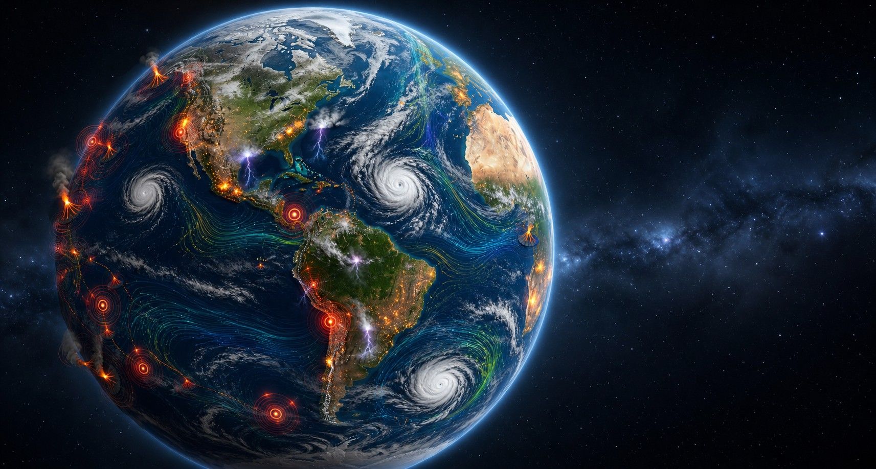
Live Natural Events on a 3D Globe: Understand Earth While It Changes
LiveGlobe 3D makes earthquakes, volcanoes, storms, wildfires, clouds, and wind visible on an interactive globe. World events become spatial, immediate, and easier to understand.
Short clips
The app in motion: short, genuine glimpses straight from use.
At a glance
How the app feels on your phone.
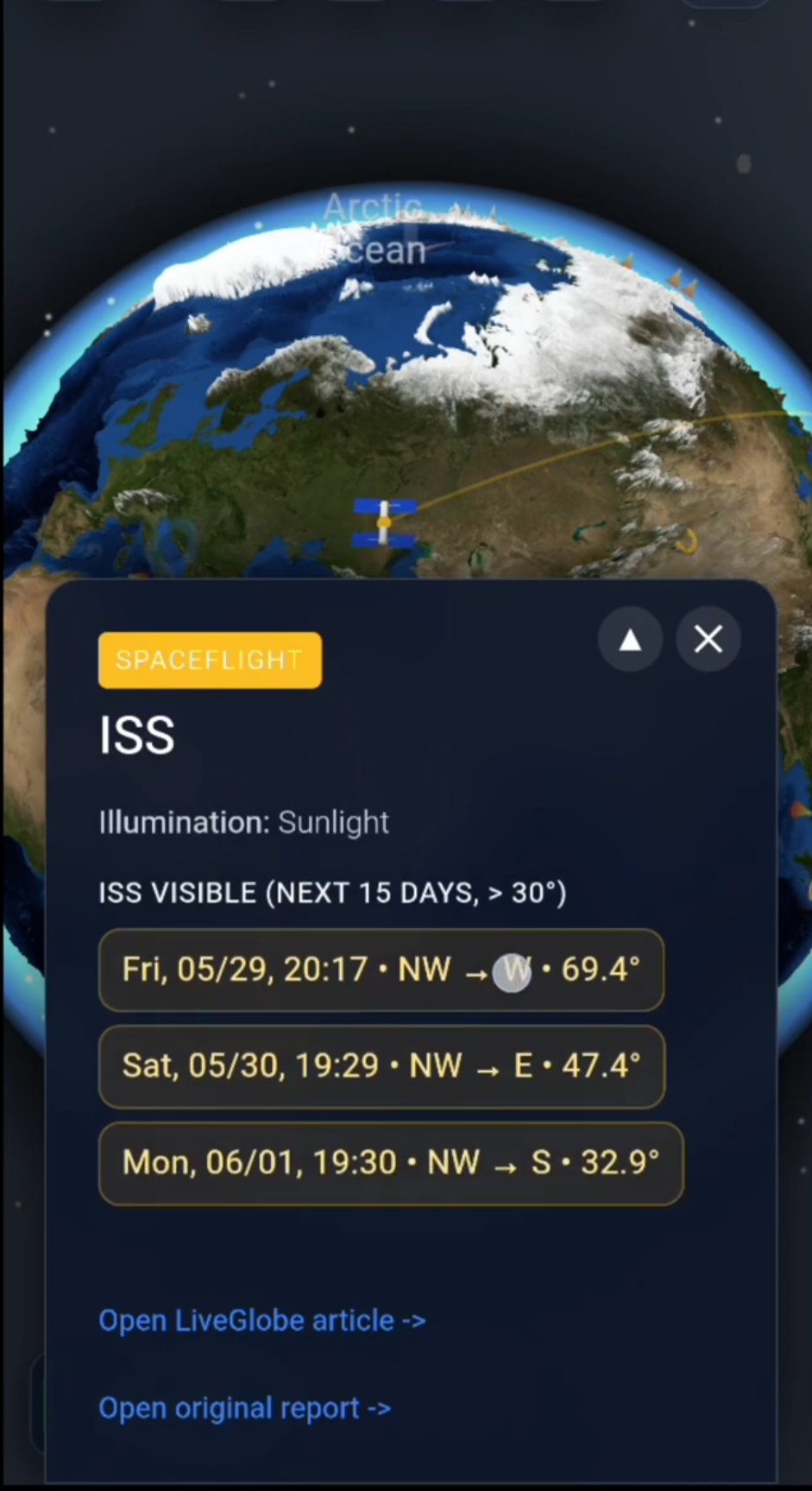
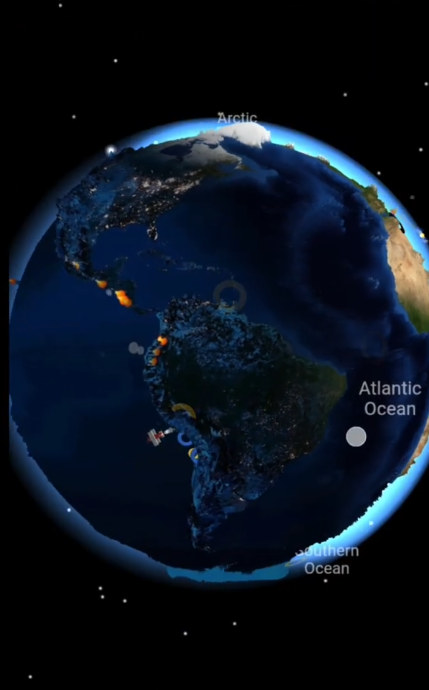
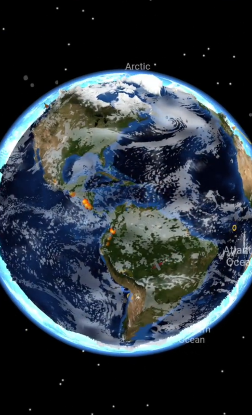
Maps often make Earth look quiet. They show continents, oceans, and borders, but not always what is happening right now. That is where LiveGlobe 3D becomes exciting: it combines a freely rotatable 3D relief globe with live events such as earthquakes, active volcanoes, storms, wildfires, clouds, thunderstorms, and wind.
Instead of seeing natural events as a list or a flat map, you can explore them in space. Rotate toward a region, zoom in, and immediately understand how an event sits in the wider context of Earth: near a plate boundary, above warm ocean water, close to a coast, or inside a moving weather system.
Why a 3D Globe Makes Natural Events Easier to Understand
Many live events are deeply geographic. An earthquake is more than a magnitude value. A hurricane is more than a name in the news. A wildfire is more than a notification. Once these events appear on a globe, distances, patterns, and regional connections become much clearer.
LiveGlobe 3D makes these connections tangible:
- Earthquakes appear as markers shaped by strength and recency.
- Active volcanoes can be discovered around the world.
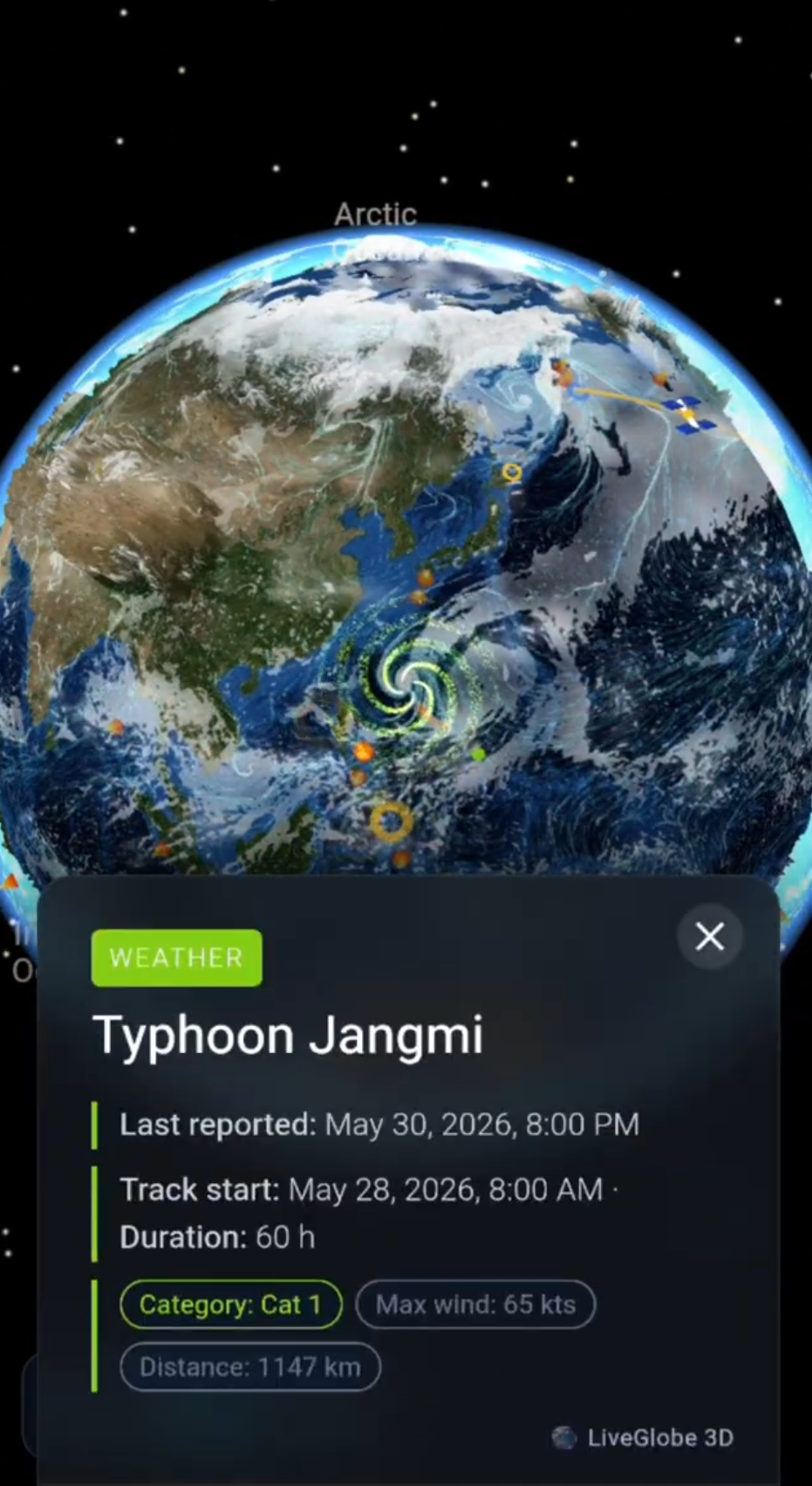
- Tropical storms become easier to follow through tracks and wind strength.
- Wildfires show where heat and dry conditions are becoming critical.
- Clouds, thunderstorms, and wind give the planet a living weather layer.
The result is a different view of world events: less abstract, more immediate.
Earthquakes: When the Planet Moves
Earthquakes are a perfect example of why an interactive globe matters. LiveGlobe 3D can show current quakes from the last 24 hours and present details such as location, magnitude, depth, time, tsunami hints, and significance.
The real insight comes while exploring. Many earthquakes are not randomly scattered. They follow geological structures. Rotate the globe and patterns appear along island arcs, mountain chains, and ocean margins. Individual alerts become a global picture of Earth’s motion.
Volcanoes: Active Hotspots of Earth
Active volcanoes tell stories about plate tectonics, island chains, and the energy inside our planet. In LiveGlobe 3D, they appear as clickable markers with details such as name, status, latest report, and source.
For curious users, that is powerful. A volcano is not just a place on a map. It is part of a global system. You can jump from Iceland to Indonesia, circle the Pacific, and see how many active regions belong to the same dynamic planet.
Storms, Clouds, and Wind: Weather in Motion
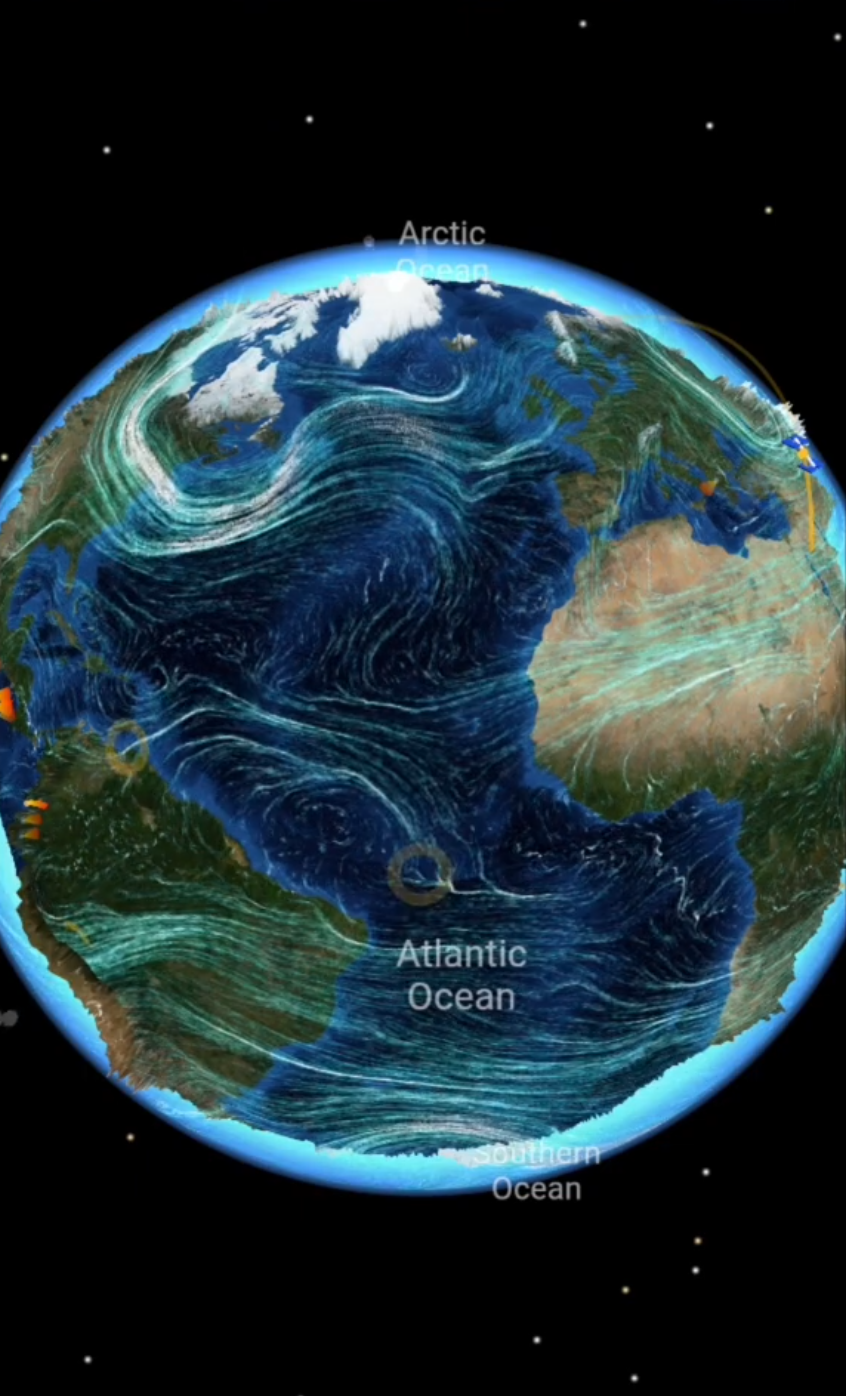
Weather is movement. On a static map, it often looks smaller than it really is. LiveGlobe 3D combines tropical storms, hurricane tracks, cloud layers, thunderstorms, and wind into an experience that presents the atmosphere as one connected system.
Storm tracks are especially useful. They show how tropical systems develop, where they travel, and how wind speeds change. Animated-looking wind streams add another layer: weather does not stop at national borders. It flows, rotates, accelerates, and links regions together.
Wildfires: Local Events With Global Context
Wildfires are locally devastating, but globally relevant. They are connected to heat, drought, vegetation, wind, and climate conditions. When fire events appear on a globe, they are no longer isolated dots. They sit inside a wider landscape, season, and weather pattern.
LiveGlobe 3D uses current event data and clickable markers for this. It creates a fast entry point: Where is fire activity happening? Which regions are affected? How close is the event to cities, coasts, mountains, or other weather phenomena?
From News Point to Experience
The big difference is interaction. You do not only read a report; you move to the event. You zoom, rotate, compare, and jump between regions. That makes LiveGlobe 3D useful for learning, curiosity, monitoring, and presentations.
A teacher can show current earthquakes in class. A weather enthusiast can follow storms and wind patterns. Travelers can understand what is happening in a region. Anyone who likes to grasp world events visually gets an Earth that does not stand still.
Conclusion: Explore Earth Live
Live natural events on a 3D globe are more than a technical trick. They reveal Earth as an active, connected system. Earthquakes, volcanoes, storms, wildfires, clouds, and wind are not only displayed; they are placed in spatial context.
LiveGlobe 3D turns current natural events into an interactive journey. If you want to understand Earth, do not only read about it. Rotate it, explore it, and experience it live.