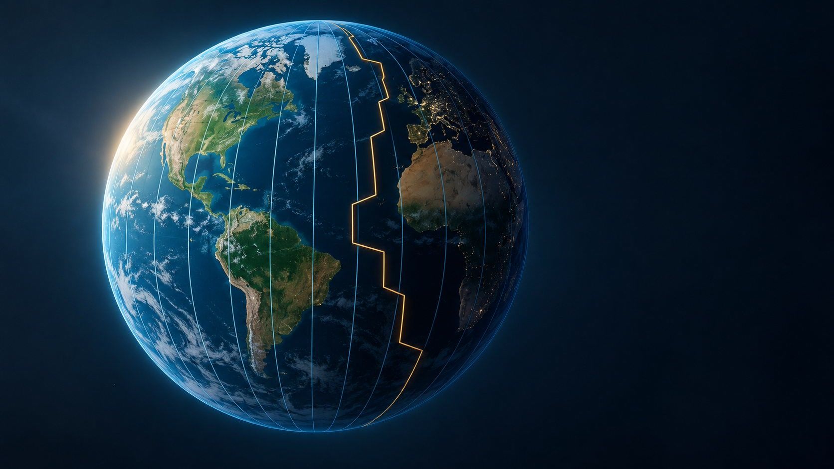
Why time zone boundaries don't follow lines of longitude
Why do time zones zigzag instead of following meridians? Learn how solar noon, UTC offsets and civil time fit together with a simple globe example.
Short clips
The app in motion: short, genuine glimpses straight from use.
At a glance
How the app feels on your phone.
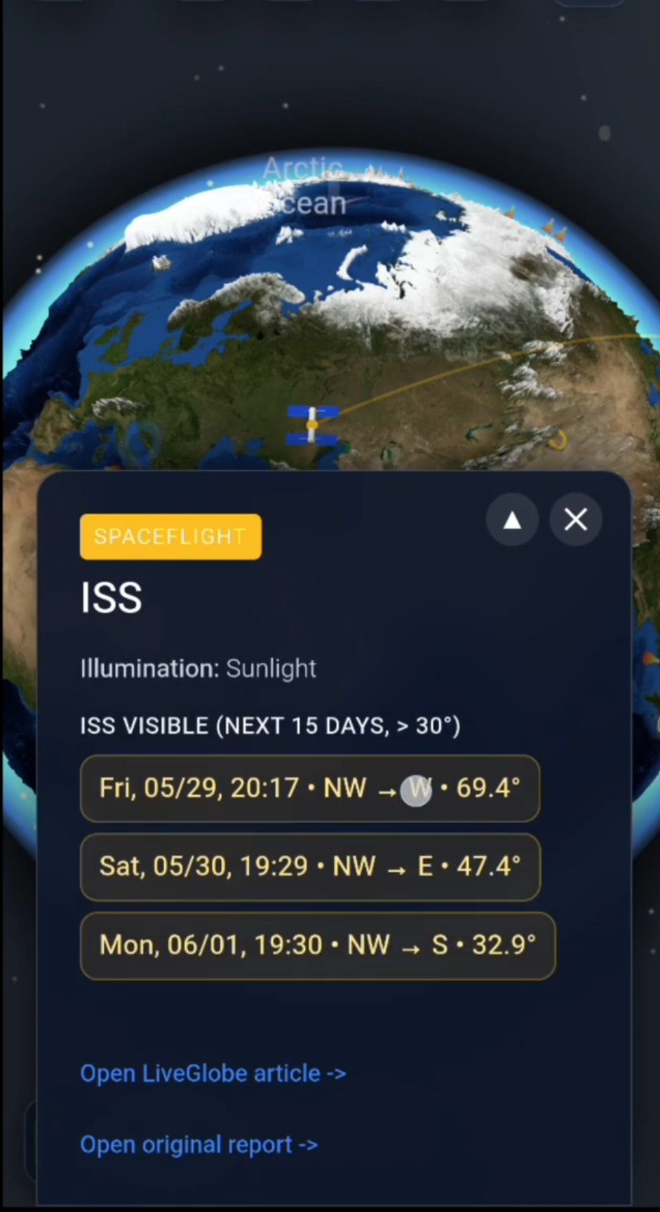
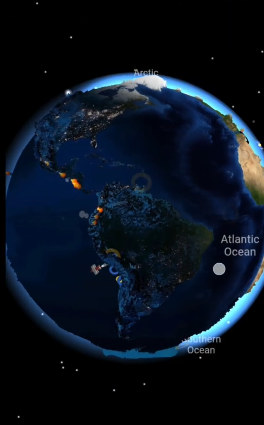
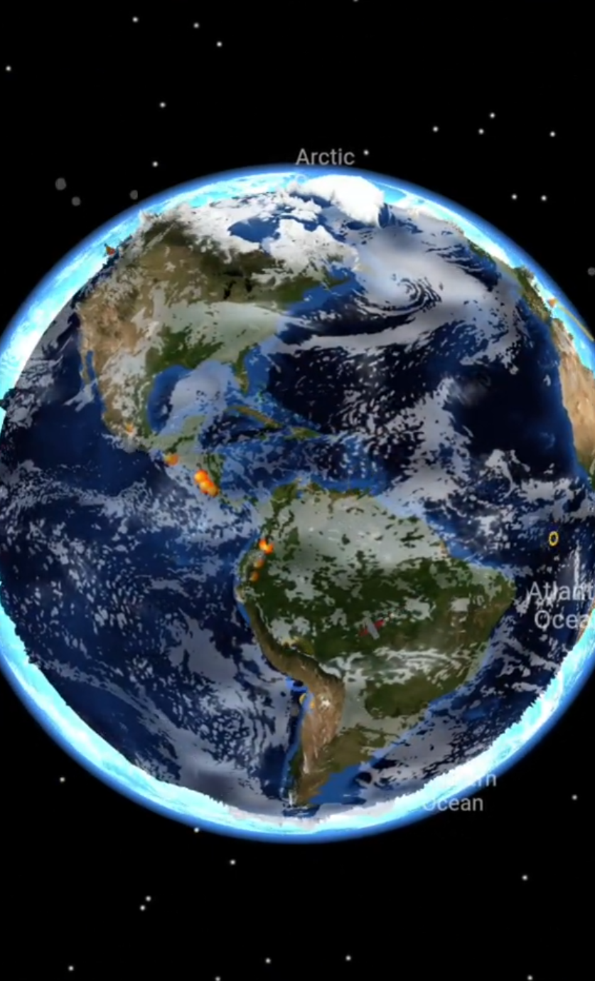
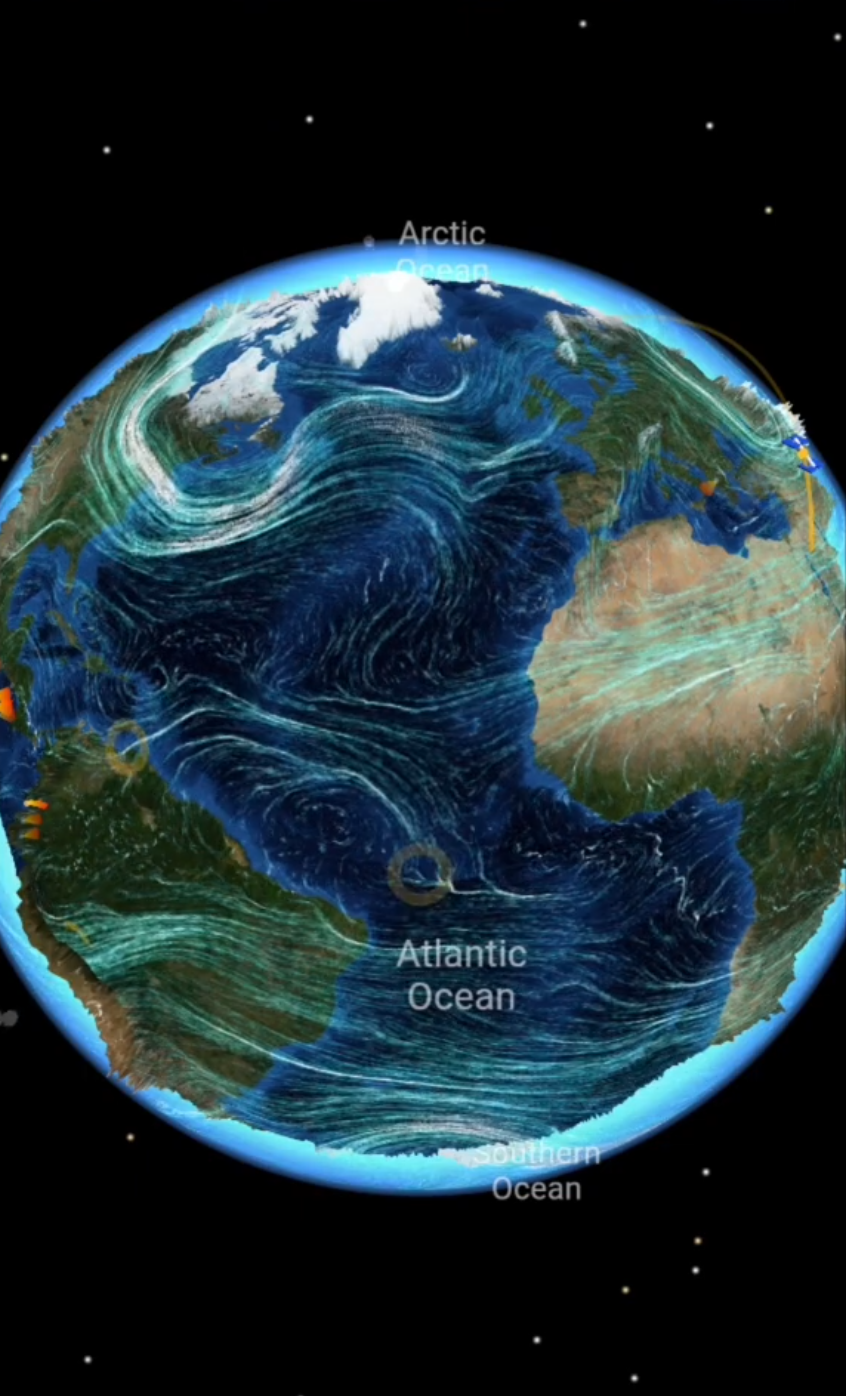
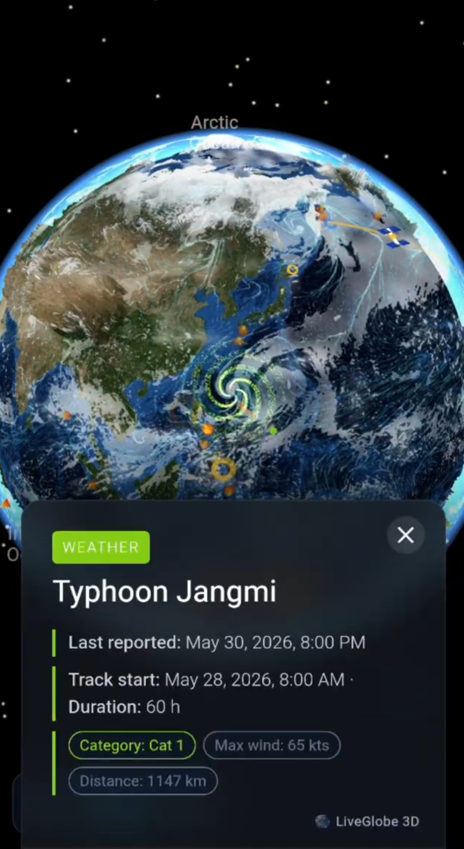
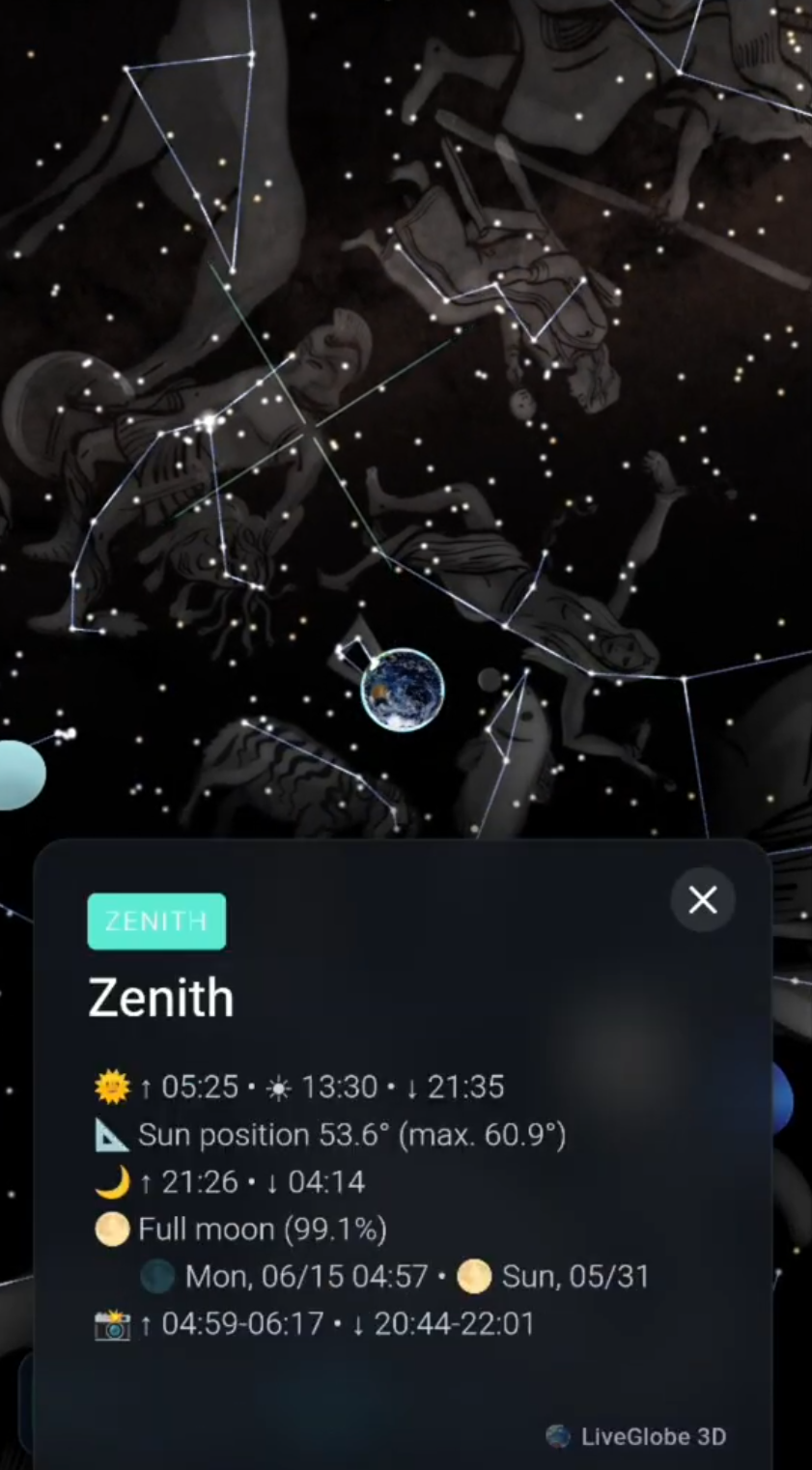
On a globe, meridians run from pole to pole. On a time zone map, the boundaries between clock times bend around regions instead. Why aren’t time zones straight strips? The answer lies in the difference between the Sun’s position and civil time, the time a place uses on its clocks.
The Sun moves across meridians, not political borders
As Earth rotates, different longitudes face the Sun in turn. Solar noon is when the Sun crosses the meridian of a particular place and reaches its highest point there. It usually does not coincide with 12:00 on a clock. Farther east, solar noon generally arrives earlier than farther west. Time and Date explains solar noon.
For a useful approximation, divide a complete turn of 360 degrees by roughly 24 hours: that gives 15 degrees of longitude per hour of mean solar time. It is a model of Earth’s rotation, not a rule requiring the clock to change every 15 degrees. Actual solar noon can also drift relative to a regularly running clock over the year (Time and Date: time zones; solar noon).
Civil time is a shared rule
If every town set its clocks precisely by the Sun, nearby towns would have slightly different times. Instead, regions agree on a shared civil time. A UTC offset tells you how far that clock time is ahead of or behind Coordinated Universal Time: at UTC+1, for example, the clock reads one hour later than UTC. The offset does not tell you exactly where the Sun is over a particular street (Time and Date: UTC offsets).
Draw ideal time zones as 15-degree-wide strips and their edges look neat. Real boundaries often follow national or administrative decisions and geography instead of a meridian. That is why they zigzag on a map. Time and Date’s time zone map notes that regions sharing a clock time may lie at quite different longitudes.
A thought experiment, not a claim about specific countries: Imagine two places at the same longitude on opposite sides of a legally established time boundary. The Sun could reach its highest point at about the same moment for both, even if their clocks read different hours. Conversely, two places in one time zone can show the same clock time while the more easterly one reaches solar noon first. Nature changes gradually; clock rules can change at a border.
More than 24 straight strips
The familiar diagram of 24 equal bands is a starting point, not a faithful map. Some UTC offsets differ from whole hours by 30 or 45 minutes. Where daylight saving time is used, the offset in force can change during the year. A place’s time zone rules therefore cannot always be reduced to one permanent number (Time and Date: time zones; UTC offsets).
Governments may change those rules, too. The IANA Time Zone Database records updates reflecting decisions about boundaries, offsets and daylight saving. To find a specific local clock time, check an up-to-date time zone resource for the place and the date; longitude alone is not enough.
Reading a time zone map in three steps
- Locate the place and its boundary. A bend along a border does not mean Earth’s rotation bends there.
- Read the UTC offset for the date you mean. Daylight saving rules may affect the offset currently in use.
- Keep clock time separate from sunlight. A clock can jump across a boundary; the Sun’s path does not.
To picture the difference, compare neighboring areas and meridians on a globe. LiveGlobe 3D has a globe you can rotate and zoom, with a switchable time-zone display in its settings, subject to the view being available to you. That is a way to explore spatial relationships, not a promise of a clock converter or a precise solar-position calculator. For finding places first, see the existing worldwide place search guide.
The takeaway: longitude helps explain solar time; civil time zones determine the clock time people share. Explore the available globe views on the LiveGlobe 3D page, and use a current time-zone reference when the exact hour matters.