Earth becomes tangible
Places, countries, coordinates and current events become visible on the 3D globe.
LiveGlobe 3D makes Earth, weather, climate, natural events and the night sky visible directly in the browser for lessons and research tasks.
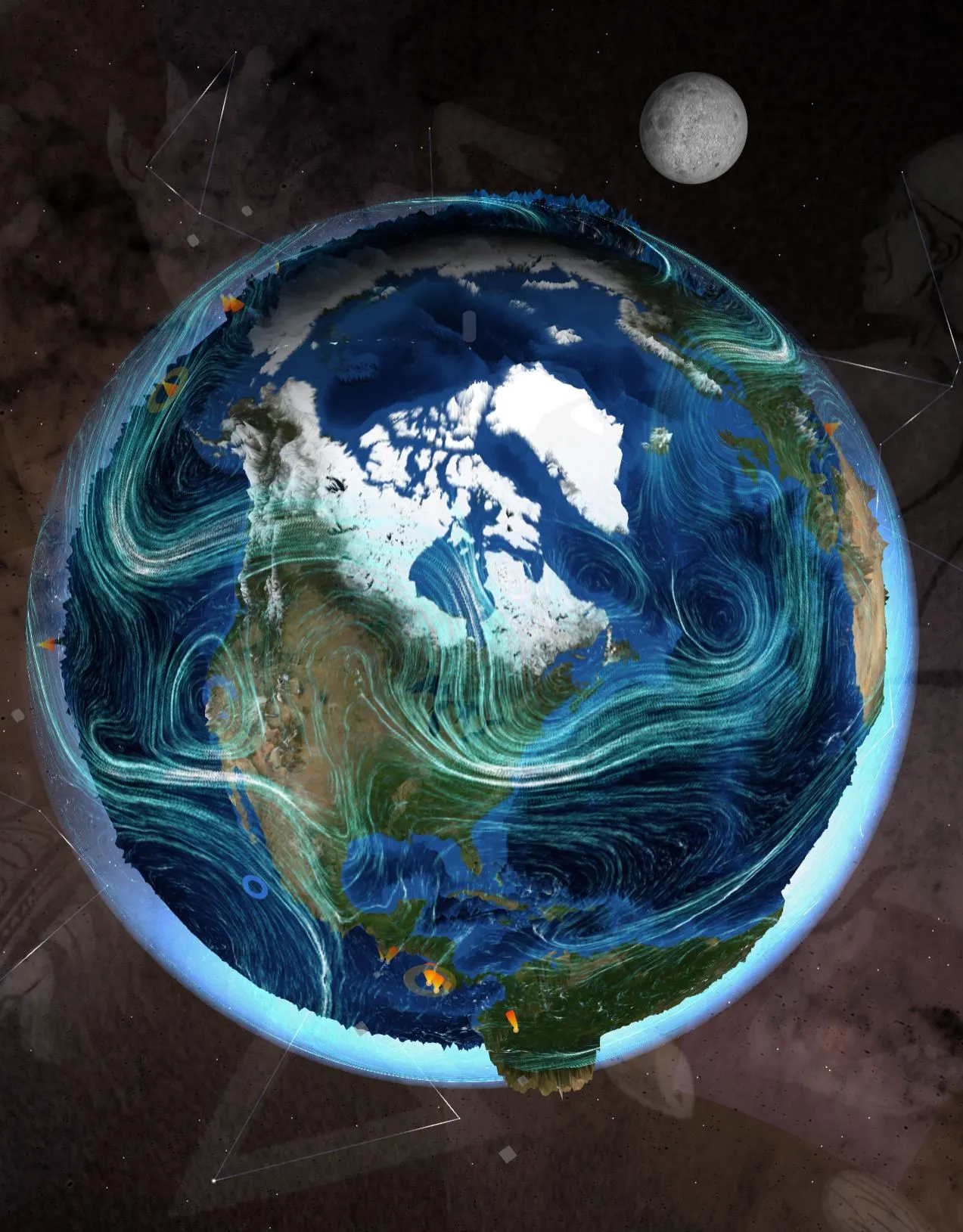
Places, countries, coordinates and current events become visible on the 3D globe.
Explore earthquakes, volcanoes, storms, clouds, wind and weather data together.
Moon phases, the Sun, planets, constellations and ISS passes complement geography.
Explore continents, countries, oceans, time zones and antipodes.
Place current weather, climate layers and natural events in context.
Use the Moon, night sky and ISS for observation tasks.
Compare live data, sources and map knowledge.
Spatial thinking, observation, comparison, asking questions and digital research come together in one visual environment.
Schools and organizations receive fair annual terms matched to their use instead of a rigid price list.
Send me a short email and I will provide demo access so you can try LiveGlobe 3D in the browser.