Active volcanoes in Italy: Etna, Stromboli and dormant Vesuvius
Locate Etna, Stromboli and Vesuvius on a map of Italy. Understand active, dormant and erupting, with a simple globe exploration.
Which Italian volcanoes are active? Etna and Stromboli erupt frequently; Vesuvius has been dormant since its last eruption in 1944. Dormant does not mean extinct. To make sense of a volcano map, separate two questions: where is the volcano, and what does its activity label actually describe?
This guide introduces three familiar names, places them in their geographical setting and explains why “active” is not a synonym for “erupting right now.” It is an evergreen overview, not a report of an ongoing eruption.
What does “active” mean?
The answer depends on the timescale. In broad geological usage, a volcano can remain active through a long interval without eruptions if it could erupt again. The Italian Civil Protection Department’s overview, in Italian, uses a more specific distinction between frequently active, dormant and extinct volcanoes. It places Etna and Stromboli in the frequently erupting group and Vesuvius among the dormant volcanoes, or quiescenti.
These descriptions need not conflict. Dormant is not extinct; active does not necessarily mean erupting at this instant. A statement about a current eruption needs a timestamp and an authoritative source. Likewise, any count of Italy’s “active volcanoes” needs a definition before the number is useful.
Where are the three best-known volcanoes?
| Volcano | Location | Main point of comparison |
|---|---|---|
| Etna | Eastern Sicily, near Catania | Frequent eruptive activity, with summit and flank vents |
| Stromboli | Its own island in the Aeolian Islands, north of Sicily | An island volcano known for recurring explosive activity |
| Vesuvius, or Vesuvio | Mainland Italy, southeast of Naples | Dormant since 1944, not extinct |
This is a selection, not a complete inventory. Remember the sequence Sicily – an island group to its north – the mainland near Naples. It prevents a common geographical mix-up: all three are Italian, but they are not all on Sicily.
Etna: more than a single summit crater
Etna can erupt from summit craters or vents on its flanks. Layers of volcanic material and numerous smaller cones make up its landscape. The Civil Protection profile of Etna, in Italian, describes lava flows as well as explosive activity and ash emissions.
A dot on an overview map therefore represents a large volcanic edifice, not the precise location of every possible vent. Start with Sicily’s eastern coast. Only then zoom in to investigate a different question: where are the craters, valleys and slopes within that larger structure?
Stromboli: the island is only the visible part
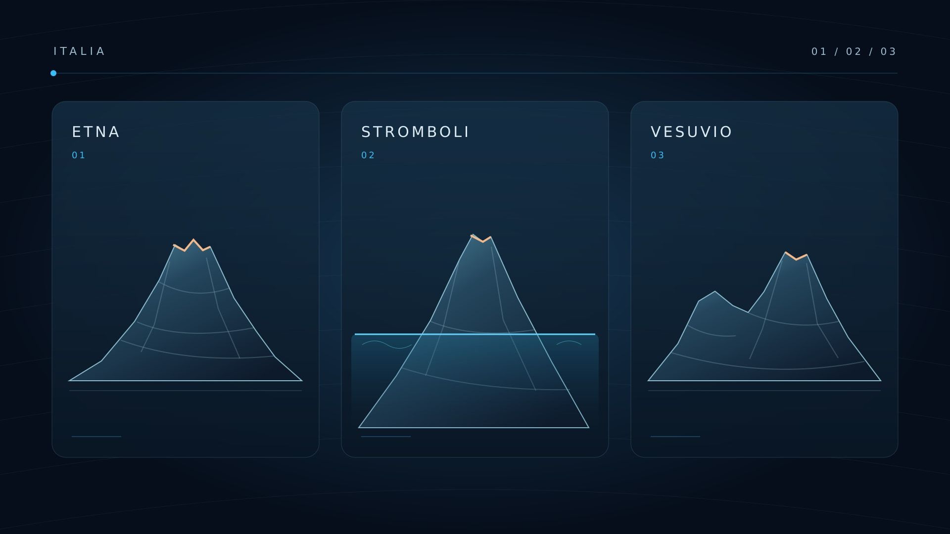
Stromboli belongs to the Aeolian Islands. Its volcanic edifice extends below sea level, so the island is not the whole volcano. Its characteristic recurring explosions gave their name to “Strombolian” activity.
However, the official Stromboli profile, in Italian, also describes stronger explosions, lava flows and slope instability. Familiar images of small bursts do not establish a reliable timetable or a safe visiting distance. For a globe exercise, the key distinction is geographical: Stromboli is a separate island north of Sicily, not a crater on Etna.
Vesuvius: a long pause is not extinction
Vesuvius stands near Naples and forms part of the Somma–Vesuvius complex. Its last eruption was in 1944. The Civil Protection account of Vesuvius, in Italian, explains the subsequent dormant phase and scientific monitoring.
The wording matters. A long interval without an eruption does not guarantee that none will ever occur again. Equally, calling a volcano dormant does not give a date for its next eruption. The famous AD 79 eruption provides historical context, not a forecast template.
Italy’s volcanic landscape includes more than three cones
Campi Flegrei near Naples, Ischia, Vulcano and other areas also belong in the picture. There are submarine volcanoes too, including in the Tyrrhenian Sea. Not every volcanic system looks like an isolated mountain with a crater at the top.
Use the Civil Protection overview to add further areas to your geographical comparison. Locate each one first, then read its activity description. A marker alone is not a statement about present danger.
A short LiveGlobe 3D exploration
- Rotate the globe to the Mediterranean and identify Italy and Sicily.
- Use the magnifying-glass search to find Catania and Naples first. Compare them with the locations above, then search for Stromboli.
- Zoom out again. Which places are on Sicily, a smaller island and the mainland?
- Compare any available volcano entries with the responsible scientific or public authority, rather than treating an event map as a complete catalogue.
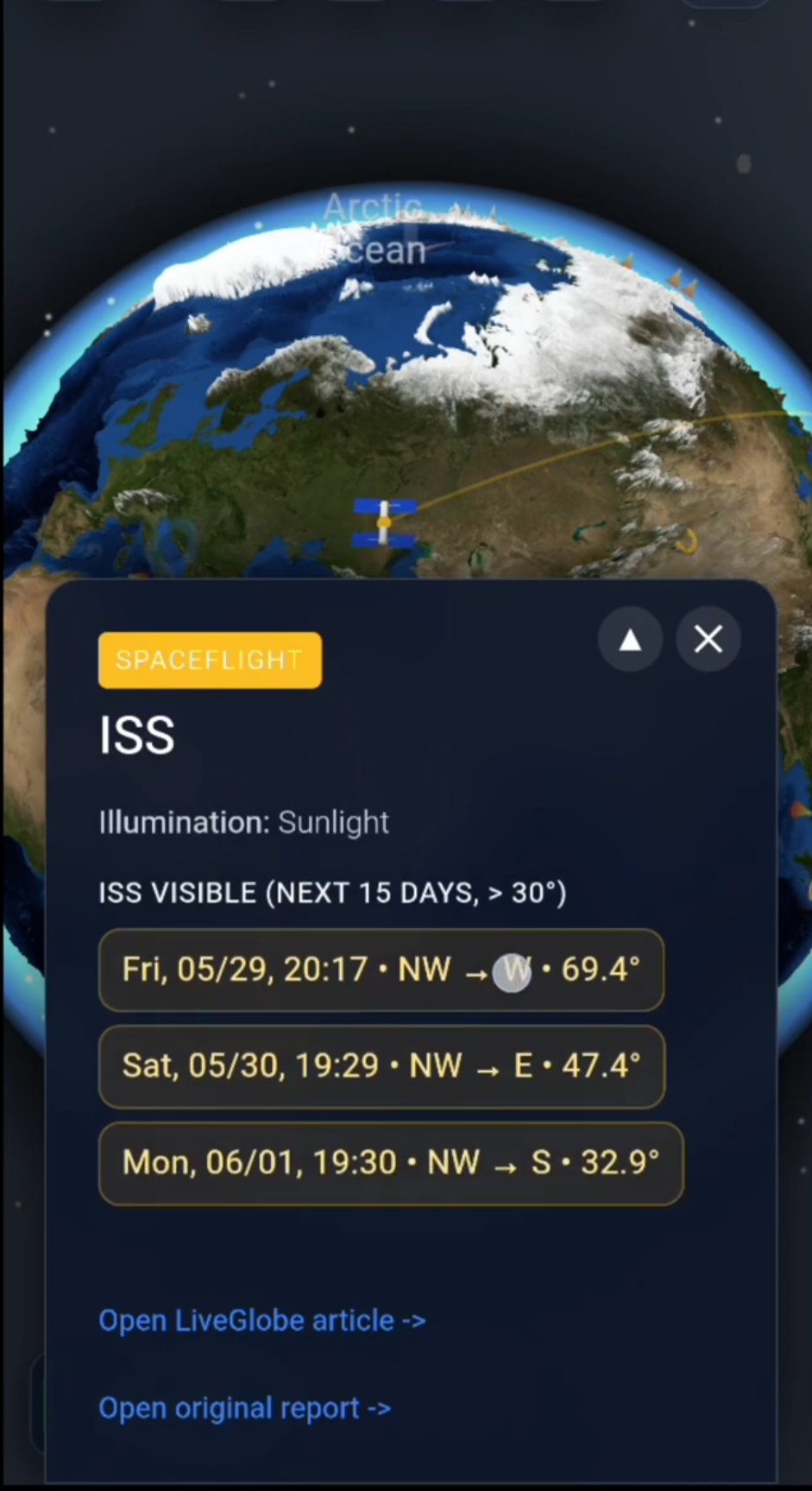
In LiveGlobe 3D you can rotate and zoom the globe and search for places. The web app has a login requirement; search uses an external service, and the volcano layer depends on available data and Premium access. Spatial exploration and scientific assessment are separate tasks. For the wider geological context, see the guide to plate boundaries.
Before a visit, check current official information and local access restrictions. A globe view cannot replace a warning or permission to use a trail. Explore the available LiveGlobe 3D views with one question in mind: which location does this label describe, and over what timescale is it “active”?
Short clips
The app in motion: short, genuine glimpses straight from use.
At a glance
How the app feels on your phone.