Tectonic plates on a map: Understanding three boundary types
Learn to read a tectonic plates map: divergent, convergent, and transform boundaries, with examples from the Atlantic, Andes, and California.
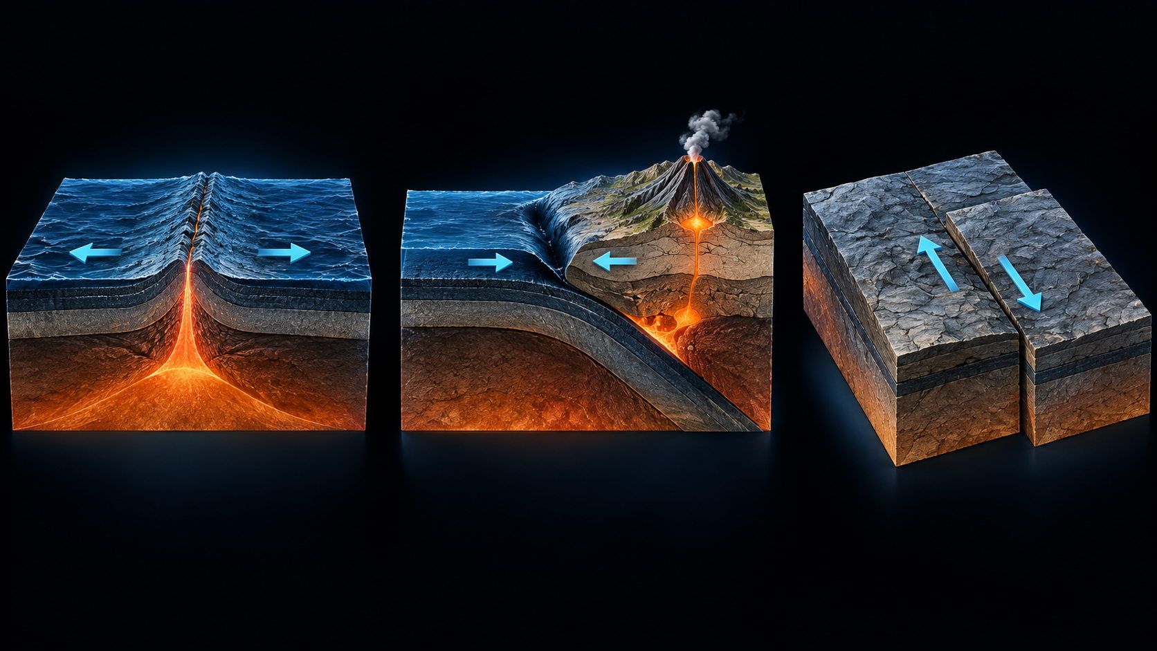
On a tectonic plates map, lines run through oceans, along coastlines, and across mountain ranges. They mark something quite different from national borders: where neighboring pieces of Earth’s rigid outer shell meet and move relative to each other. Three basic movements make the pattern easier to understand: moving apart, moving together, and sliding past.
Recognizing these movements helps explain why earthquakes and volcanoes cluster in particular regions. But not every boundary is a chain of volcanoes, and not every volcano marks a plate boundary. A simple reading routine turns the network of lines into a useful geological picture.
A tectonic plate is not a continent
A plate is more than Earth’s crust. The lithosphere, the rigid outer shell, includes the crust and the rigid uppermost part of the mantle. This shell is divided into plates that move over geological timescales (USGS: Inside the Earth).
Continents, by contrast, are large landmasses. A plate can carry both continental regions and ocean floor, so its boundary does not necessarily follow a coastline. The South American Plate, for example, also includes ocean floor east of the continent, extending to the Mid-Atlantic Ridge.
The practical lesson is to read the plate areas and boundary lines first, then the coastlines. Otherwise, it is easy to assume that South America ends geologically at the beach or that every island sits on a separate plate.
Three basic boundary types at a glance
What matters is motion relative to the neighboring plate. One arrow is not enough: compare both sides of the boundary.
| Basic type | How do the plates move? | Typical geological setting | Example |
|---|---|---|---|
| Divergent boundary | Apart | New ocean floor forms at mid-ocean ridges; volcanism and earthquakes accompany the processes | Mid-Atlantic Ridge |
| Convergent boundary | Toward each other | Subduction or continental collision; earthquakes, mountain building, and volcanism at many subduction zones | Nazca and South American plates; Himalayas |
| Transform boundary, also called a conservative boundary | Sideways past each other | Fault movement and earthquakes; this motion neither creates nor consumes crust | San Andreas system |
These are three basic types. Real geology also includes broad, complex boundary zones, smaller plates, and deformation spread across a belt rather than a single line. A thin boundary on a world map is a major simplification (USGS: Understanding plate motions).
1. Moving apart: the Mid-Atlantic Ridge
Find the Atlantic between the Americas and Europe or Africa. The Mid-Atlantic Ridge runs through it as a long underwater mountain chain. Neighboring plates move away from each other. At spreading centers, magma rises and solidifies into new oceanic crust.
Iceland makes this easier to picture. It lies on the ridge at the boundary between the North American and Eurasian plates, exposing processes that take place underwater along much of the ridge.
A divergent boundary is not an empty crack offering a view into Earth’s interior. It is a zone where rock is pulled apart and new crust forms. On a diagram, arrows on opposite sides should show the plates separating, not approaching each other.
2. Moving together: the Andes and Himalayas are different cases
At convergent boundaries, plates approach each other. What happens depends partly on the kinds of material meeting at the boundary.
Off the west coast of South America, the oceanic Nazca Plate descends beneath the South American Plate. This is subduction. The ocean trench, earthquakes, mountain building, and Andean volcanism belong to this geological setting. The volcanoes do not simply sit on the offshore boundary line: they lie farther inland, above the descending plate.
In the Himalayas, the continental parts of the Indian and Eurasian plates collide. The crust is compressed, thickened, and raised. This explains mountain building and earthquakes, but does not imply a chain of volcanoes along the whole collision zone (USGS: Convergent boundaries).
Remember: convergence means coming together; subduction is one form of convergence. Not every collision works like the Andes example.
3. Sliding past: the San Andreas system
At a transform boundary, plates mainly slide sideways past one another. California’s San Andreas system is a familiar example between the Pacific and North American plates. The Pacific side moves northwest relative to the other side.
This movement is not smooth everywhere. Sections can lock, accumulate stress, and suddenly slip, helping explain earthquakes. A volcanic belt, however, is not a typical consequence of this sideways movement alone.
Look for motion along the boundary. “Conservative” means that this boundary process neither produces new crust nor returns old crust to the mantle. It does not mean harmless.
How to read a tectonic plates map in five steps
- Check the source and legend. What do colors, line styles, triangles, and arrows mean? A red line can mark a plate boundary on one map and something entirely different on another.
- Identify the two neighboring plates. Read both sides of your chosen boundary. Do not confuse plate names with countries or continents.
- Work out their relative motion. Apart, together, or sideways past? If the map has no movement symbols, consult a geological source instead of guessing the type from the color.
- Compare landforms and events. Does a ridge, trench, mountain range, or earthquake pattern fit the boundary type? The map provides context, not proof for every individual event.
- Consider scale and time span. A global boundary map simplifies local faults. A current event map only includes the reports selected for its time window; it is not a complete record of geological activity.
For a quick exercise, start in the middle of the Atlantic, rather than on a coast. Then find the boundary west of the Andes. In the first setting, plates separate and new ocean floor forms; in the second, one plate descends beneath another. Both can have earthquakes and volcanism, for different geological reasons.
To interpret an individual earthquake report next, see magnitude, depth, and intensity explained. It distinguishes event size from effects at a particular location.
Why some volcanoes and earthquakes lie away from the lines
Many events cluster near plate boundaries, but there are exceptions. Hawaii, within the Pacific Plate, is a well-known example of hotspot volcanism. A volcano alone therefore does not tell you the boundary type (USGS: Hotspots).
Earthquakes can also occur within plates. Broad boundary zones, local faults, and the depth of an earthquake source further complicate the pattern. A global boundary line is a guide, not an exact outline of everywhere the ground can shake.
Explore the spatial picture with LiveGlobe 3D
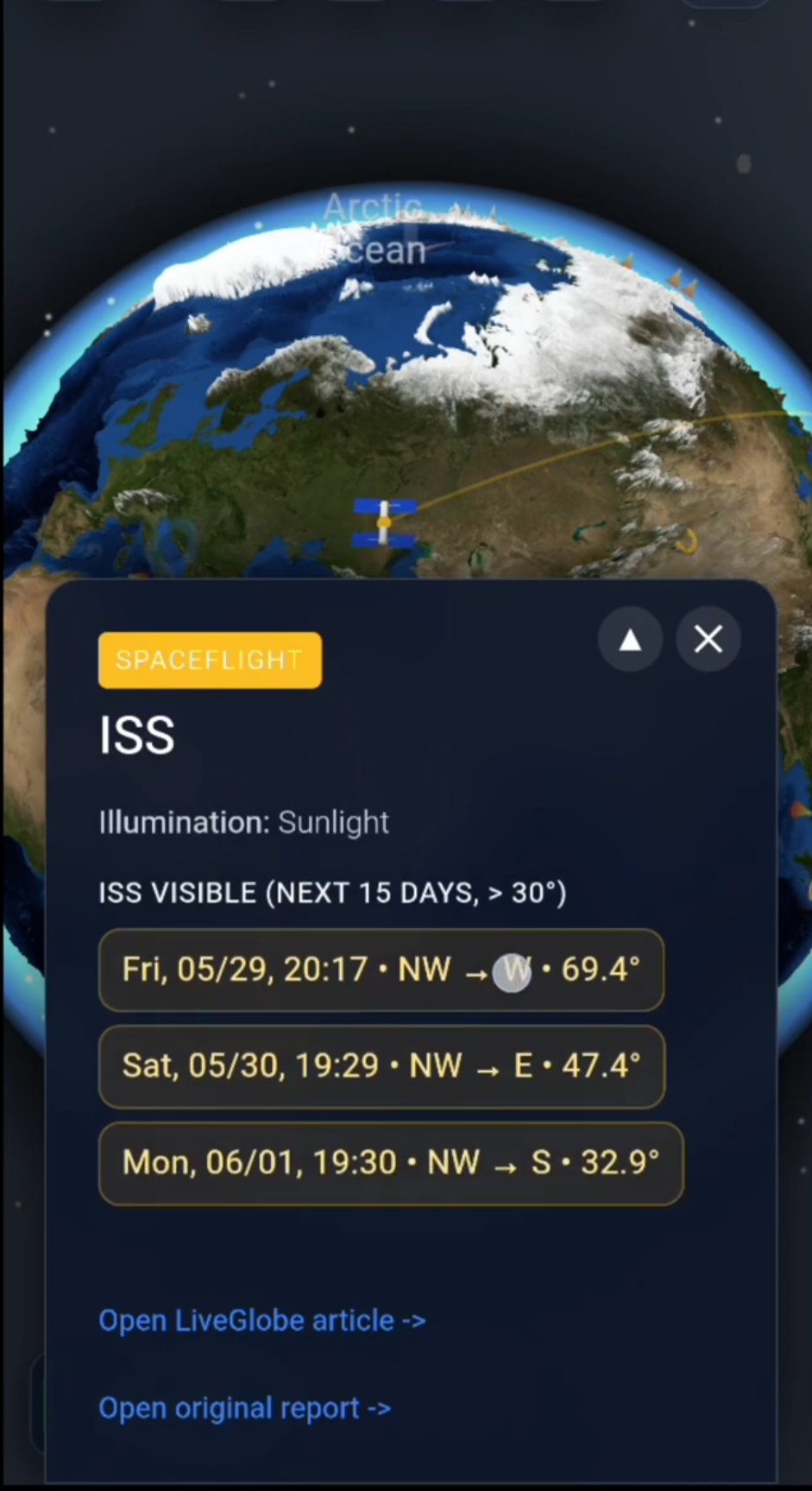
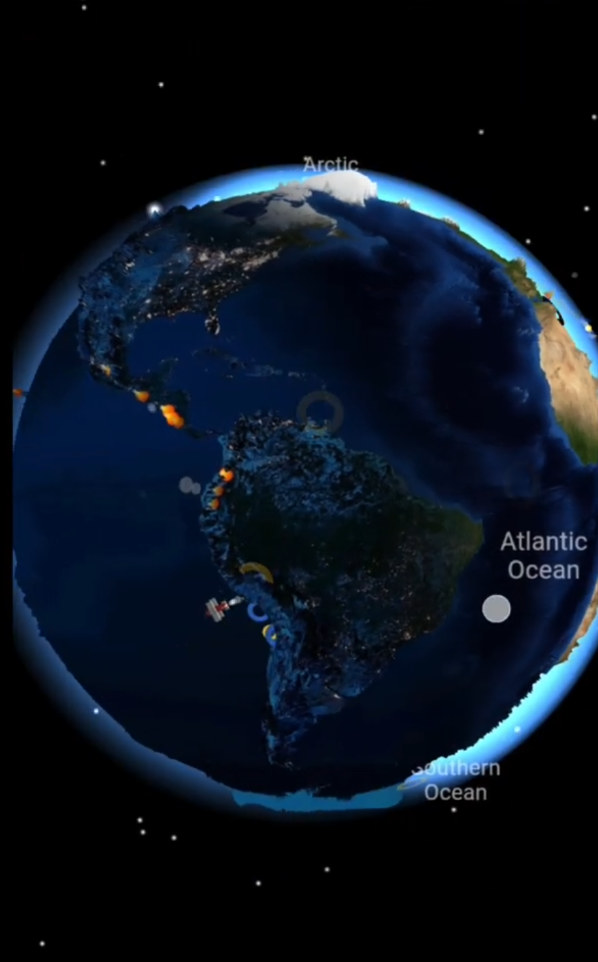
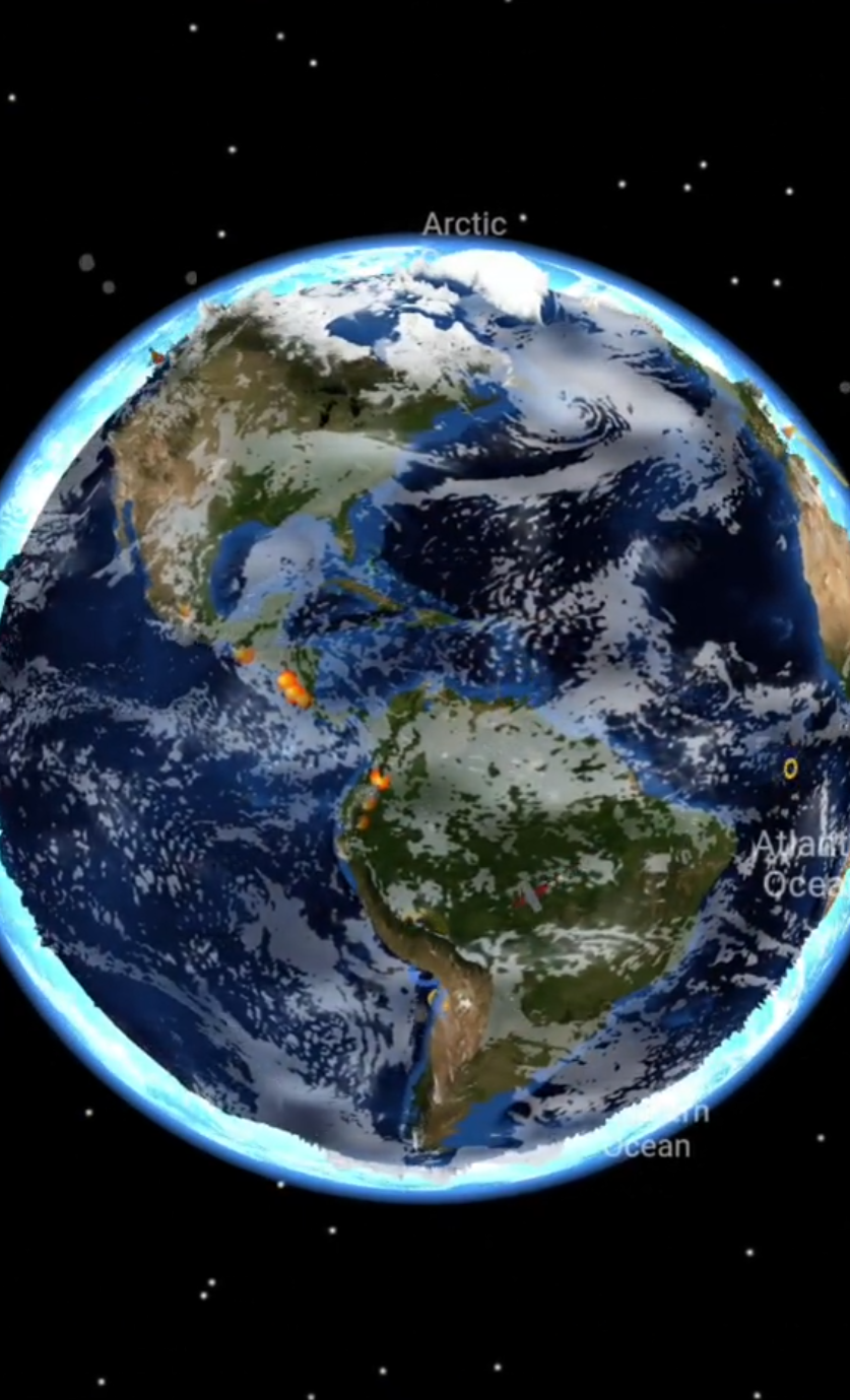
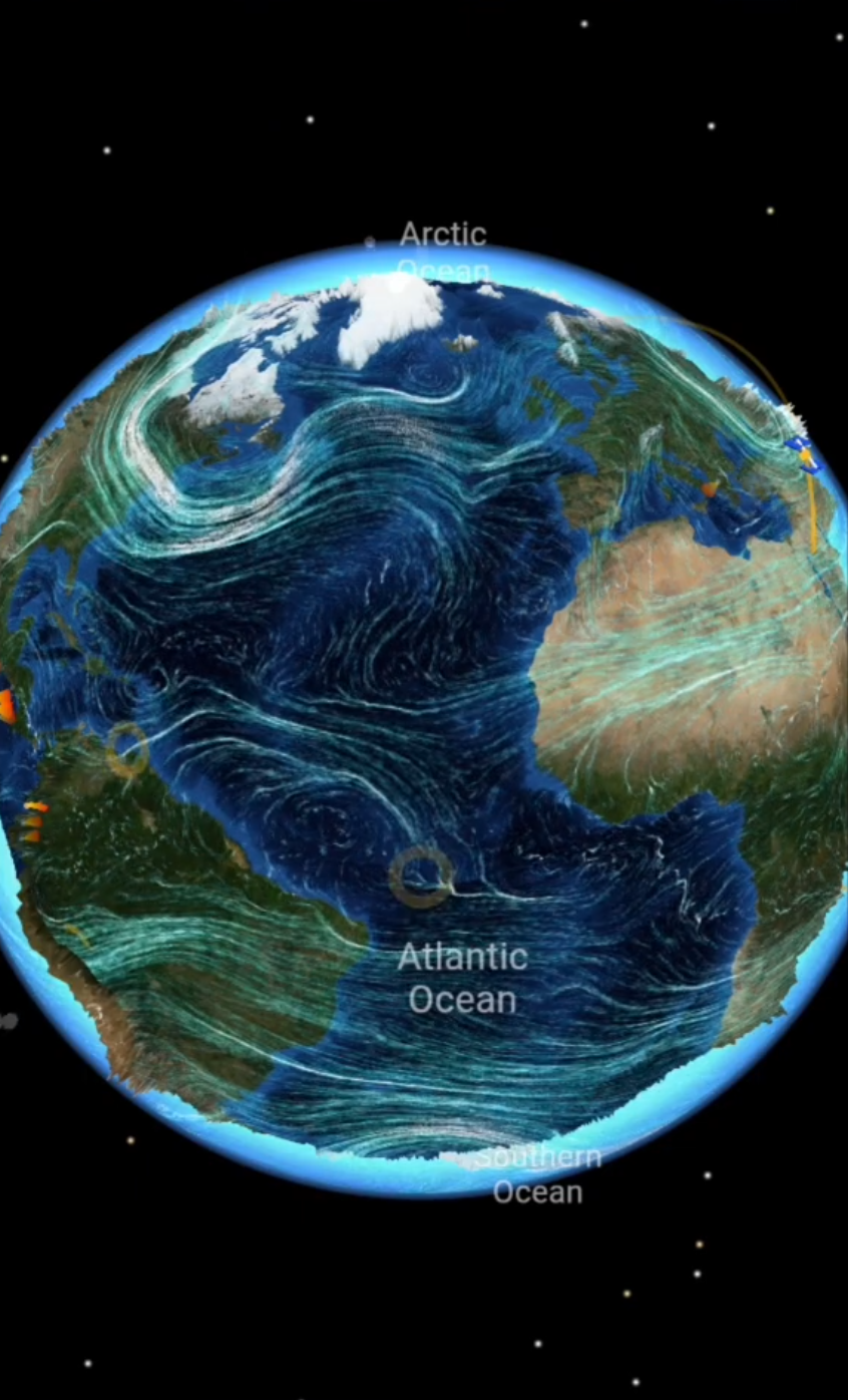
With LiveGlobe 3D, you can rotate and zoom the globe and enable the plate layer in the settings. Start with an ocean or continental margin in view before zooming into a smaller region. This makes it easier to compare the Atlantic ridge with the western edge of South America.
If available with your access, add earthquake or volcano layers from the live menu. Use them for a spatial comparison with a geological map. The web app requires sign-in; live layers depend on external data and partly on Premium access. Their event selection is not a complete geological inventory.
Start with one question: What relative movement between neighboring plates explains the features here? Explore the views available in LiveGlobe 3D and keep your geological map’s legend alongside you.
Frequently asked questions
Why do maps show different numbers of plates?
Overview maps often group smaller units together, while detailed models distinguish small plates and broad boundary zones. For comparisons, the source, model, and scale matter more than a supposedly universal plate count.
Does each continent lie entirely on one plate?
No. Plates and continents describe different things. A plate can include land and ocean floor; a large landmass can contain parts of several plates.
Can a plate map predict the next earthquake?
No. It explains large-scale geological relationships, but does not give the time, location, or magnitude of a future earthquake. A boundary type is not a short-term prediction (USGS: Can you predict earthquakes?).
Short clips
The app in motion: short, genuine glimpses straight from use.
At a glance
How the app feels on your phone.