Active volcanoes in Mexico: locating Popocatépetl and Colima
Locate Popocatépetl and Colima on a map, compare historical satellite observations, and distinguish image dates from current volcanic activity reports.
Popocatépetl and Colima are two well-known active volcanic systems in Mexico. Documented eruptions and satellite observations make both useful places to explore. But a volcano symbol on a map initially answers a question about location. Whether an eruption is happening there now is a separate question, requiring a report with a clear time reference.
This guide connects two selected volcanoes with a practical reading routine: find the place, compare observations, and check the dates. It is neither a complete inventory nor a bulletin about an eruption today.
Which volcanoes does this guide cover?
For many readers, Mexico’s active volcanoes bring Popocatépetl, also called El Popo, to mind first. About 70 kilometers southeast of Mexico City, it is a useful starting point. Colima is another Mexican volcanic system with documented eruptions. Both have historical satellite observations accompanied by clear explanations.
| Example | How to orient your search | What to investigate |
|---|---|---|
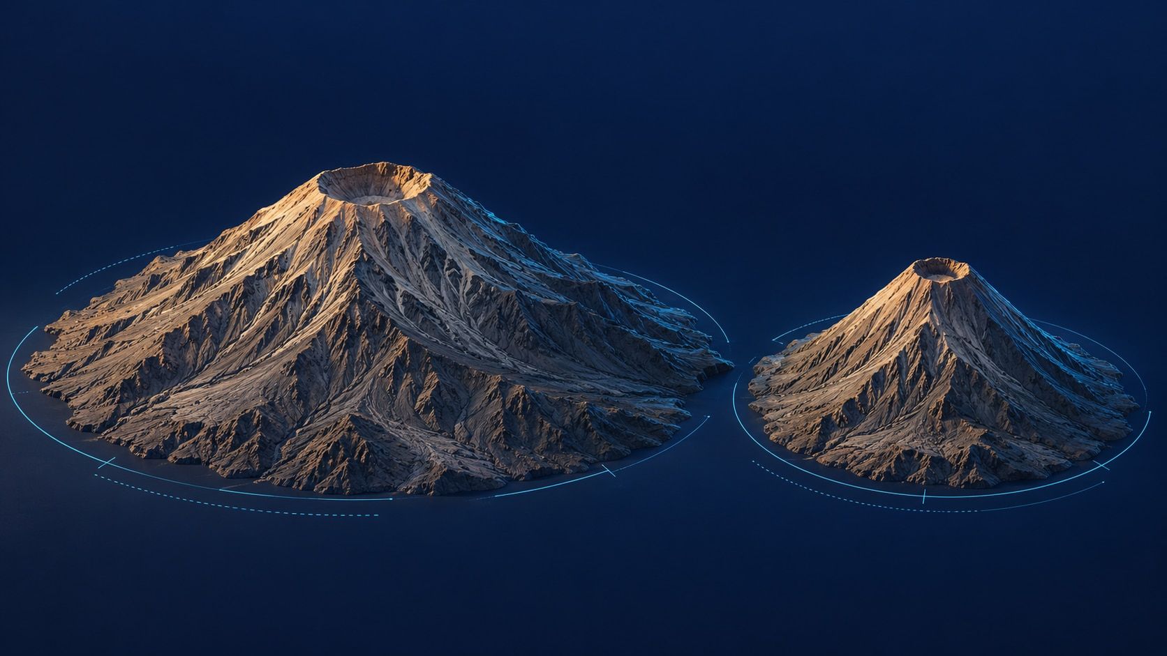
| Popocatépetl | Find Mexico City, then the area southeast of it | The volcano’s location and a dated image of its eruption plume |
| Colima | Distinguish the volcano from search results for the city or state of the same name | An optical image before an eruption versus later thermal measurements |
An active volcano does not have to be producing visible lava all the time. An eruption history, one observation, and present activity describe different things. That is also why a count of “active volcanoes” needs a definition and a named catalog.
Popocatépetl: separate the mountain from the plume
ESA’s Sentinel-2 description of Popocatépetl refers to an image acquired on November 17, 2023. The page was published on November 23, 2023. Even this simple example distinguishes acquisition from publication.
An image like this helps you examine the location of the volcano and the spread of a visible plume. It records a particular moment. The plume’s shape is not a permanent part of the mountain, and the direction it took then is not a forecast for today.
For broader context, Mexico City lies in the Trans-Mexican Volcanic Belt described by ESA. National borders alone do not explain this volcanic landscape. Our guide to tectonic plates and boundary types introduces the general geological framework.
Colima: two images answering different questions
Colima offers a particularly useful exercise in comparing both time and measurement method:
- The Landsat-8 image from September 6, 2016 was taken before the eruption that ESA dates as beginning on September 30, 2016.
- The Sentinel-3A observation from October 11, 2016 displays processed brightness-temperature anomalies following that eruption. It comes from a different instrument and is not an ordinary natural-color photograph.
- Both ESA pages were published on October 19, 2016. Matching page dates do not mean matching observation times.
Read a thermal product’s colors using its explanation and legend. A bright or colored area may represent a measured quantity rather than the color a person would see on the ground. Likewise, an older, quiet-looking landscape image does not establish that the volcanic system is now extinct.
Three time references to check
Acquisition date: When did the satellite record the image? This dates the observation, not the most recent known activity.
Publication date: When did the description or report appear? It may have been published days after the measurement.
Reporting period: What span of time does an activity report cover? A weekly report, a snapshot, and a bulletin for today are different kinds of evidence.
Try this example: you open the Colima page today and see October 19, 2016. “Today” describes your visit to the page, not the eruption. To answer “Which Mexican volcanoes are erupting today?” you also need a current scientific bulletin.
A short exploration with LiveGlobe 3D
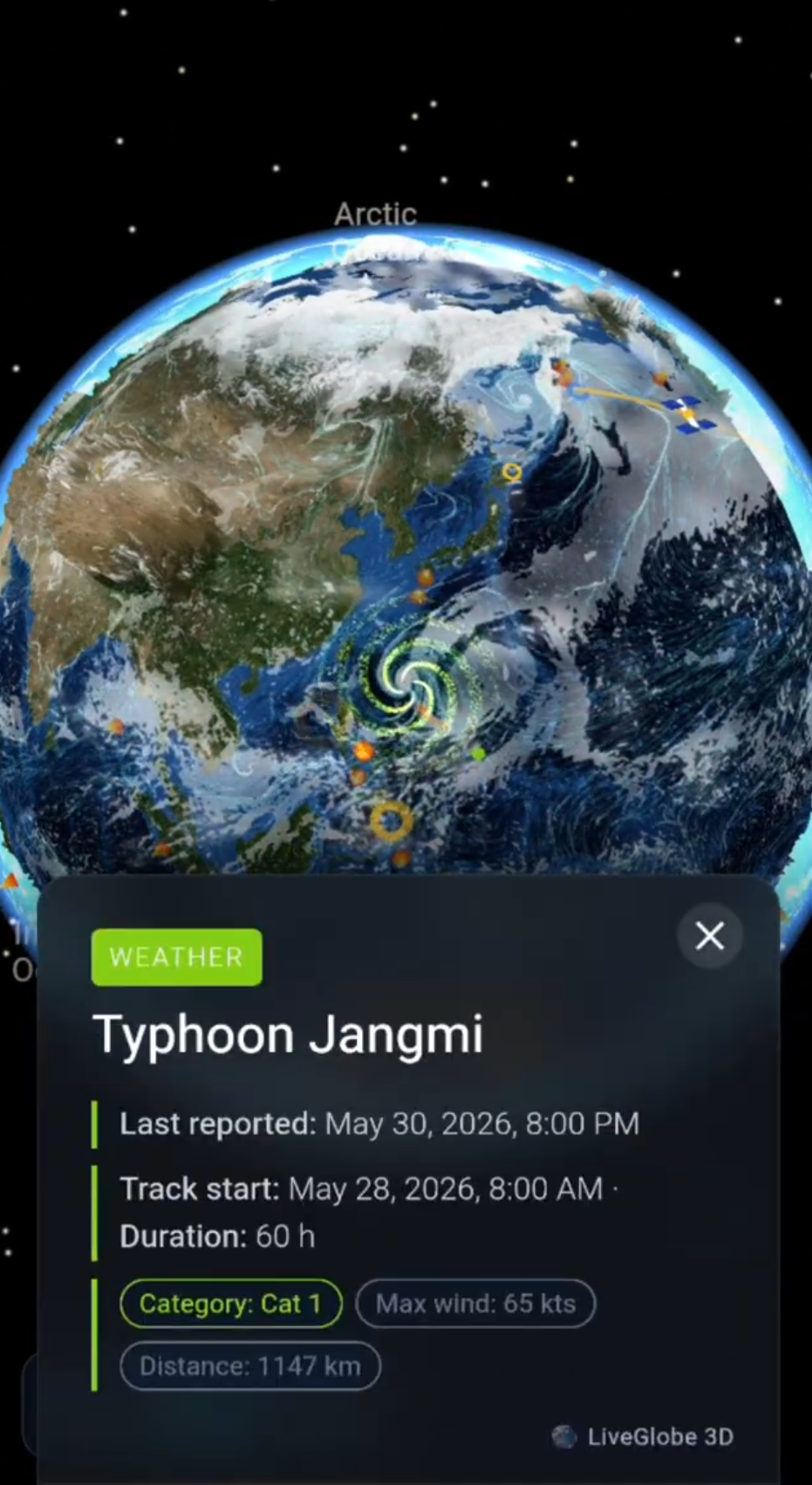
- Turn the globe toward Mexico and use the search icon to find Mexico City.
- Locate Popocatépetl southeast of the city. Compare your result with ESA’s location description.
- Search for Colima next. With shared place names, check whether a result identifies the volcano or initially takes you to the city.
- Compare available volcanic events with the linked scientific source. Read the place, date, and observation type together.
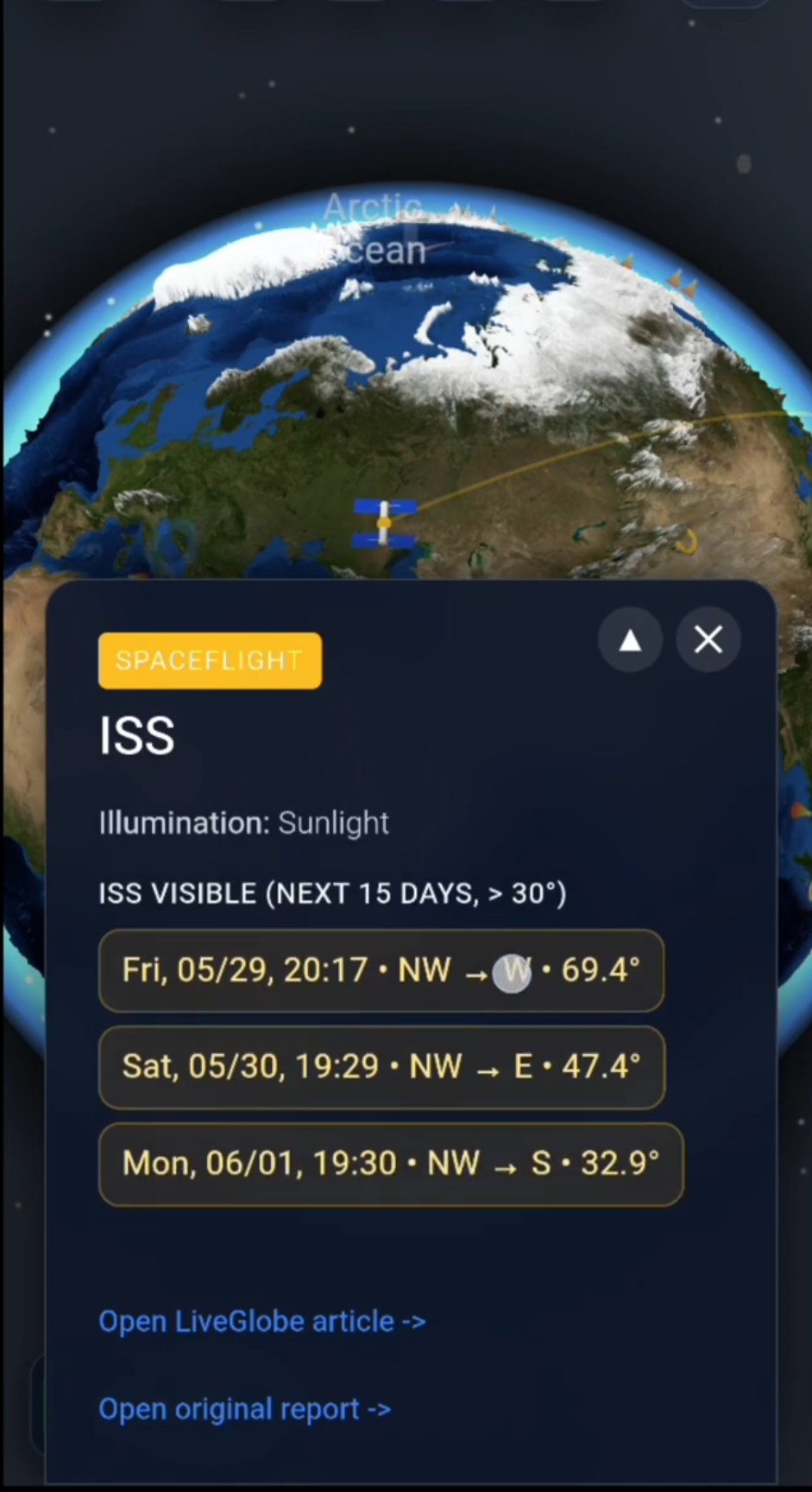
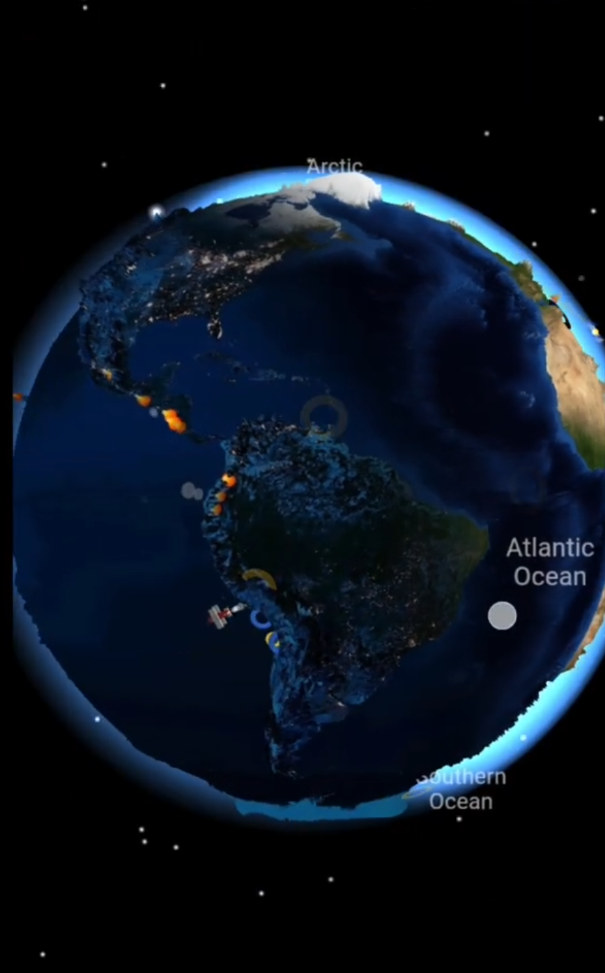
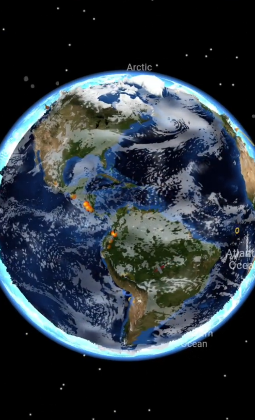
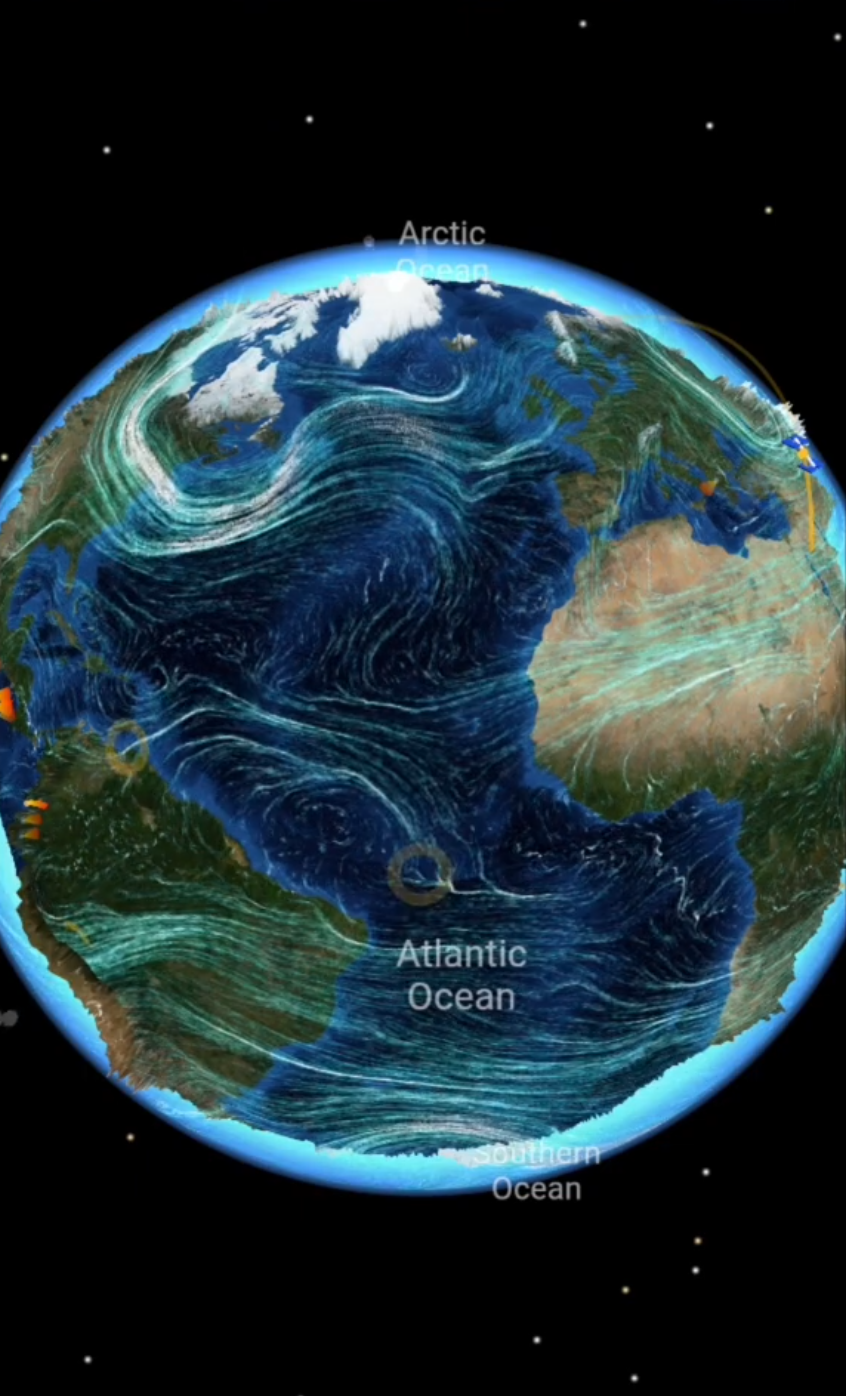
LiveGlobe 3D lets you rotate and zoom the globe and search for places. The web app includes sign-in; search relies on an external service, and the volcano layer depends on available data and Premium access. The separate live volcano page is an entry point for current event reports, but an event feed is not a complete geological inventory.
If a report will inform travel or a stay in the area, also check current information from CENAPRED and local civil protection. For your next map exploration, keep one question in mind: Which volcano, which observation, which date? Explore the available LiveGlobe 3D views with that distinction in place.
Short clips
The app in motion: short, genuine glimpses straight from use.
At a glance
How the app feels on your phone.