How do clouds form—and why do they disappear?
Learn how clouds form through cooling and condensation, why their edges change, and how evaporation turns visible droplets back into invisible vapor.
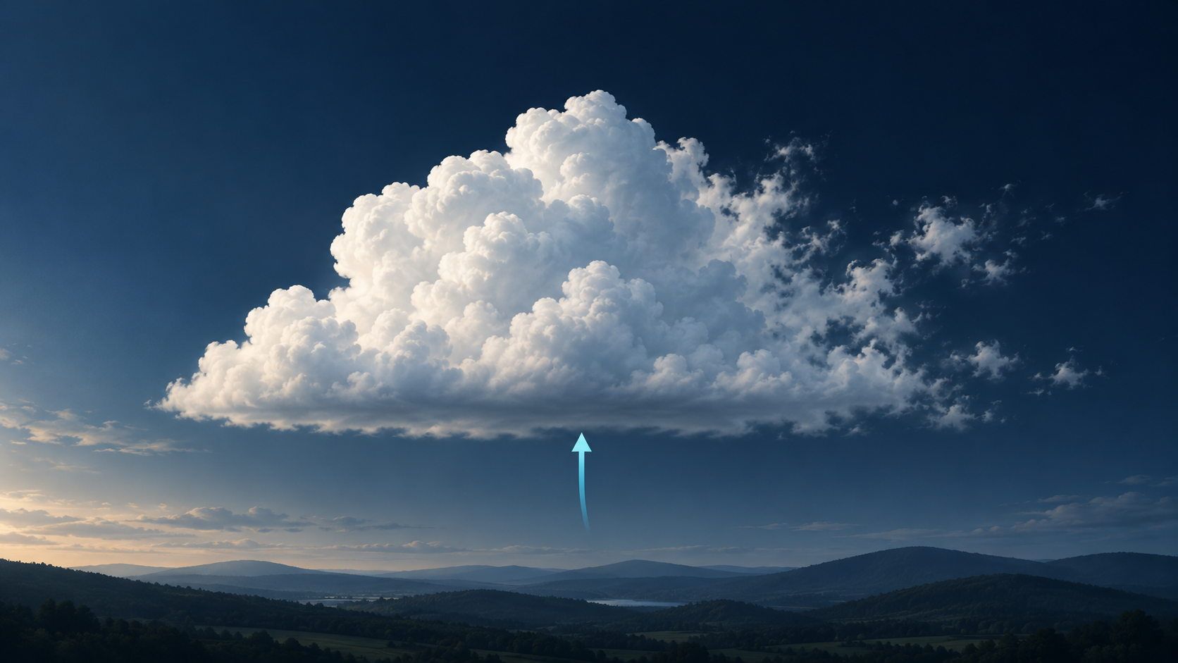
A small white cloud hangs above a hill. A few minutes later, its edge looks ragged, its top has grown, or the whole cloud has vanished. A cloud is not a solid object. Its tiny water droplets and ice crystals are continually forming and changing. Water becomes visible when vapor turns into droplets, then invisible again when those droplets evaporate.
The basic sequence is straightforward: water evaporates, moist air cools, and droplets form. Whether the cloud then grows or fades depends on what happens next to the air, its temperature, and its moisture.
Clouds are not simply visible water vapor
Water vapor is water in its gaseous state, and it is invisible. The white or gray shapes overhead consist of many tiny liquid droplets, ice crystals, or both. That is the distinction made in NOAA’s introduction to clouds.
Water enters the atmosphere through evaporation from oceans, lakes, and other wet surfaces. It does not have to rise from the ground as an already visible cloud. It can travel with the air as invisible vapor first.
| Process or state | What happens to the water? |
|---|---|
| Evaporation | Liquid water becomes gaseous water vapor |
| Water vapor | The water is a gas; you cannot see it |
| Condensation | Water vapor becomes liquid droplets |
| Visible cloud | Many droplets and/or ice crystals make a visible formation |
Ice also plays a role in many clouds. To begin with, we will follow the path from vapor to a liquid droplet.
Why cooling matters
At a lower temperature, the saturation threshold for water vapor is lower. When moist air cools sufficiently, some vapor can condense. The dew point is the temperature at which air would become saturated if its pressure and water vapor content stayed unchanged (NWS: dew point and humidity).
Thinking about temperature and moisture is more useful than imagining air as a sponge that gets “full.” Cold air does not automatically produce clouds: enough water vapor must be present, and the appropriate conditions must be reached.
A common way for air to cool is to rise. Atmospheric pressure decreases with height. A rising parcel of air expands and cools as it does so. When it reaches saturation, cloud droplets can form (NOAA: how clouds form).
That resolves an apparent puzzle: air can be warm enough near the ground to rise, yet form a cloud higher up because it cools on the way.
Three ways air gets lifted
Different processes can start the upward movement. The UCAR Center for Science Education describes examples including:
- Heating at the surface. Sunshine warms the ground, which warms the air above it. If that air is less dense than its surroundings, it can rise and help form individual cumulus clouds.
- Mountains or rising terrain. Wind carries moist air toward higher ground. If the air is forced upward and cools enough, clouds develop.
- A weather front. Where different air masses meet, air can be forced to rise. Depending on the situation, this can produce broad cloud layers or clouds with stronger vertical growth.
These are examples, not guarantees. A sunny field or a mountain is not enough on its own; moisture and atmospheric conditions matter too. Rising is also not the only way air can cool to saturation.
Tiny particles help droplets form
Small particles, including sea salt and dust, are suspended in the atmosphere. Water vapor can condense more readily on suitable particles, known as condensation nuclei (UCAR).
That does not make the cloud a dust cloud: the visible material is mainly water droplets or ice crystals. The particles help with formation, but do not automatically turn any moist air into a cloud. Temperature and moisture still need to be right.
Why a cloud can disappear without losing its water
Drier surrounding air often mixes in at a cloud’s edges. Droplets can then evaporate. Warming can encourage evaporation as well. If more droplet water evaporates than condensation adds, the cloud thins and may dissipate.
The water has not ceased to exist. It is present again as invisible vapor. NOAA’s explanation emphasizes this continuing balance between condensation and evaporation.
Several things therefore change a cloud’s shape at once: air moves it, fresh droplets form in some places, and droplets evaporate elsewhere. A fraying edge is not simply a piece of “cloud cotton” being torn off. The visible shape is being remade continuously.
Why cumulus clouds often have flat bottoms
In many cumulus clouds, rising air under similar conditions reaches saturation at roughly the same height. Visible droplets start forming there. This can produce a relatively flat cloud base, with rounded towers developing above it (NOAA: basic cloud forms).
The base is not a solid ceiling. Its height depends partly on the temperature and moisture of the rising air. Clouds do not all share the same base height, and not every cloud type resembles cumulus.
Follow an imaginary parcel of air
Picture moist air above a sunny meadow. This is a simplified thought experiment, not a report of today’s weather:
- Near the ground: The air contains vapor but is not yet saturated. No cloud is visible.
- As it rises: It expands and cools. At first, the water remains a gas.
- At saturation: Tiny droplets form on suitable particles. Many droplets together become visible as a cloud.
- At the edge: Drier air mixes in, and some droplets evaporate. The edge thins or disappears.
You do not need a fixed height to understand the process. The important question is when that particular air reaches the right conditions, not whether it passes a universal cloud-making altitude.
Watch changes without turning them into a forecast
Choose a small cloud with a distinct edge and look at it again a few minutes later. A short note is enough:
- Describe the shape: separate heaps, thin strands, or a broad layer?
- Separate movement from changing shape: does the whole cloud move, or does one edge mainly grow or fade?
- Compare base and top: does the base look similar while new bulges develop above it?
- Keep uncertainty visible: describe what you can see. Shape alone does not reveal humidity or the full formation process.
For example: “The cloud is moving right; its left edge is thinning while the top grows.” That tells you more than “The cloud broke apart.” A single cloud still cannot reliably tell you whether it will rain at your location later.
Put cloud patterns in geographical context
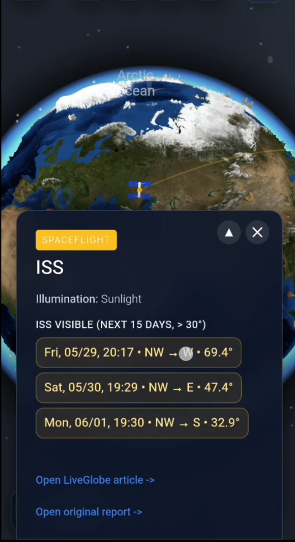
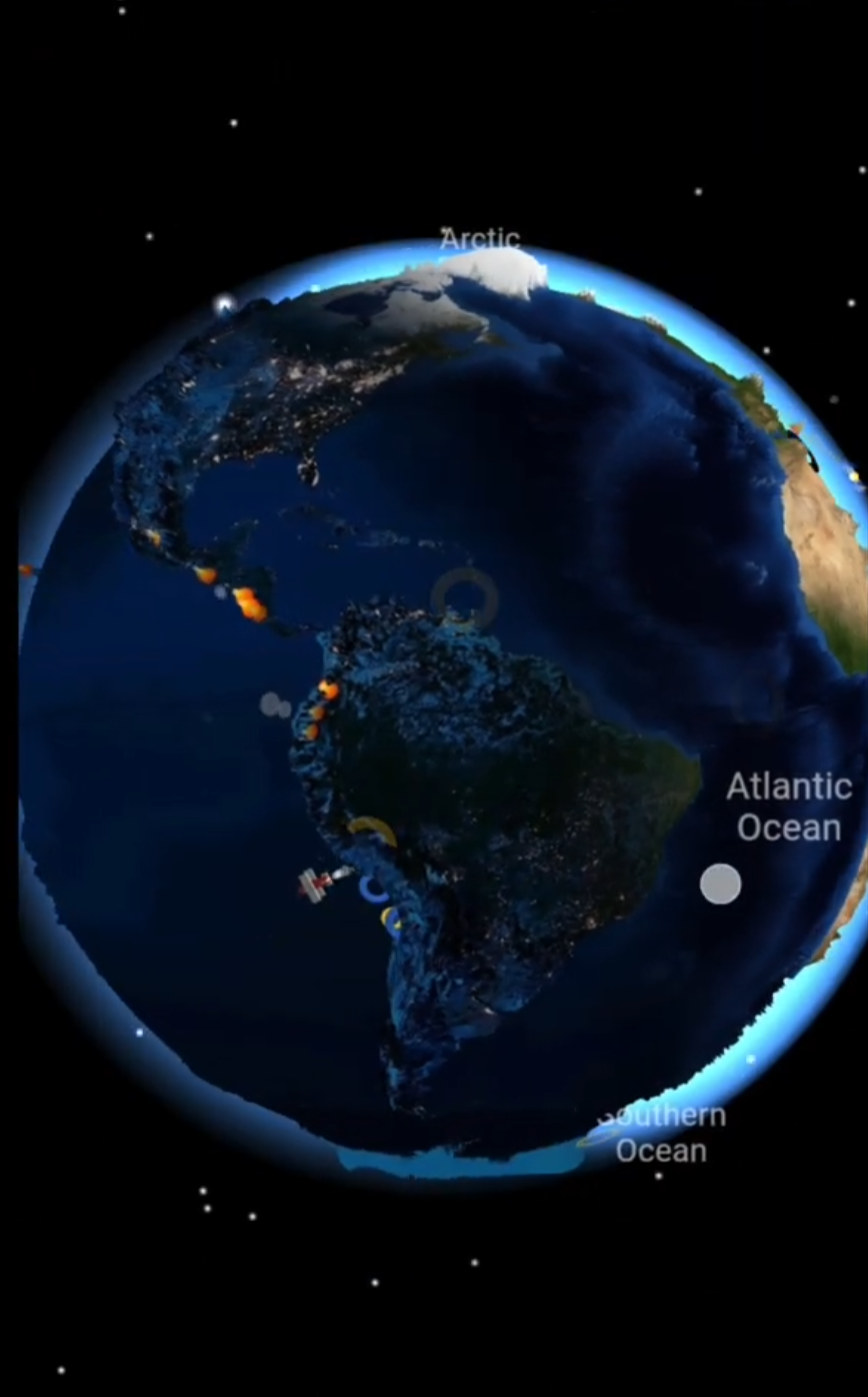
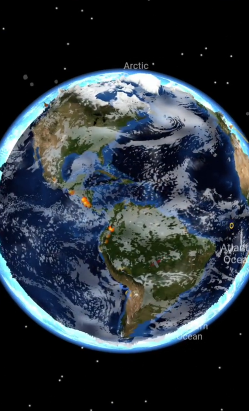
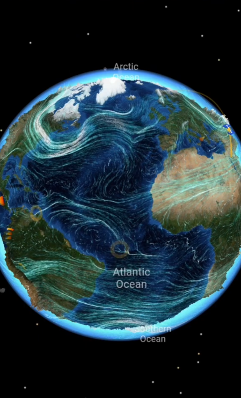
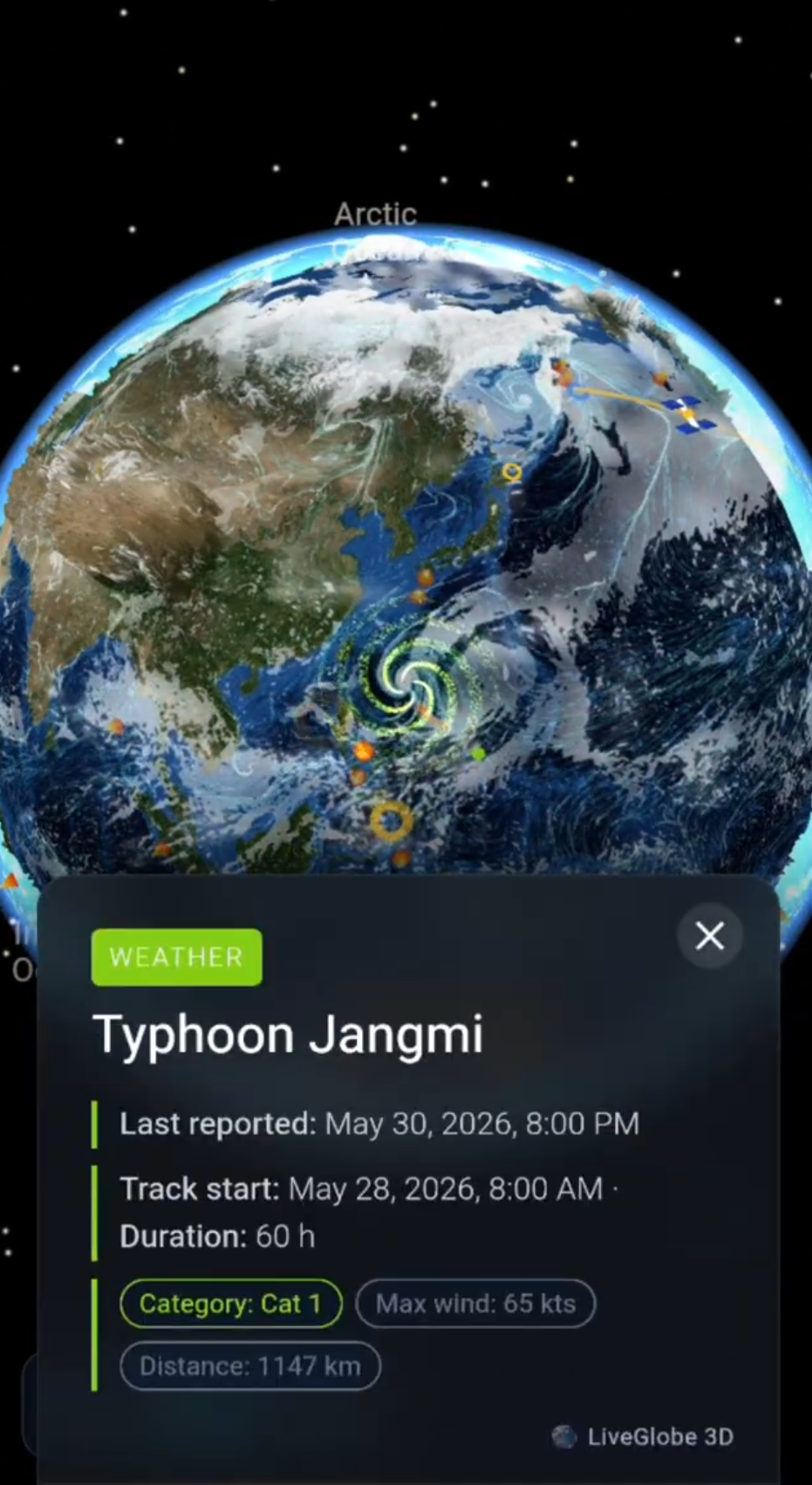
With LiveGlobe 3D, you can rotate and zoom the globe and switch on the cloud view available with your access in the live menu. The web app has a sign-in requirement; the cloud layer depends on premium access and external data.
Compare larger cloud fields with coastlines, continents, and oceans. Looking out of your window provides the local perspective, while the globe provides geographical context. For the distinction between cloud imagery, rain radar, and forecasts, see reading weather maps: clouds, wind, and data times.
Explore the views available in LiveGlobe 3D with one question in mind: Where is a visible pattern forming, and what processes might change it?
Common questions
Are clouds made of gas or water droplets?
The visible formation consists of tiny droplets, ice crystals, or both. Gaseous water vapor is invisible and can also be present in clear air.
Does sunshine make every cloud disappear?
No. Warming can encourage evaporation, but sunshine can also heat the ground and promote rising air and new cloud formation. The outcome depends on the conditions.
Does every cloud produce rain?
No. Visible cloud droplets do not automatically mean precipitation reaches the ground. A cloud view is therefore not a rainfall measurement.
Short clips
The app in motion: short, genuine glimpses straight from use.
At a glance
How the app feels on your phone.