How does fog form—and why doesn't it always clear in the morning?
How does fog form? Understand radiation fog, advection fog and the dew point—and why some fog clears after sunrise while other banks linger.
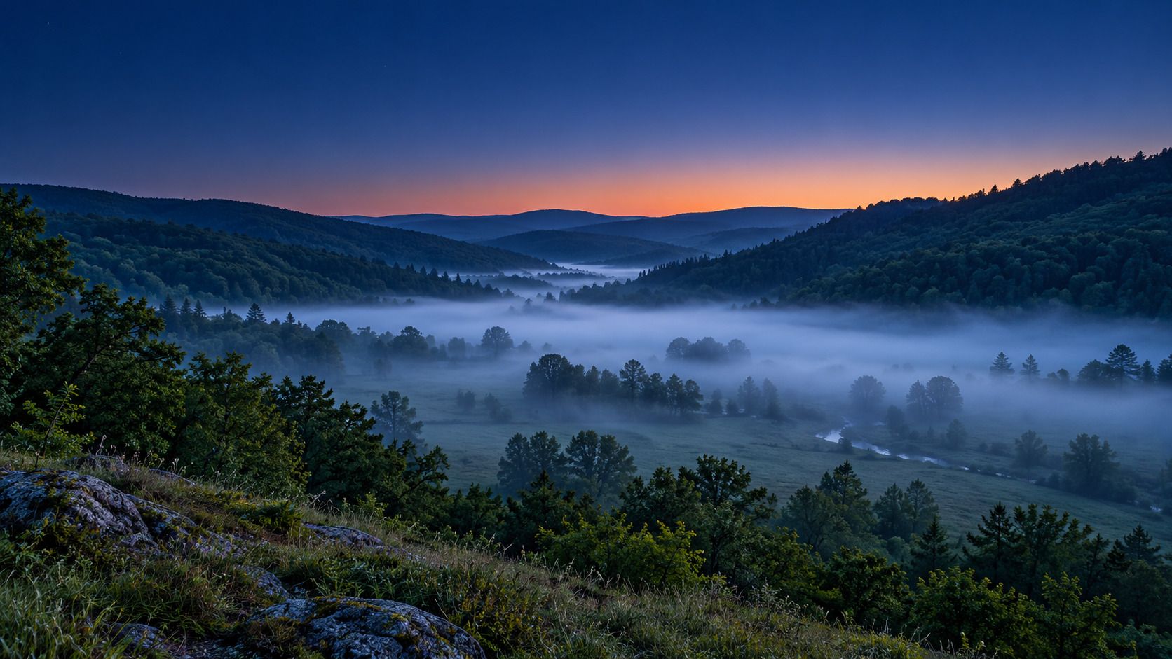
A meadow disappears into white while the hillside above it sits beneath a clear sky. Fog is a cloud at ground level: tiny water droplets hang in the air and reduce visibility. Air doesn’t have to rise high into the atmosphere to produce them. It can cool right above a cold surface.
Two useful examples are radiation fog after a clear night and advection fog when moist air travels over colder ground or water. Understanding the difference also explains why some fog clears in the morning while other patches linger.
Fog isn’t visible water vapor
Water vapor is an invisible gas. What you see is a collection of tiny liquid droplets scattering light. In meteorological usage, fog reduces horizontal visibility to less than 1,000 meters (Met Office).
Mist consists of water droplets too, but visibility remains greater. Haze is different: fine, mostly dry particles reduce the clarity of the air. A pale horizon doesn’t automatically mean fog. Fog and higher clouds share the basic process of droplet formation; fog is in contact with the ground.
Why the dew point matters
The dew point is the temperature to which air would need to cool, at unchanged pressure and water-vapor content, to reach saturation (NOAA/NWS). Sufficient cooling of moist air can allow water vapor to condense into droplets.
Consider an illustrative example: an air temperature of 8 °C and a dew point of 7 °C are close together. Further cooling may bring saturation. That isn’t a complete fog forecast: wind, the supply of moisture, and temperatures right above the surface matter too. Dew on grass is also different from a layer of droplets suspended in the air.
Radiation fog: the ground cools the air
On a clear night, the ground loses energy through thermal radiation. Air next to the cooling surface cools as well. With enough moisture and suitable light air movement, radiation fog can develop.
The sequence matters: cold doesn’t rise from the ground; the surface loses heat and cools adjacent air. A blanket of cloud reduces overnight cooling. Strong wind can mix near-surface air with other layers, while completely still conditions may favor dew instead. “Less wind always means more fog” is too simple.
Cold, denser air can collect in valleys. The landscape then confines a fog bank while higher slopes stay clear. An inversion can help maintain such conditions, but fog alone doesn’t establish a particular temperature profile.
Advection fog: moist air crosses a colder surface
Advection fog develops when relatively warm, moist air moves horizontally across a colder surface and cools from below. Examples include moist marine air crossing cold water or mild air moving over snow-covered ground.
Here, moving air is part of the mechanism. Sea fog can drift inland and occur during daylight. Unlike typical radiation fog, it doesn’t depend on the previous night being clear at that location.
| What you notice | A possible explanation |
|---|---|
| Low fog after a clear night with light winds | Radiational cooling |
| Fog moving inland from a cool sea | Advection and transport |
| Wisps above relatively warm water in cold air | Evaporation and mixing |
These are clues, not a reliable diagnosis from a photograph. The Met Office also describes upslope fog, produced as rising air cools, and evaporation fog: water evaporates into colder air, and mixing can lead to condensation.
Why fog clears—or stays put
If sunlight warms the ground and the air near it sufficiently, droplets can evaporate. Mixing with drier air can thin a fog bank too. The water initially remains in the air as invisible vapor.
Sunrise isn’t a guaranteed clearing time. Weak winter sunshine, a persistently cold surface, or limited mixing can allow fog to last. A valley may remain gray while the hillsides enjoy sunshine. A continuing supply of moist air can also sustain fog formation.
Try a simple observation routine
- Record the time and setting: valley floor, hillside, coast, or near water?
- Consider the sky and movement: was the night clear, or is a fog bank visibly arriving?
- Compare fixed landmarks from the same spot an hour later. Are they becoming easier to see?
- Keep observation separate from interpretation. “The hill is clear but the meadow is hidden” is firmer evidence than “This must be radiation fog.”
For current local conditions, also consult your weather service’s forecast and visibility reports. A broad cloud map doesn’t automatically tell you the visibility outside your window.
Put the landscape in context
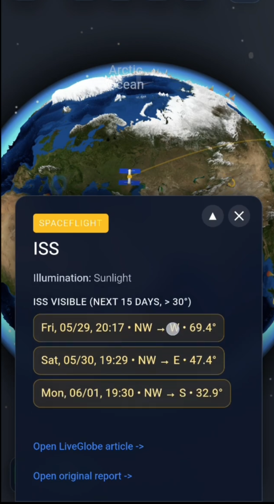
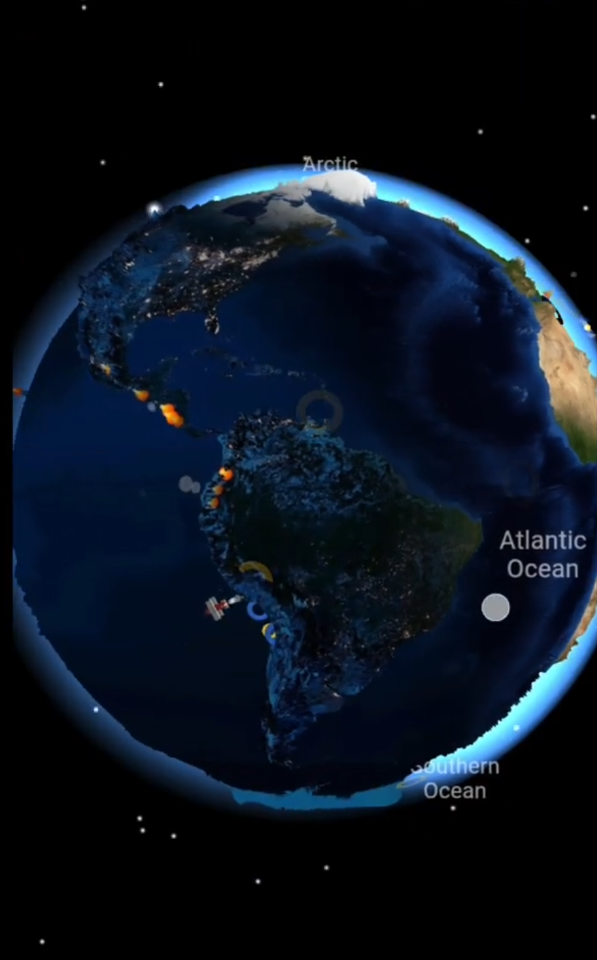
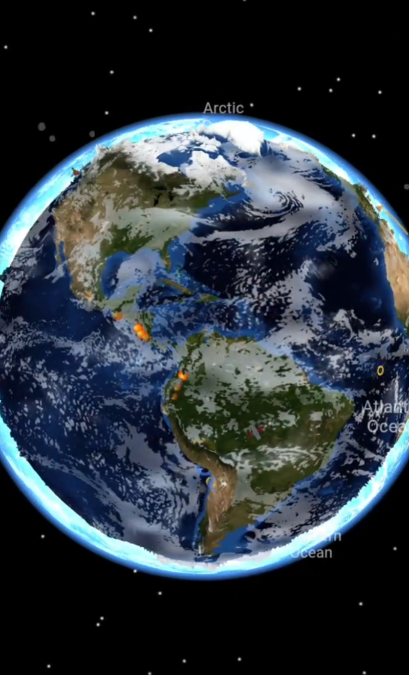
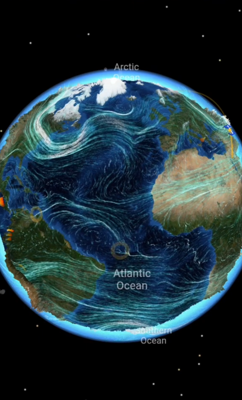
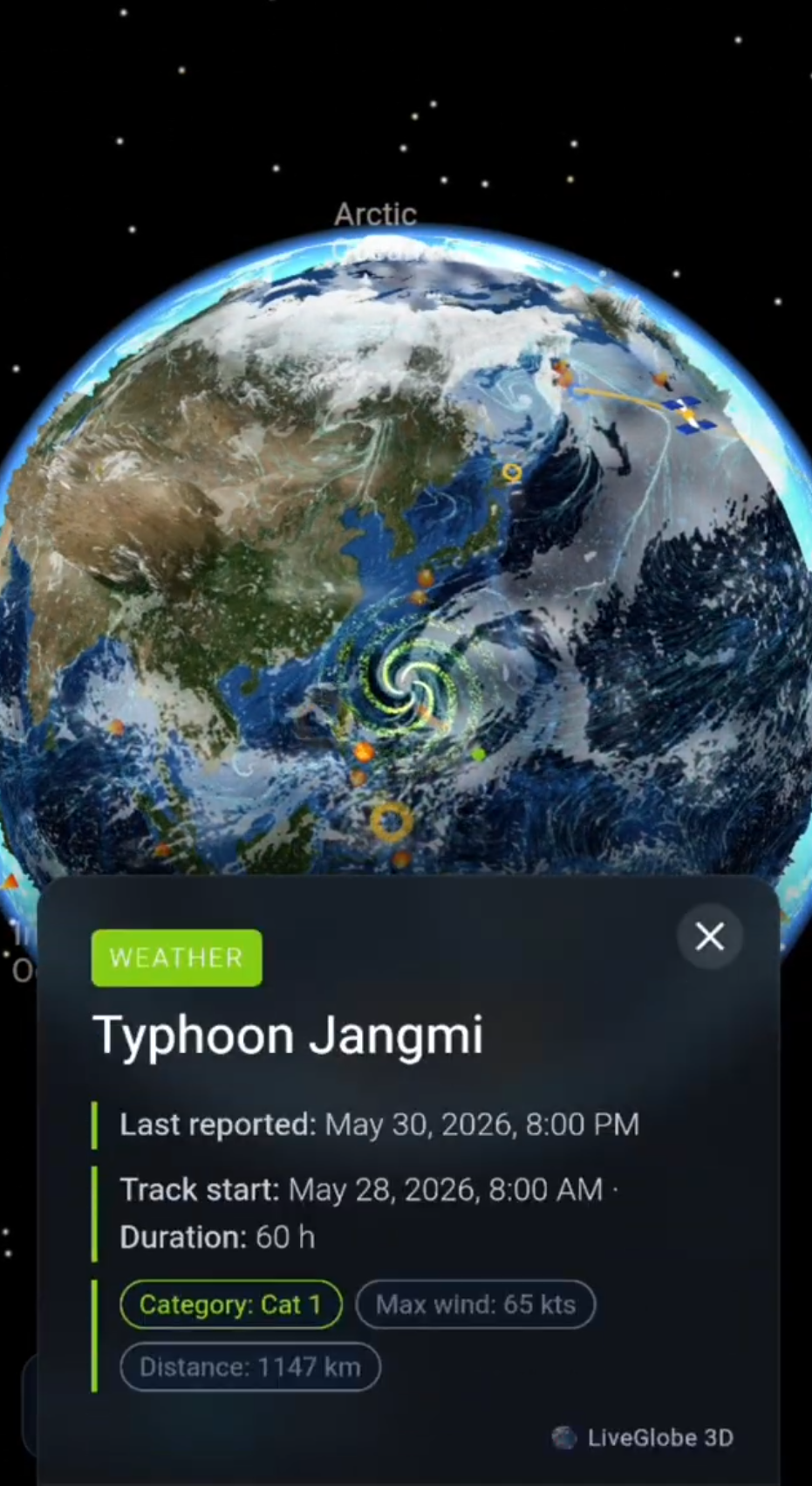
In LiveGlobe 3D, you can rotate and zoom the globe, examine relief, and use the magnifying-glass search with at least two characters to find a place. Search depends on external services and a network connection. Use the view to relate valleys, coasts, and mountains; the actual fog observation still comes from your location.
For the shared process behind fog and higher clouds, explore how clouds form and disappear. Then locate a familiar landscape on the globe: Could its shape help explain why fog fills the low ground while the slopes remain clear?
Short clips
The app in motion: short, genuine glimpses straight from use.
At a glance
How the app feels on your phone.