Why do flight paths look curved on maps?
Understand curved flight paths, great circles and Mercator maps with a distance example, a string experiment and the difference between shortest and fastest.
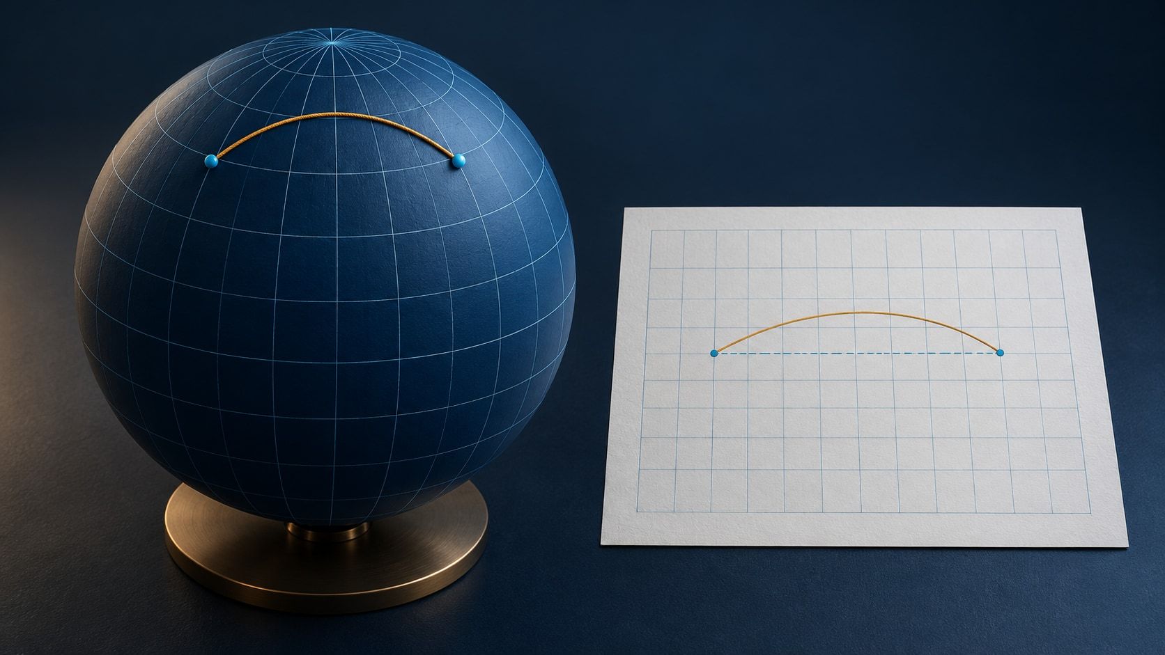
A line between two airports can look like a detour toward the north on a world map. On a globe, that same arc may be the shortest route. A straight line on a flat map is not necessarily the shortest path along Earth’s surface. The explanation lies in the shape of Earth and the map projection.
The shortest path on a sphere follows a great circle
Imagine slicing a sphere with a plane that passes through its center. The intersection is a great circle. The equator is one; a meridian together with its opposite meridian also forms one. Other circles of latitude are smaller and do not lie in a plane through the center.
The shorter great-circle arc between two points gives the shortest surface path. MathWorld explains the geometry. This means traveling on the sphere, not taking a straight tunnel through it. Exactly opposite points have multiple equally short great-circle routes.
Earth is slightly flattened rather than perfectly spherical. Precise calculations use an ellipsoid and its geodesics. A sphere is enough to explain the apparent map detour.
Why does the map turn it into a curve?
A projection transfers a curved surface onto a flat plane. It cannot preserve every distance, area and angle at once.
On a classical Mercator map, a straight line crosses meridians at a constant angle. This is a rhumb line, or a route with a constant true bearing. Constant bearing and minimum distance are different properties, as Esri’s Mercator documentation explains.
A great-circle arc usually appears curved on that map. The equator and meridians are important exceptions. Nor does every flat map show the same curve: a gnomonic projection shows great circles as straight lines. A curved line tells you something about the representation before it tells you anything about a detour.
A numerical example, not an airline itinerary
Take two imaginary points at 50° north, separated by 60° of longitude. On a model sphere with a radius of 6,371 kilometers:
| Path | Approximate distance |
|---|---|
| Following latitude 50° N east or west | 4,290 km |
| Shorter great-circle arc between the same points | 4,170 km |
The great-circle path bows northward between these points yet is about 120 kilometers shorter. On a Mercator map, following the parallel looks straight, while the shorter route looks curved. These are model calculations, not recorded flight distances or promised airline savings.
Is the shortest route also the fastest flight?
Not necessarily. Aircraft move through air that is itself moving relative to the ground. A tailwind increases ground speed; a headwind reduces it. A longer route with favorable winds can therefore take less time than a shorter route into a strong headwind.
NOAA describes jet streams as shifting bands of strong upper-level winds, generally blowing west to east. This does not give every eastbound flight a fixed advantage: the wind pattern and actual track matter. A geometric great circle is a baseline, not a complete flight plan.
Try the comparison on a globe
With a physical globe and a piece of string:
- Choose two widely separated places at roughly the same northern latitude.
- Stretch the string against the surface between them, letting it slide sideways into its shortest position.
- Compare it with the latitude circle. The string can run farther north while covering less distance.
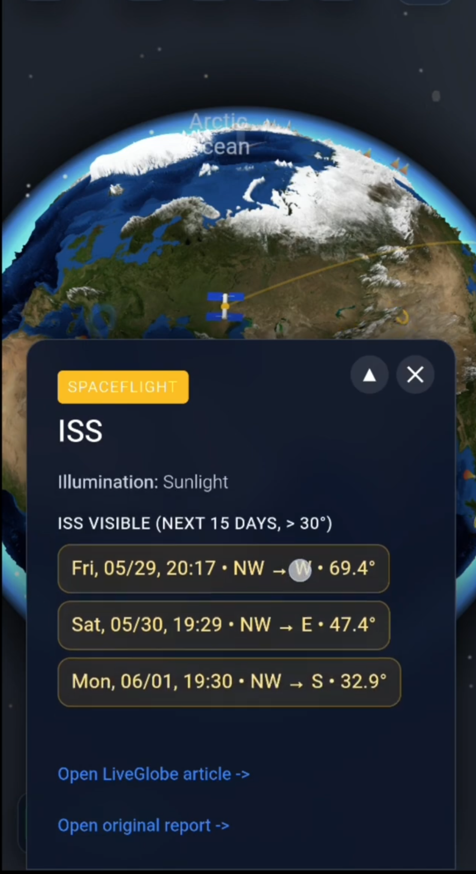
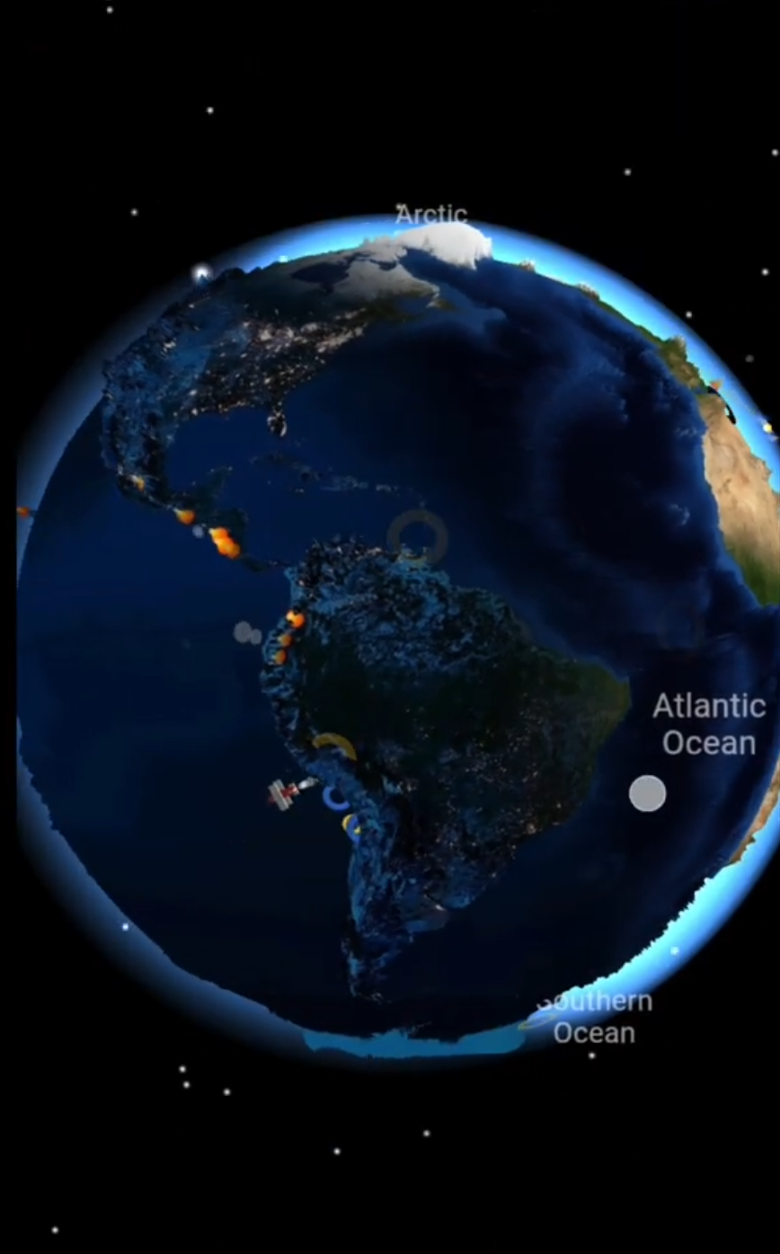
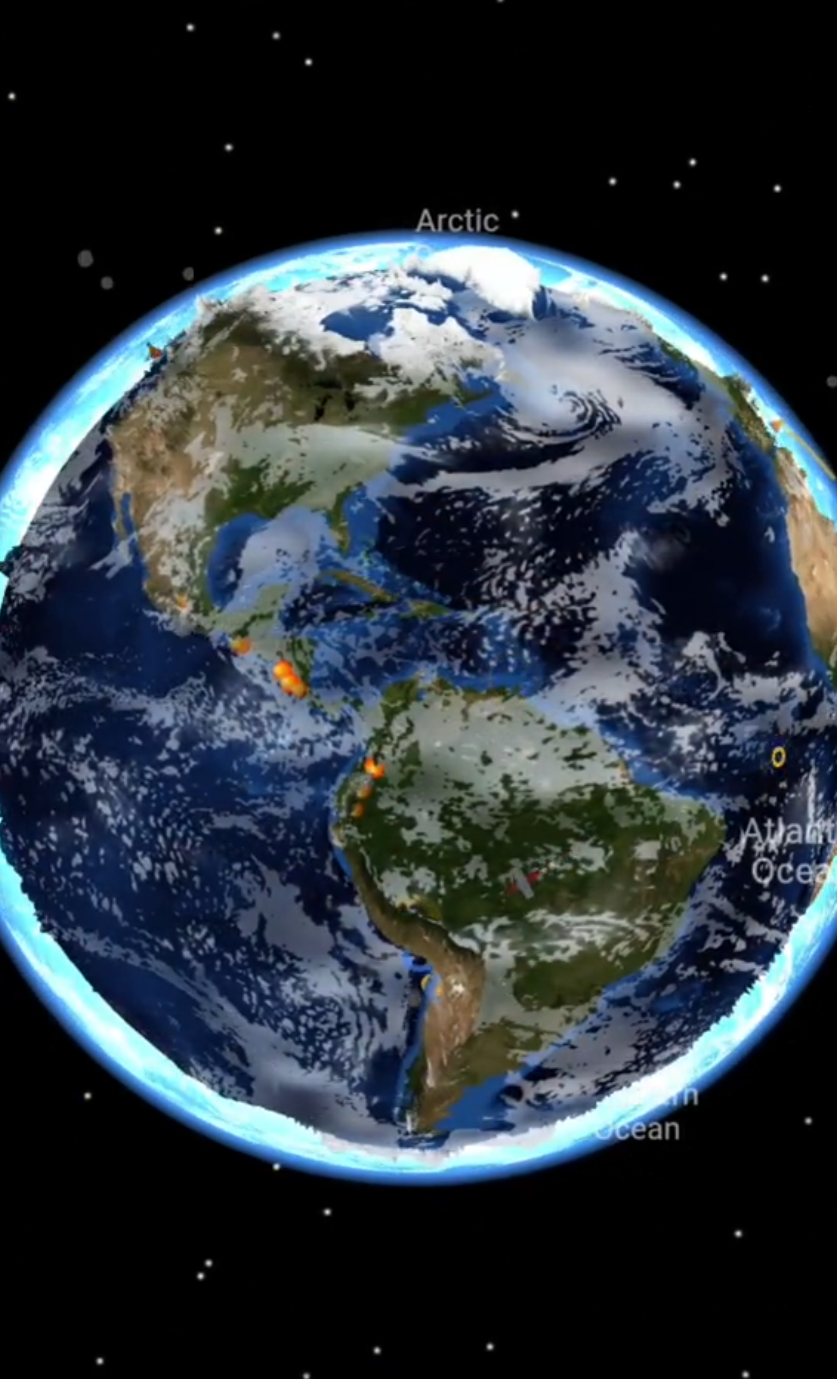
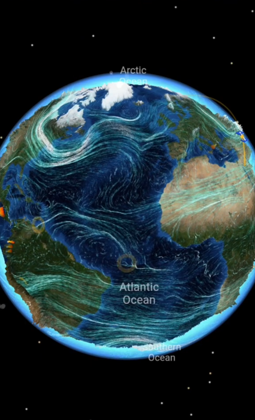
In LiveGlobe 3D, you can rotate and zoom the globe and search for places; the web app is configured to require sign-in. Try London and Vancouver, then turn the Northern Hemisphere toward you. Use the view to explore where the places sit and what lies between them. The place-search guide explains that starting point. The string experiment is a separate hands-on activity.
Next time you see a flight map, check the projection before judging the curve. Explore two locations on the globe and compare their arrangement with a flat map.
Short clips
The app in motion: short, genuine glimpses straight from use.
At a glance
How the app feels on your phone.