Understanding wind direction: Why a westerly wind blows east
A westerly wind comes from the west. Understand compass degrees, flow arrows, wind barbs, and weather vanes with examples and a five-step map-reading routine.
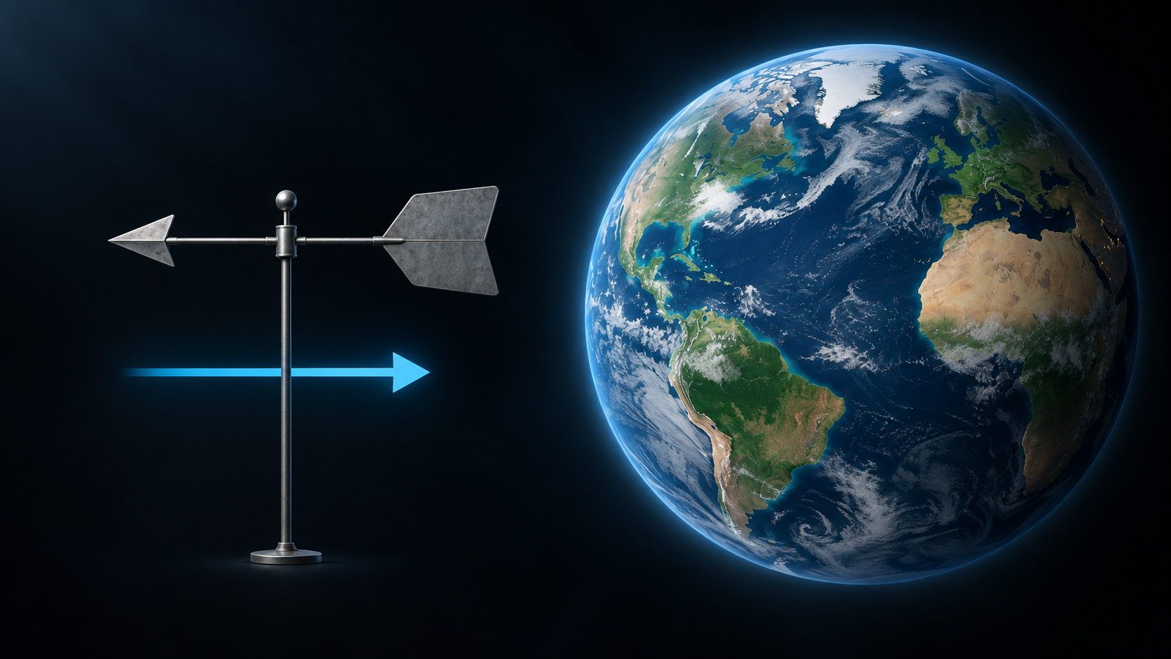
A weather-map arrow points to the right, but the forecast calls it a westerly wind. Can both be correct? Yes. A westerly wind comes from the west and blows toward the east. Meteorological wind direction describes where the air comes from, not where it is going.
That distinction makes wind names and degree readings straightforward. Map symbols add another question: does this symbol show the wind’s origin, or the air’s direction of travel?
Winds are named for where they come from
Imagine a street running east–west. Air moves along it from the western end to the eastern end. You feel the wind coming from the west: it is a westerly wind. If you face west, you face into the approaching air.
The same rule applies to every compass direction. The National Weather Service uses a west wind to explain this convention.
| Wind name | Air comes from … | Air travels toward … |
|---|---|---|
| Northerly | North | South |
| Easterly | East | West |
| Southerly | South | North |
| Westerly | West | East |
Intermediate directions work the same way: a southwesterly wind comes from the southwest and blows toward the northeast. The name describes the local direction, not an unbroken straight-line journey across a continent.
Remember it this way: the wind’s name tells you which side the air approaches from. The free end of a flag streaming in the wind points the other way, downstream.
What do 90°, 180°, and 270° mean?
A compass rose expresses directions as angles. Start at north and count clockwise through east, south, and west, back to north.
| Direction the wind comes from | Position on the compass rose |
|---|---|
| North | 0° or 360° as a circle position |
| East | 90° |
| South | 180° |
| West | 270° |
| Southwest | 225° |
These positions appear in the Windfinder direction table. A wind reading of 270° means air from the west; 225° means air from the southwest. The angle is not a wind-speed reading.
Check the coding used by your data source. The NWS wind-direction glossary gives north as 360° and reserves 0° for calm conditions. A geometric compass rose and a weather-report code are not necessarily identical. Do not interpret an isolated zero as a northerly wind without context.
Flow arrows, wind barbs, and weather vanes
A flow arrow shows where the air is going
If the legend defines an arrow as the direction of airflow, its tip points downstream. On a north-up map, an arrow pointing right then shows air moving east: a westerly wind.
The legend matters. Weather apps do not all use the same symbol convention. Rotating a map also changes where east appears on screen. Establish both the map orientation and the symbol meaning before turning “right” into a compass direction.
A wind barb shows origin and speed
Weather station plots often contain a circle with a long shaft and short strokes along it. For a wind barb, the shaft extends from the station circle toward the direction the wind comes from. A shaft extending west indicates a westerly wind.
The smaller strokes encode speed. In the NOAA station-plot guide, a full barb represents 10 knots and a half barb 5 knots. Two full barbs mean 20 knots. Unlike a simple flow arrow, this symbol uses the shaft for origin and the barbs for speed.
A weather vane points into the wind
A conventional arrow-shaped weather vane has a tip pointing toward the approaching air. Its larger tail is pushed downwind. In a westerly wind, the tip points west, while the free end of a streaming flag points east.
The apparent contradiction disappears when you ask: is this an origin indicator or a movement indicator?
Read a wind map in five steps
- Check orientation. Is north at the top, or has the map been rotated?
- Identify the symbol. Does the legend describe origin, airflow, or a wind barb?
- Say the origin aloud. Complete “The wind comes from …” before naming it.
- Read speed separately. Check units and the legend; colors, numbers, and barbs may convey different information.
- Compare time and height. Establish when and at what height the data applies, and whether it is an observation or a forecast. Upper-level wind need not have the same direction as surface wind.
This helps you avoid treating different layers or times as the same wind situation just because their colors look similar.
Two examples to try
Example 1 — an invented forecast: “Wind 270°, 20 km/h.” The air comes from the west and moves east. The angle describes origin; 20 km/h describes speed.
Example 2 — a schematic map: North is up and the legend says arrows show airflow. An arrow points up and right, toward the northeast. The wind comes from the opposite direction: it is southwesterly. If a wind-barb shaft instead extended northeast from a station circle, it would indicate a northeasterly wind.
These are practice examples, not current observations. Understand the symbol first, then name the wind.
Explore wind in geographical context with LiveGlobe 3D
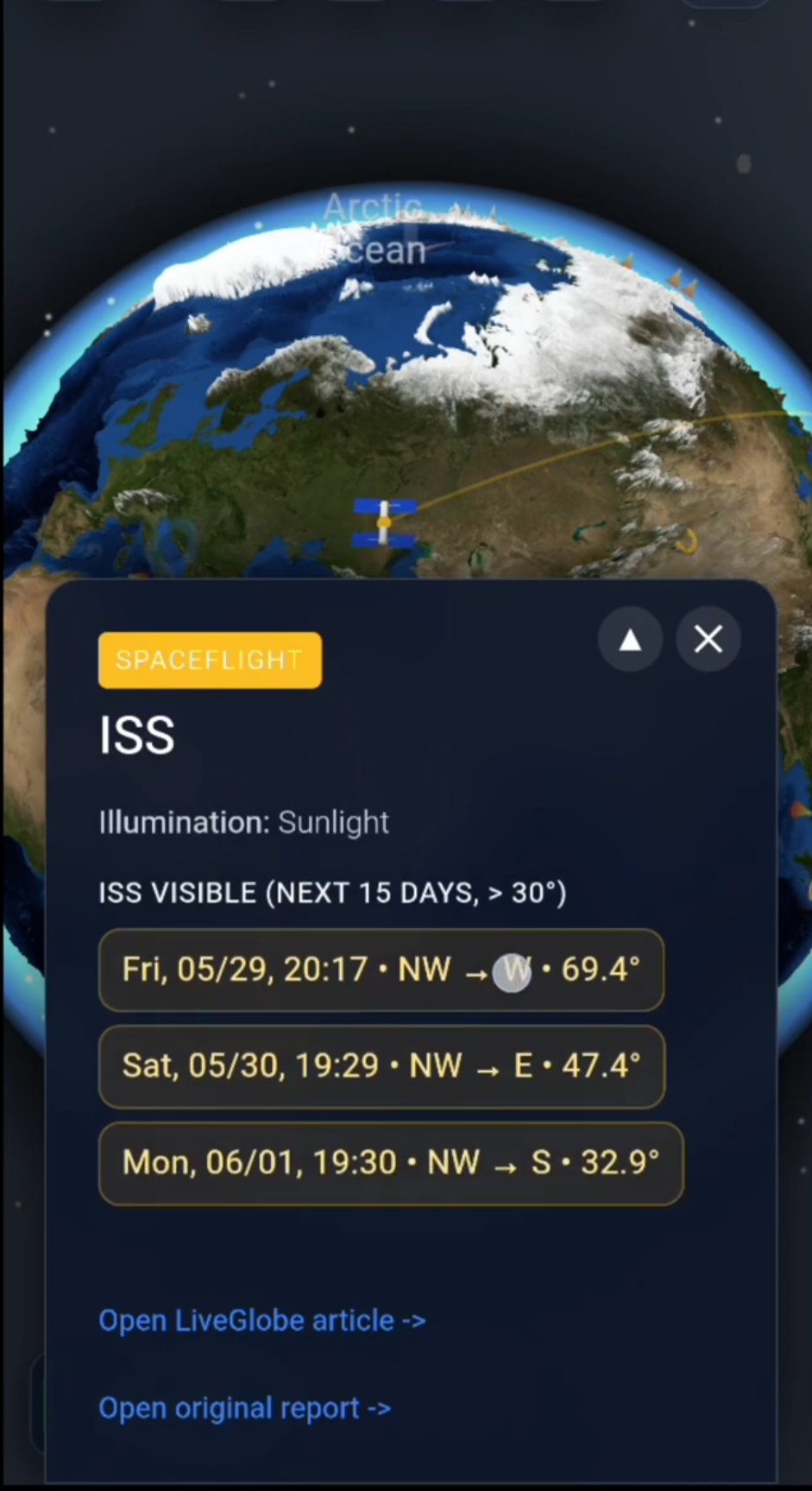
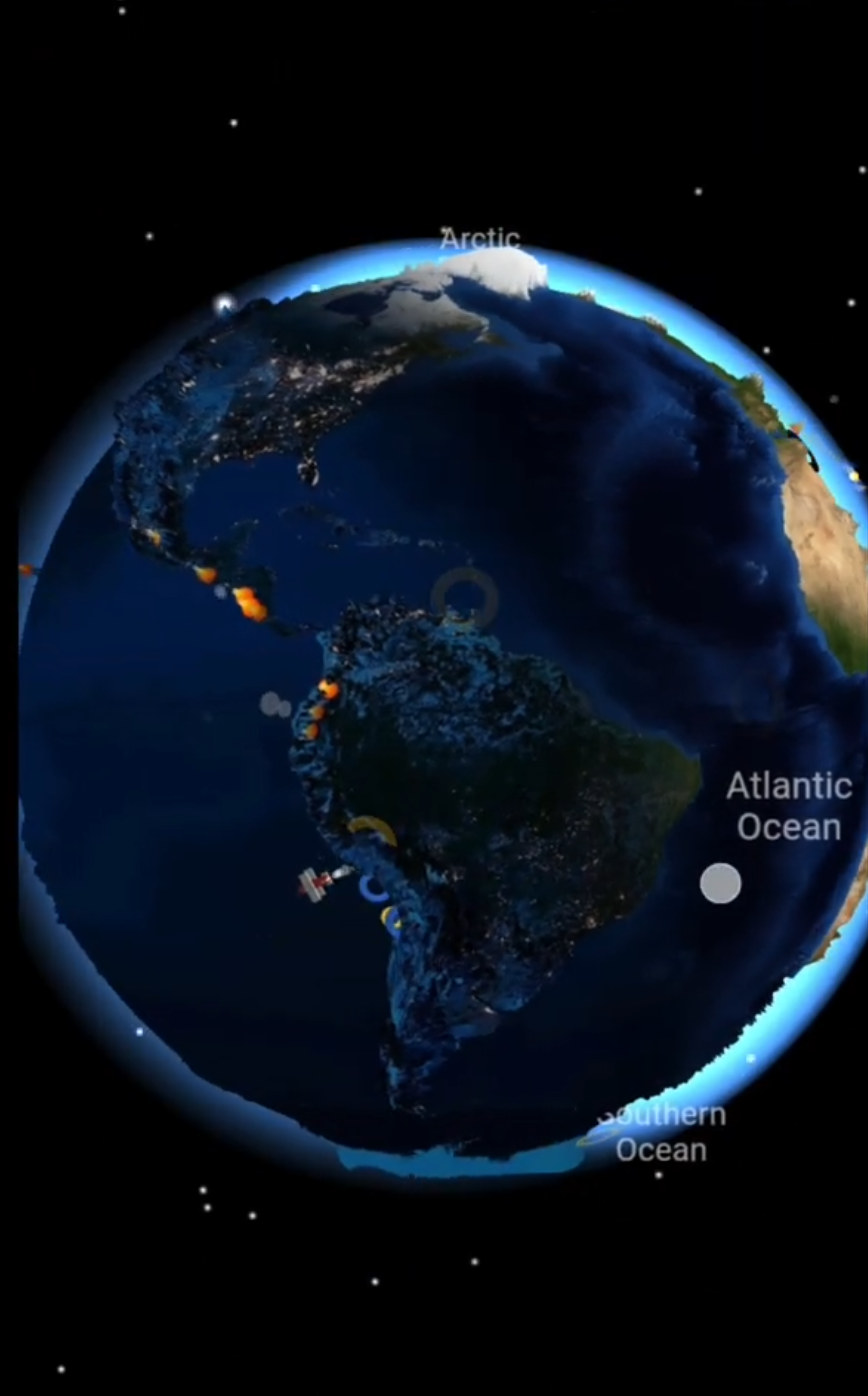
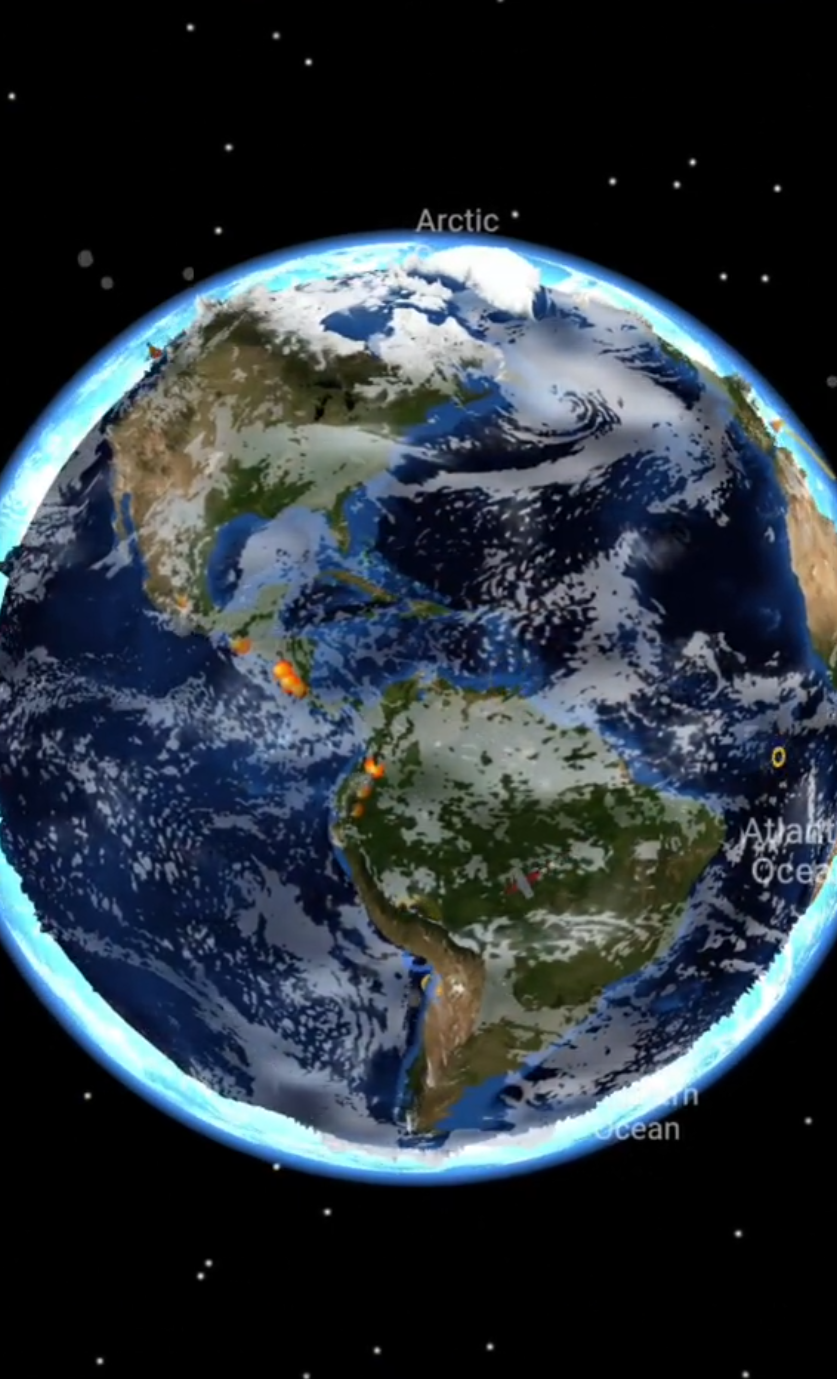
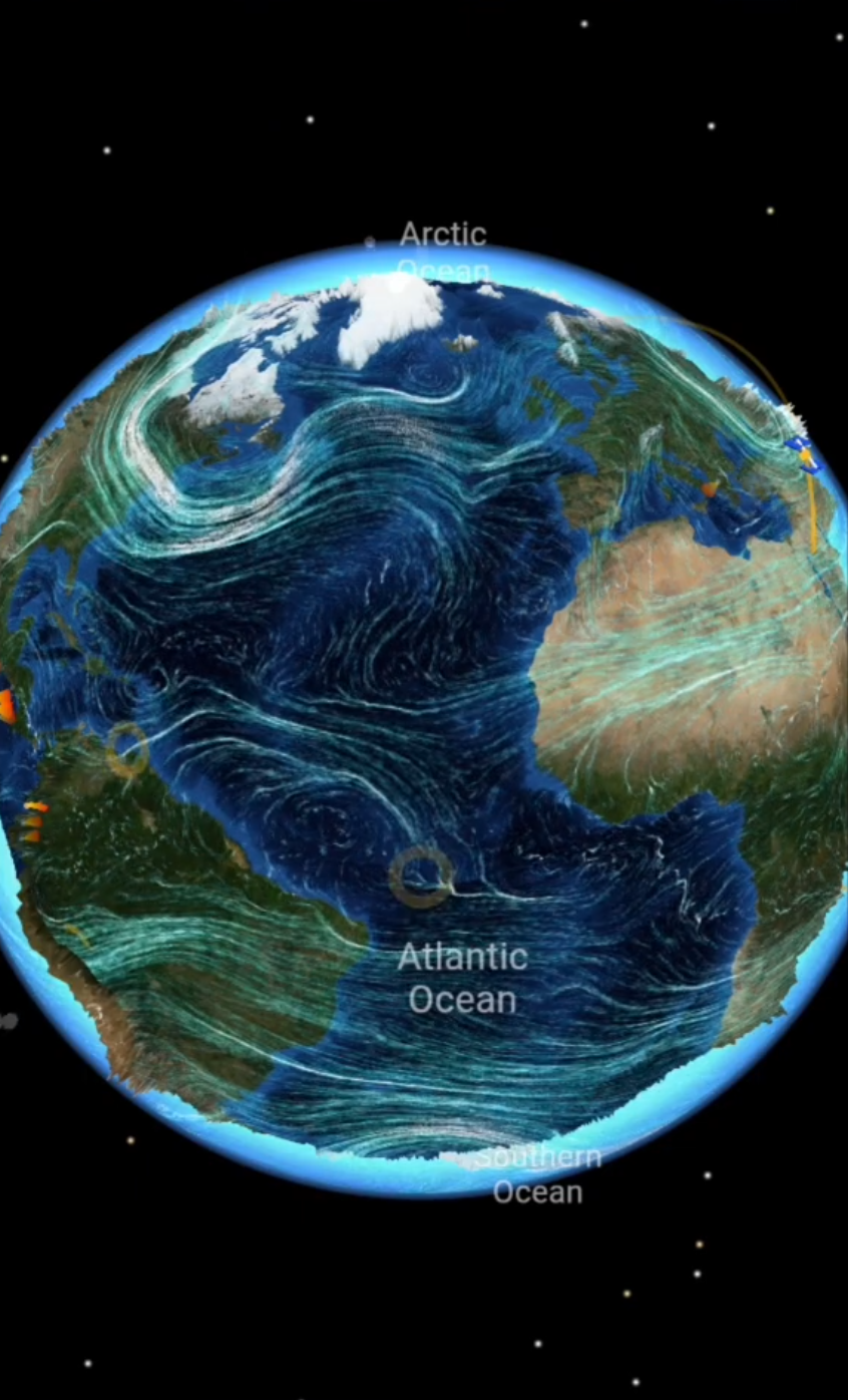
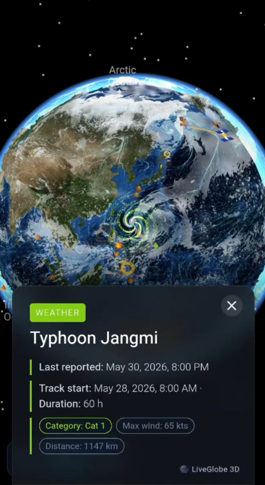
In LiveGlobe 3D, you can rotate and zoom the globe and enable available surface- or upper-level wind views in the live menu. The web app is configured for sign-in; wind layers depend on premium access and external data.
Start with one view and one region. Relate the visible patterns to coastlines and continents, and compare them with a weather source whose legend, time, and data height you can establish. Then switch layers, keeping their different heights in mind. Look up the symbol convention at the source rather than assuming it.
For more on weather attached to individual places, see Weather Forecast on a 3D Globe. The basic rule for direction stays simple: westerly means “from the west,” even when the air travels east.
Explore LiveGlobe 3D and the views available to you, and try the reading routine on a region you know.
Short clips
The app in motion: short, genuine glimpses straight from use.
At a glance
How the app feels on your phone.