Why is it colder in the mountains—and when can the opposite happen?
Why are mountains colder if warm air rises? Understand expanding air, parcel cooling versus the temperature profile, and inversions with a worked example.
A T-shirt feels fine in the valley, yet you need a jacket higher up. But doesn’t warm air rise? Rising air does not stay at its original temperature: as the surrounding pressure falls, it expands and cools. Alongside the heating of the lower atmosphere by Earth’s surface, this helps explain why temperature usually decreases with height in the troposphere.
Usually matters. A temperature inversion can reverse the pattern within a layer. And the cooling of one rising parcel of air is different from the measured temperature difference between a valley and a summit.
Much of the lower atmosphere’s heat comes from the surface
Sunlight warms Earth’s surface. The surface exchanges energy with the air through thermal radiation, direct contact close to the ground, and air movement. Convection carries heat upward. NOAA’s explanation of heat transfer introduces radiation, conduction, and convection.
Air is therefore not simply heated from the top down like an object under a heat lamp. In the troposphere, the lowest atmospheric layer and the home of almost all weather, the typical temperature profile gets colder upward. Temperature can rise again in other atmospheric layers, as NOAA’s guide to the atmosphere shows.
A summit may be a little closer to the Sun than the valley below. That tiny difference in solar distance does not explain the temperature contrast.
What happens to an air parcel as it rises?
Imagine lifting a small, conceptual parcel of air:
- The surrounding pressure decreases with height.
- The parcel expands as it adjusts to the lower pressure.
- Expansion does work on its surroundings. Without compensating heat input, the parcel’s internal energy decreases and its temperature falls.
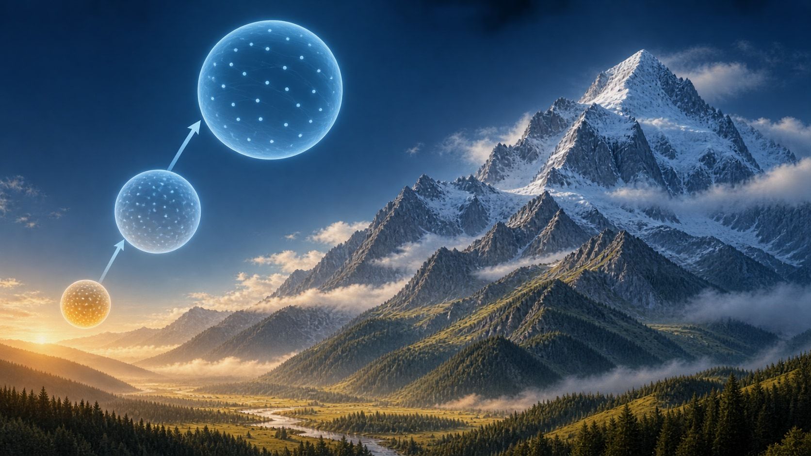
A temperature change without heat exchange is called adiabatic. The circles on the cover symbolize increasing air volume; they are not real balloons or measurements drawn to scale.
Warm air can therefore rise while becoming colder. Whether it keeps rising depends on whether it remains warmer and less dense than its surroundings at the same height. “Warm air rises” does not mean warm air accumulates unchanged at the top of the atmosphere.
A rising parcel and its surroundings are different things
| Question | What are you comparing? |
|---|---|
| How does a moving parcel change? | The same air parcel before and after it rises |
| What is the atmosphere’s temperature profile now? | The air actually present at different heights |
For unsaturated air, NOAA’s parcel model gives an adiabatic cooling rate of about 9.8°C per 1,000 meters. If the parcel reaches saturation and water vapor condenses, condensation releases heat. It then cools more slowly as it rises; that rate is not a single universal value.
Here is a model calculation: a parcel starts at 20°C and rises 1,000 meters. If it stays unsaturated and exchanges no heat, its new temperature is 20 − 9.8 = 10.2°C. This is not a summit forecast. Two weather stations are not observing the same isolated parcel, and their readings also reflect the ground, wind, moisture, and weather pattern.
For the condensation process, see how clouds form. For the effect of rising and sinking air on mountain rainfall, read the rain shadow guide.
The exception: a temperature inversion
A temperature inversion is a layer in which temperature increases with height. Cooler air can remain close to the ground beneath warmer air. A cold, foggy valley can therefore sit below a hillside with milder air.
The Met Office explains how sinking air in high-pressure systems can warm and form a lid above cooler surface air. Inversions are common in winter but can occur throughout the year. Fog alone does not prove an inversion, and temperature can decrease again above the inverted layer.
How to compare a valley and a mountain
Choose two nearby stations at different elevations—hypothetically, 500 and 1,500 meters. Compare readings for the same time, check the station elevations, and use air temperatures measured at comparable heights above the local ground. A sunlit rock’s surface temperature is a different measurement.
First record the actual difference: is the higher station colder? Then consider cloud cover, wind, and the regional weather pattern. Use a mountain forecast for a trip rather than turning a fixed cooling rate into a local prediction.
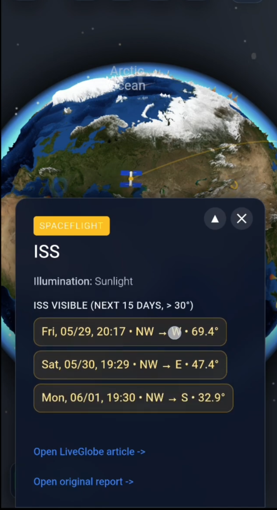
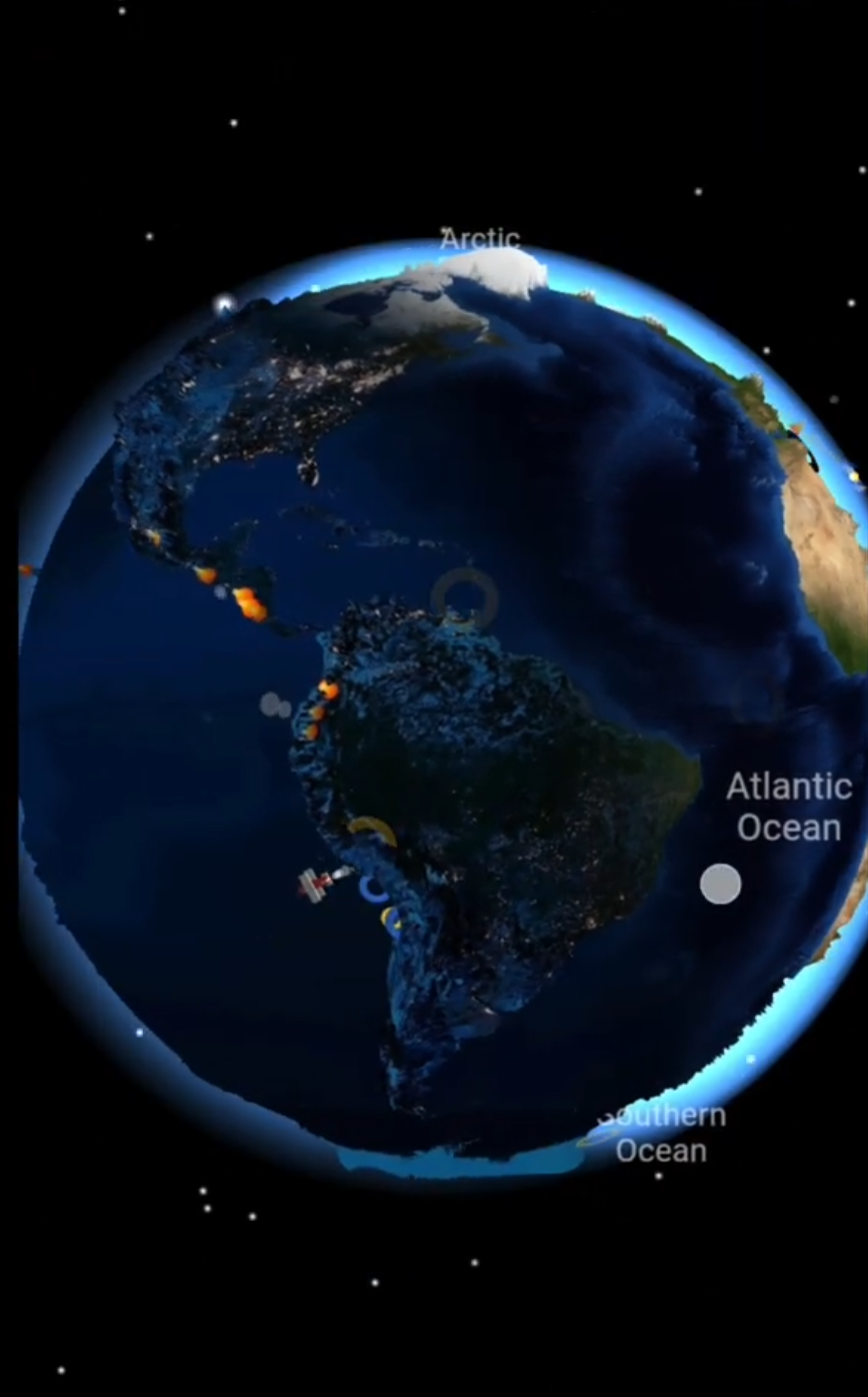
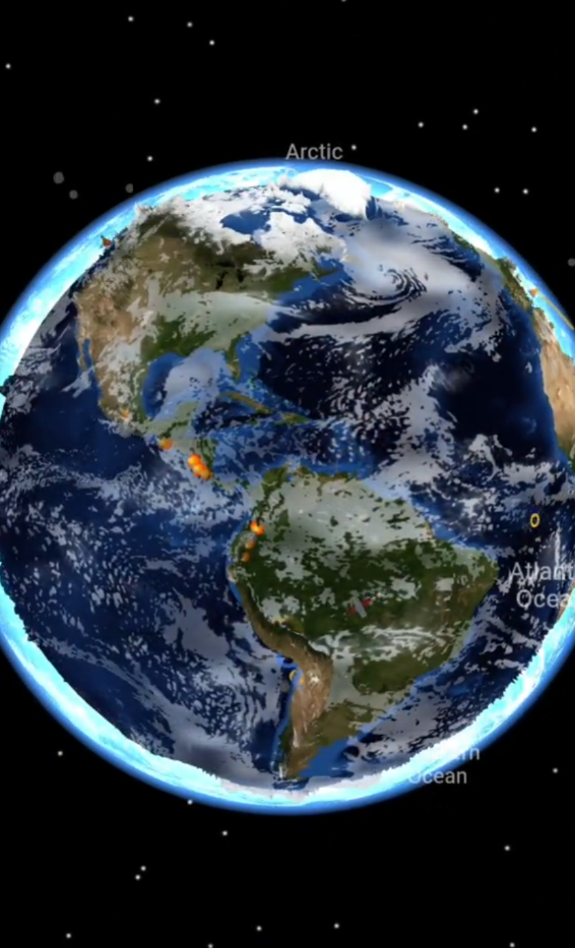
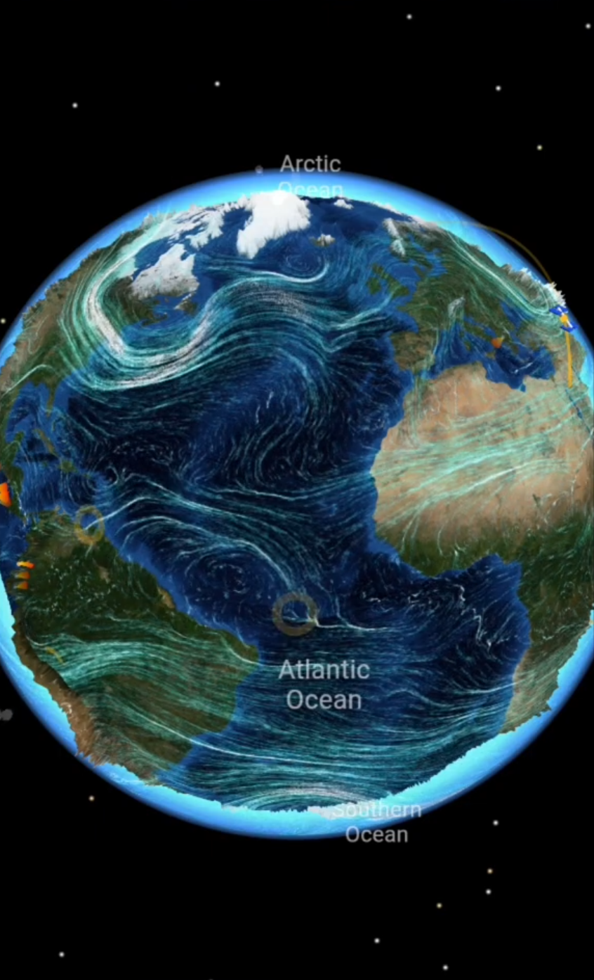
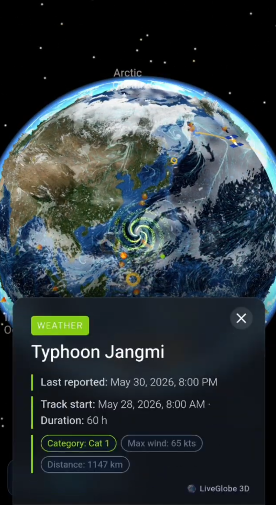
In LiveGlobe 3D, you can put the terrain in context: rotate and zoom the globe, adjust relief in the settings, and find a region with place search. The web app has a sign-in flow, and search relies on external data. Make the temperature comparison using a specialist weather source.
Explore a familiar mountain range with one question in mind: Am I describing how moving air cools, or comparing the temperatures actually measured at different heights?
Short clips
The app in motion: short, genuine glimpses straight from use.
At a glance
How the app feels on your phone.