Rain shadows: why one side of a mountain is wetter than the other
Why is one side of a mountain wetter? Understand rain shadows, windward and leeward slopes, the difference from foehn winds, and Death Valley's geography.
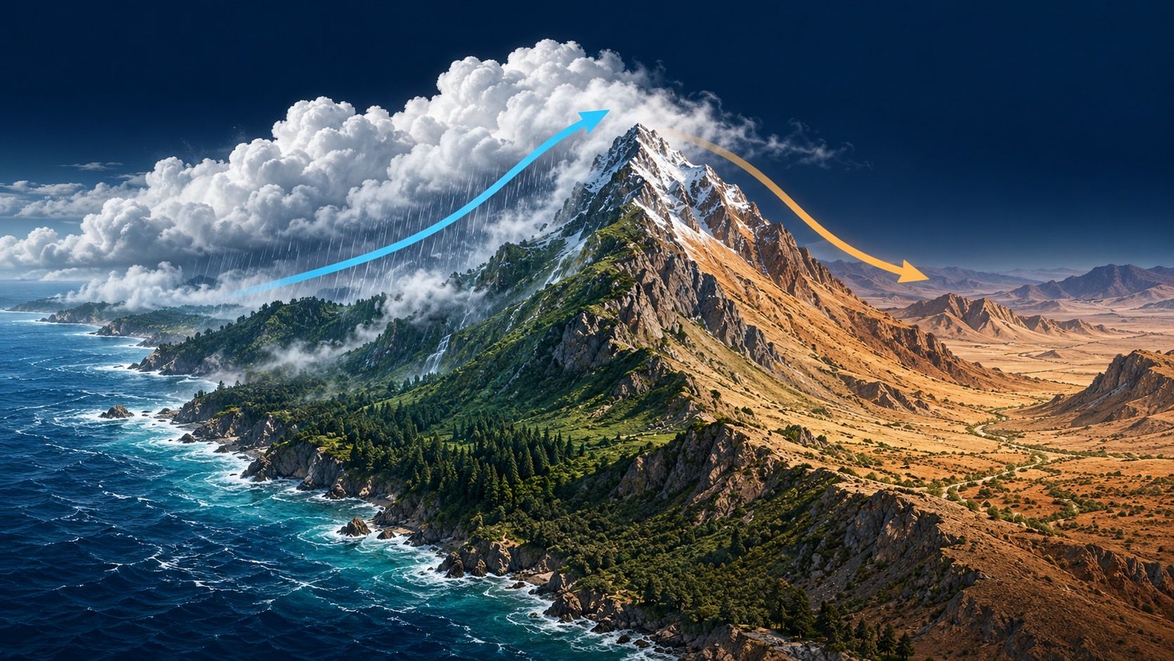
Clouds gather over green slopes on one side of a mountain range. Beyond the ridge, the landscape opens into a much drier valley. A rain shadow forms when mountains influence precipitation so that less rain or snow reaches the downwind side. The mountain is not simply a roof keeping rain out: the key is how air changes as it rises and descends.
Three terms help explain the pattern. Windward means facing the incoming wind; leeward means facing away from it. Orographic precipitation is rain or snow encouraged by air being forced to rise over terrain.
Windward and leeward depend on the wind
With air flowing from west to east across a ridge, the western slope is windward and the eastern slope is leeward. Reverse the airflow and the roles reverse too. A north-facing slope is not automatically the wet side, nor is a south-facing slope always dry.
For a long-term rain shadow, ask which directions commonly bring moist air. For a particular day’s weather, identify the airflow crossing the range. Our guide to wind direction explains the naming rule: a westerly wind comes from the west and blows towards the east.
How rising air can produce rain
As moist air is pushed uphill, it encounters lower surrounding pressure. It expands and cools. If it cools enough to reach saturation, some water vapour condenses into tiny cloud droplets. Rain or snow can follow if precipitation particles develop and grow sufficiently.
The Met Office’s explanation of the foehn effect describes this as one important process in airflow over mountains. A slope does not guarantee rain: moisture, wind and atmospheric stability matter. Clouds contain droplets, ice crystals or both, whereas gaseous water vapour is invisible. See how clouds form for the underlying process.
What happens beyond the ridge?
Air can descend on the leeward side. Moving into higher pressure, it is compressed and warms. Its relative humidity then falls, provided enough water is not being added at the same time to offset that change. Cloud droplets can evaporate and clouds may fade.
If precipitation has already removed some water upwind, there is also less water available to carry onwards. These effects can produce a strong contrast:
| Stage | Typical process in a simplified model |
|---|---|
| Moist air approaches | Wind carries water vapour towards the range |
| Windward ascent | Expansion and cooling; clouds and precipitation may develop |
| Leeward descent | Compression and warming; relative humidity falls |
| Repeated weather patterns | Lower long-term precipitation in the sheltered region |
The mountain does not soak water up like a sponge. Some falls out, while some remains as vapour or within clouds. A rain shadow means less precipitation, not no rain ever. Nor does every rain shadow become dry enough to form a desert.
Is a rain shadow the same as a foehn wind?
A rain shadow describes a recurring geographical pattern in precipitation. A foehn is a warm, dry downslope wind on the lee side of a mountain barrier. The two can occur together, but they answer different questions: Where is precipitation reduced? and What airflow is warming and drying the lee slope?
The familiar account of rain falling on one side and warm air descending on the other is only part of the foehn story. The Met Office also describes the draw-down of air from higher levels and turbulent mixing. Foehn winds can occur without rain on the windward side. A dry valley alone does not establish that a foehn is occurring or identify its mechanism.
Death Valley: more than one mountain barrier
Western North America provides a useful example. Winter storms moving inland from the Pacific must cross several mountain ranges before reaching Death Valley. Water can fall as rain or snow on western slopes, leaving less moisture to travel farther east.
The National Park Service explains Death Valley’s dryness as a rain-shadow effect strengthened by successive ranges. Think of a series of barriers rather than one isolated peak. The same page also describes possible rainfall: a dry climate does not rule out individual wet spells.
Try a four-step map exercise
- Locate the moisture source. Find the ocean or other region from which moist air commonly arrives.
- Trace the terrain. Which ranges lie across that route? Imagine a cross-section from the coast into the interior.
- Mark the airflow first. Then label windward and leeward. Different wind directions can change the labels.
- Compare precipitation records. Use long-term observations or climate maps covering the same period, and account for differences in elevation. One cloud-free satellite image does not demonstrate a climatic rain shadow.
A useful note might read: “Frequent moist westerly airflow crosses several ranges; long-term precipitation is lower farther inland to the east.” That is a relationship you can check, unlike “it never rains behind mountains”.
Put the landscape in context on a globe
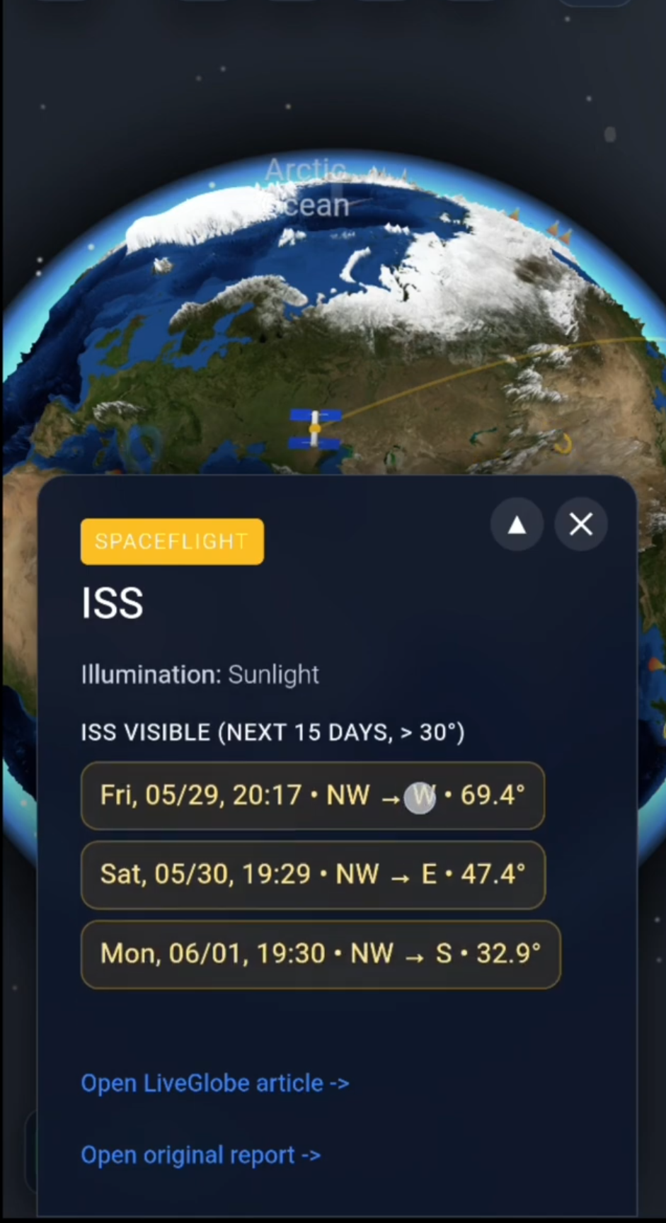
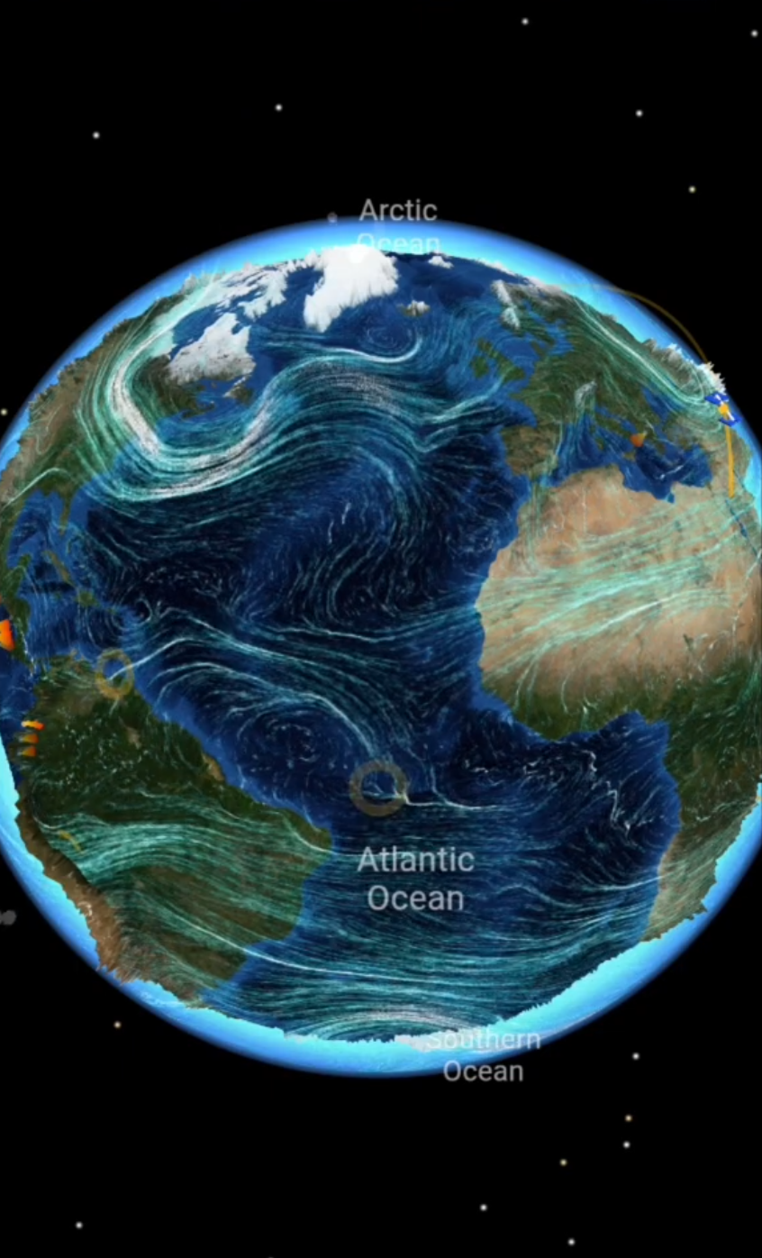
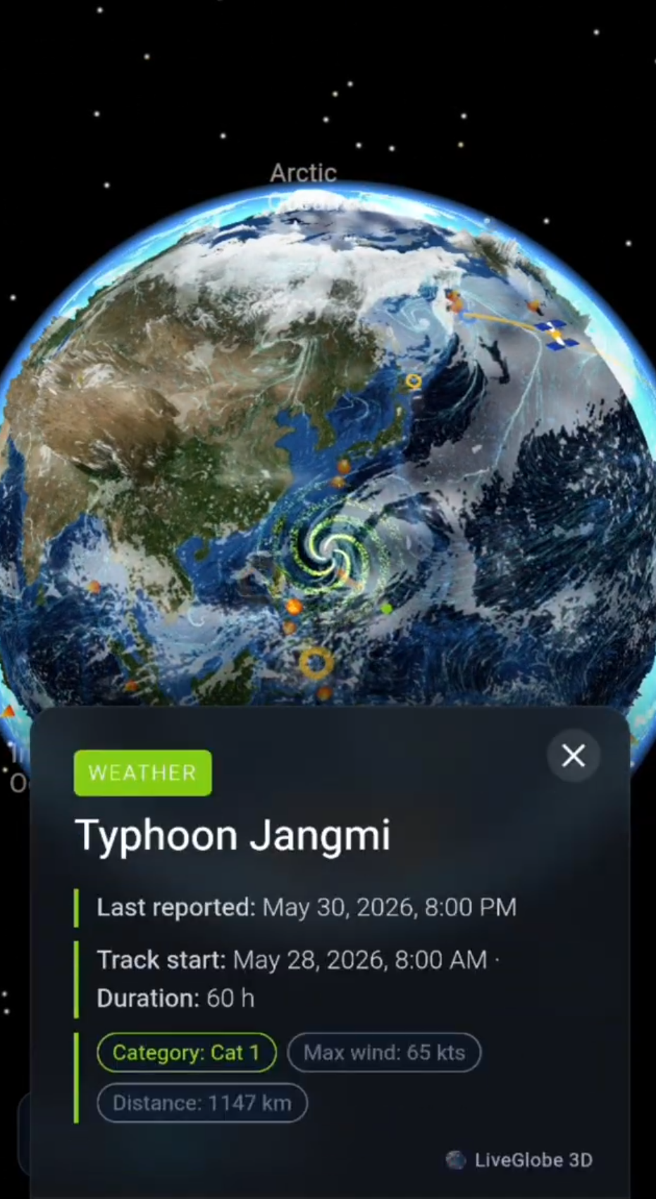
In LiveGlobe 3D, you can rotate and zoom the globe, adjust relief in the settings and use place search to move to a region. The web app has a sign-in flow, and place search relies on external data. Look for Death Valley and place it in relation to the Pacific coast and the intervening ranges. Use a specialist climate-data source for the precipitation comparison.
Explore the available LiveGlobe 3D views with one question in mind: Where is the moist air coming from, and what lies in its path?
Short clips
The app in motion: short, genuine glimpses straight from use.
At a glance
How the app feels on your phone.