Why is Earth slightly flattened at the poles?
Why Earth is slightly flattened at the poles: understand rotation, equatorial and polar radii, and how a sphere, ellipsoid and geoid differ.
Earth looks round in pictures from space. Yet its surface is, on average, a little farther from the center at the equator than at the poles. Earth’s rotation is the reason: together with gravity, it produces a nearly spherical shape with a slight polar flattening. Our planet isn’t a perfect sphere, but the difference is much smaller than dramatic diagrams might suggest.
Gravity pulls together; rotation changes the balance
Gravity draws matter together. For a large celestial body, a sphere is the simplest starting point for understanding the resulting shape. But Earth also spins about its axis.
In a frame of reference rotating with Earth, we describe the rotational effect as centrifugal force, directed away from the rotation axis. The equator is farthest from that axis; the poles lie on it. Rotation therefore affects the equilibrium shape differently at different latitudes. Earth is slightly wider across the equator and shorter along its polar axis. NOAA’s explanation of Earth’s shape connects this equatorial bulge with rotation.
“Flattened” doesn’t mean something is pressing down on the poles from outside. Nor is Earth stretched into a new shape every morning. It describes the long-established form of a rotating planet held together by its own gravity.
How much wider is Earth at the equator?
The NASA Earth Fact Sheet gives the radii below. A radius runs from the center to the model’s surface. A diameter runs all the way through the center, from one side to the other.
| Measurement | Rounded value |
|---|---|
| Equatorial radius | 6,378.1 km |
| Polar radius | 6,356.8 km |
| Difference in radii | 21.4 km |
| Equatorial diameter | 12,756.3 km |
| Polar diameter | 12,713.5 km |
| Difference in diameters | 42.8 km |
The often-quoted difference of “about 21 kilometers” refers to the radii, not the full diameters. Mixing them up doubles or halves the answer.
Flattening is defined as (equatorial radius − polar radius) / equatorial radius. For Earth, that’s roughly 0.00335, or 0.335 percent. These are values for a smooth model; they don’t include every mountain peak or local variation in the ocean surface.
Picture a globe just 30 centimeters wide
If a scale model had an equatorial diameter of 30 cm, its polar diameter would be only about 1 mm smaller. The calculation is simple: 300 mm × 0.00335 ≈ 1 mm.
A visibly squashed Earth would therefore exaggerate the real flattening. The difference is difficult to spot in an ordinary photograph. Looking almost circular and having a measurable polar flattening are entirely compatible.
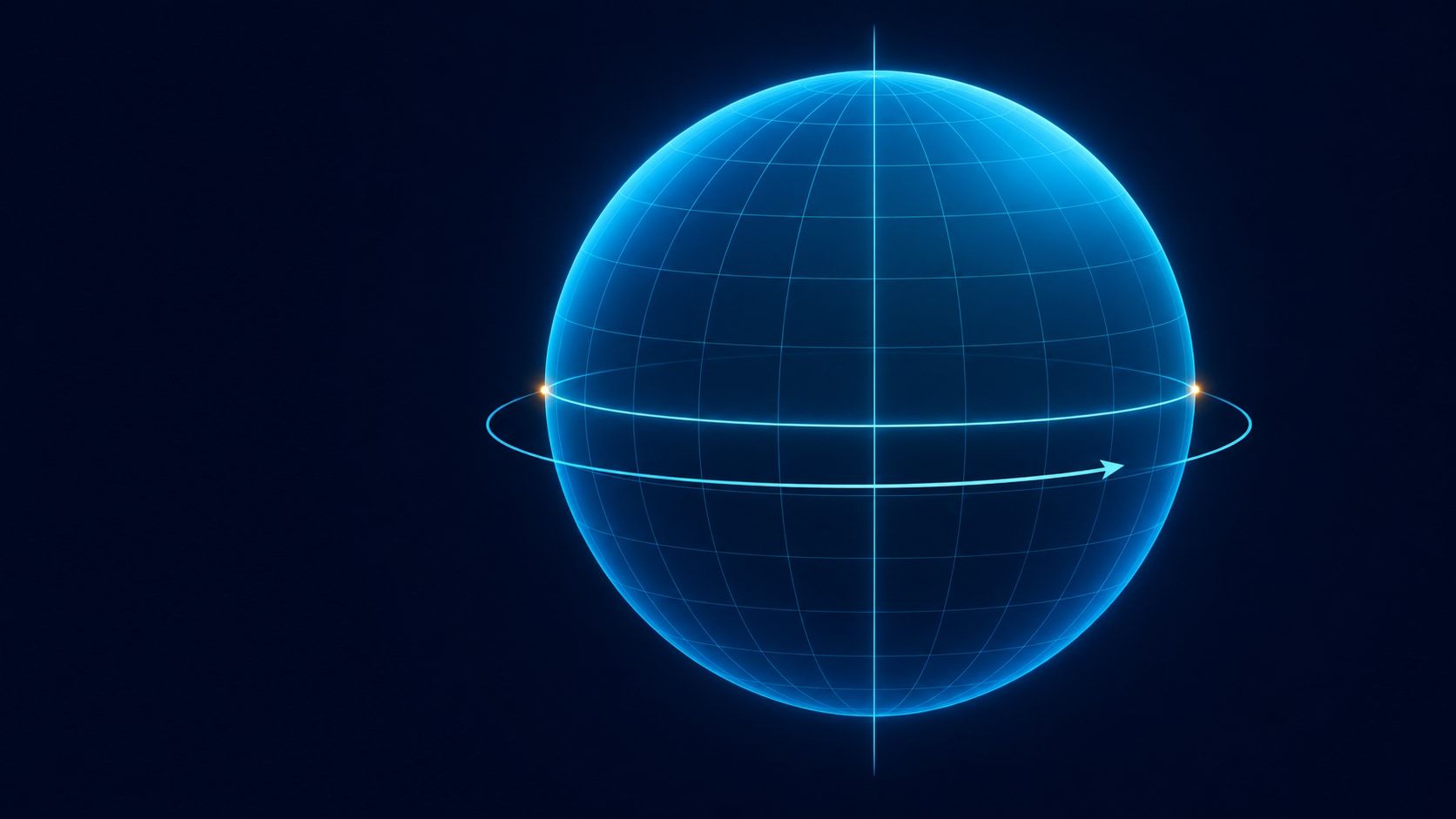
The cover uses a schematic rotation model with an axis and an equatorial plane. It isn’t a measurement diagram; the figures in the text show the actual scale of the difference.
Sphere, ellipsoid and geoid aren’t the same thing
Different questions call for different Earth models:
- Sphere: One radius describes the surface. This is a useful starting point for explaining latitude or distances around the planet.
- Oblate ellipsoid: A smooth shape with a larger equatorial radius and a smaller polar radius. It approximates Earth’s overall shape more accurately and provides a geometric reference surface.
- Geoid: A reference surface determined by Earth’s gravity field. Imagine mean sea level with tides and currents removed, continued beneath the continents. NOAA explains how this height reference works.
The geoid is not a map of mountain peaks and ocean trenches. Its departures from a smooth ellipsoid reflect the gravity field. Lumpy, “potato-shaped Earth” illustrations often exaggerate these departures enormously so we can see them. They don’t show what our planet’s outline would actually look like from space.
Explore the directions on a globe
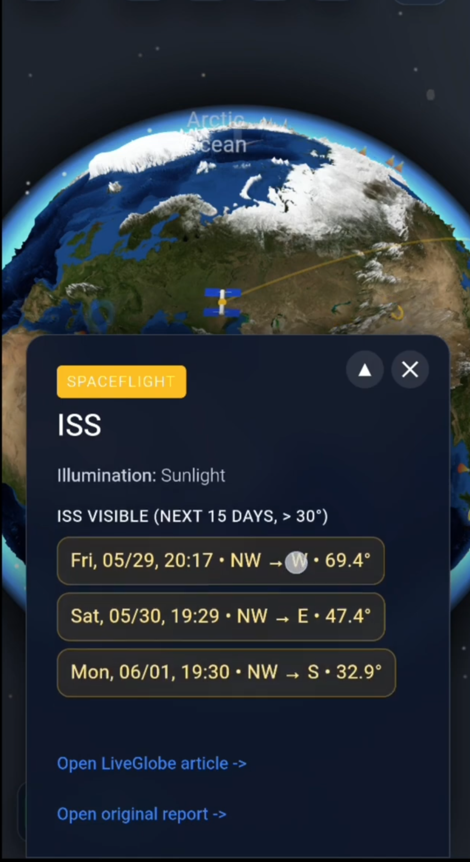
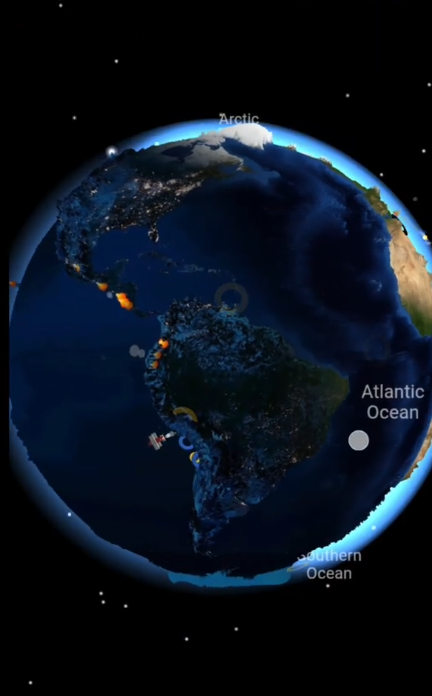
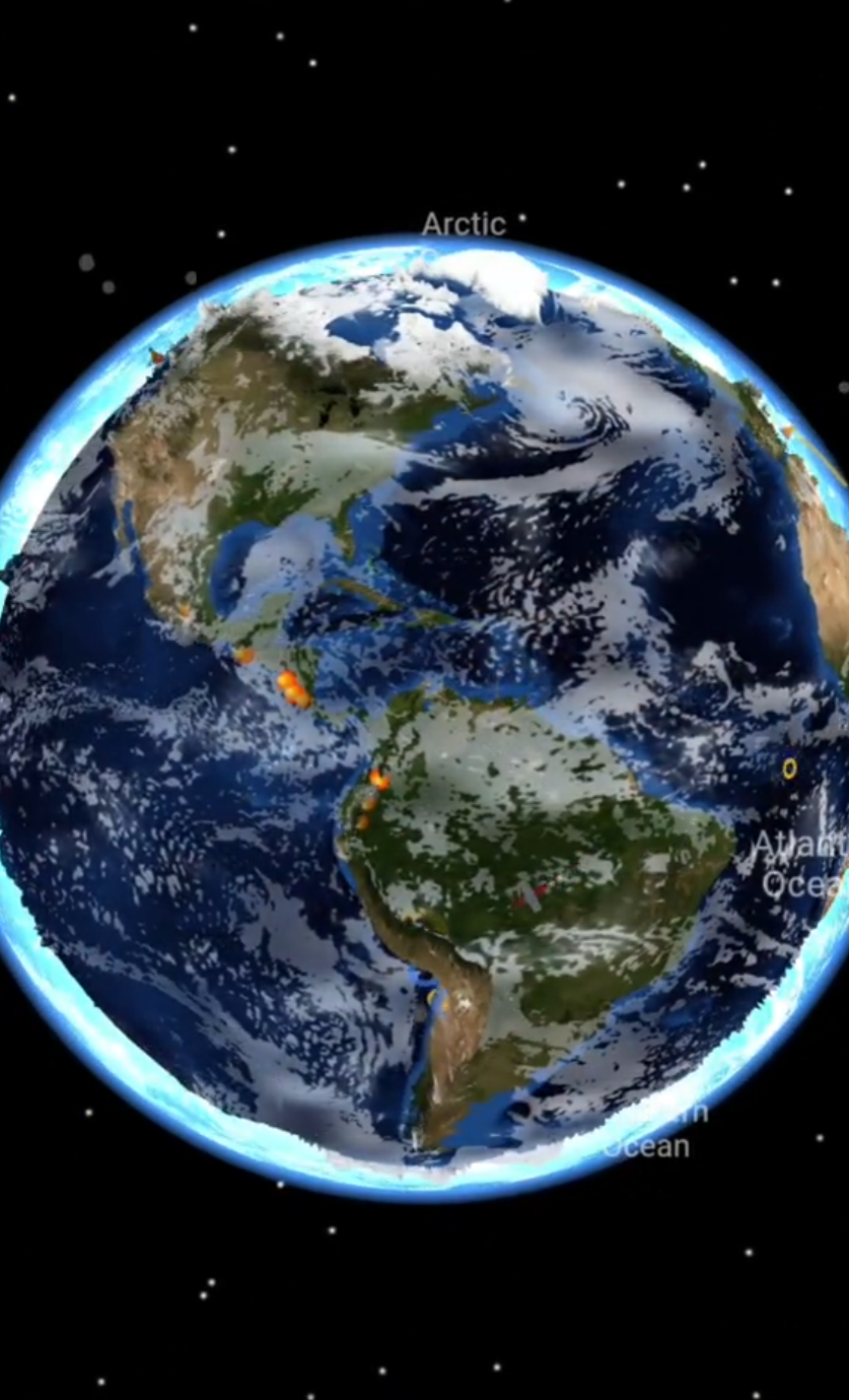
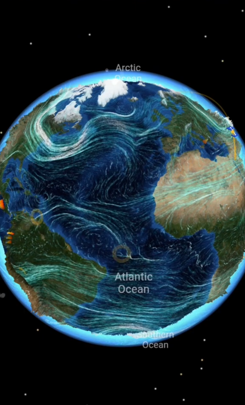
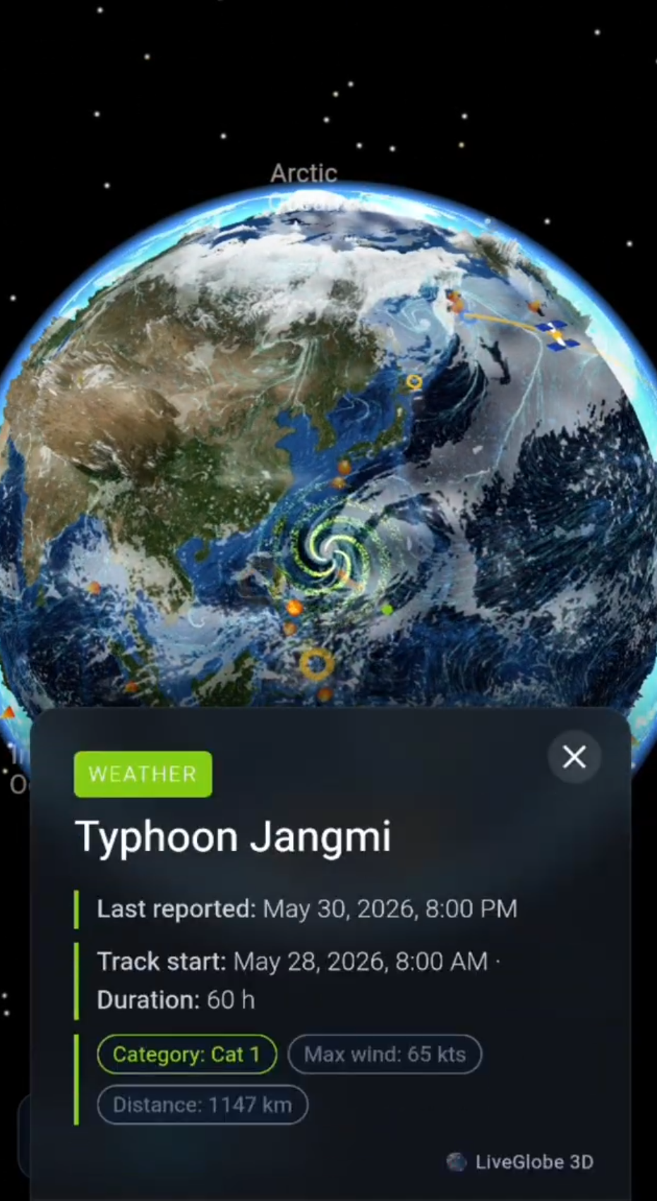
In LiveGlobe 3D, you can rotate and zoom the globe and enable the equator in settings. Compare that plane with an imaginary line joining the North and South Poles. This helps distinguish the directions of the equatorial and polar diameters. The web app is configured to require sign-in. Here, the globe is an aid to spatial understanding, rather than a tool for measuring Earth’s flattening.
For another example of models changing how we see Earth, explore great circles and curved flight paths on flat maps.
The key idea: Earth is almost a sphere. Rotation explains its small equatorial bulge; the geoid is a different reference surface, defined by gravity.
Short clips
The app in motion: short, genuine glimpses straight from use.
At a glance
How the app feels on your phone.