Active volcanoes around the world: regions and maps explained
Find the world's main volcanic regions, understand the USGS volcano estimate, and learn how inventories, event maps, and hazard maps differ.
Where are the world’s active volcanoes? Many cluster around the Pacific Rim; others occur where plates pull apart or above hotspots such as Hawaii. A world view reveals belts, island arcs, and smaller groups rather than an even scatter. A geologically active volcano, however, is not necessarily erupting today.
Start by finding the main regions. Then ask what kind of volcanoes—or events—the map actually includes.
Four regions to help you get your bearings
This selection introduces different volcanic settings. It is neither a complete inventory nor a report of eruptions happening now.
| Region | Where to look on the globe | What it illustrates |
|---|---|---|
| Pacific Ring of Fire | Around the Pacific margins, including the Andes, Cascades, and Aleutians | Many volcanoes occur where one plate descends beneath another |
| Mid-Atlantic Ridge and Iceland | Down the Atlantic; Iceland sits on the ridge | Volcanism at spreading boundaries, mostly beneath the sea |
| East African Rift | Eastern Africa, including Erta Ale and Ol Doinyo Lengai | Volcanism associated with a continent stretching apart |
| Hawaii | The central North Pacific, away from the ocean’s margins | Hotspot volcanism within a plate |
The USGS guide to plate motions describes the Andes, island arcs, Iceland, and East Africa. One useful distinction is being in the Pacific versus being on the Pacific Rim. Hawaii is in the ocean, but it is not part of the surrounding belt of subduction volcanoes.
The Ring of Fire is not one continuous crack
The name brings together many volcanically and seismically active areas around the Pacific. It does not describe a single volcano or one uninterrupted fissure. Centering a globe on the ocean helps connect the American side with the Asian and Oceanian side, which a flat map can split across its edges.
Iceland, East Africa, and Hawaii also show why the Ring of Fire cannot explain every volcanic region. For the island-chain story, explore the separate guide to Hawaii’s hotspot.
How many active volcanoes are there?
The USGS gives an estimate of about 1,350 potentially active volcanoes worldwide. That rounded figure excludes the continuous volcanic belts at ocean-floor spreading centers such as the Mid-Atlantic Ridge. It is not a count of every volcanic vent, or of volcanoes erupting today.
A number becomes useful only when you know the counting rules. Does the inventory count vents or whole systems? Which underwater regions are included? Does “active” refer to eruption potential or to a specific reporting period? Different maps can display different sets of points while each remains appropriate for its purpose.
Active does not mean erupting right now
A volcano can stay quiet for a long time and still retain the potential to erupt. An ongoing eruption is a time-specific event. A geological catalog and a daily bulletin therefore answer different questions.
The guide to Italy’s volcanoes and dormant Vesuvius offers a concrete example. A quiet interval cannot tell you exactly when another eruption will happen. Equally, the label “active” does not by itself constitute news of an eruption.
Three kinds of map, three different questions
| Map type | Main question | What to check |
|---|---|---|
| Geological volcano inventory | Which volcanic systems meet the catalog’s criteria? | Definition, time span, and submarine coverage |
| Event map | Which events does this source include in this period? | Source, filters, dates, and event status |
| Official hazard map | Which areas could be affected by particular processes? | Scenario, legend, and responsible authority |
The website’s separate live volcano map provides an event overview, not a complete catalog of potentially active volcanoes. Its EONET data are intended for visualization and general information; NASA explains that spatial and temporal extents can be approximate. A missing marker does not prove extinction. Likewise, “open” and “closed” event statuses are not geological activity classes.
Take a short world tour with LiveGlobe 3D
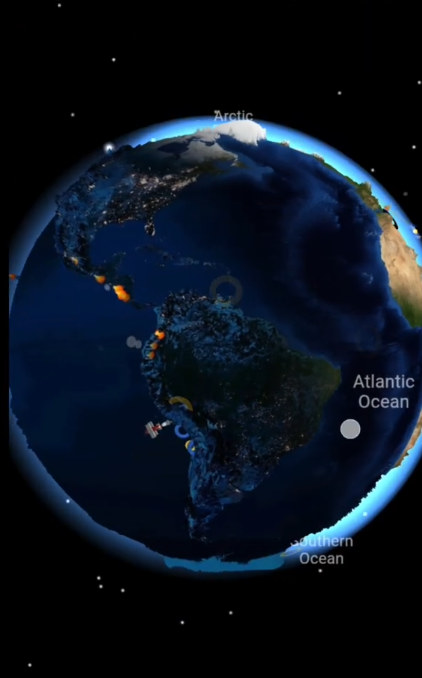
- Turn the globe until the Pacific is central. Follow its margins northward from South America, then back along the opposite side.
- Compare Hawaii in the ocean’s interior with the Aleutians along its northern edge. Focus on location before activity.
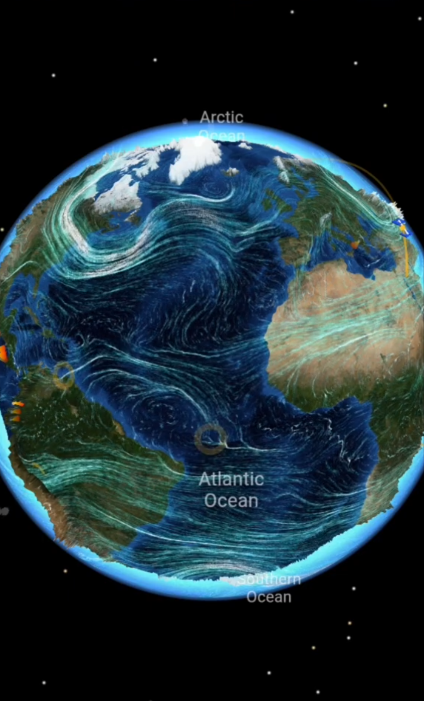
- Move to the Atlantic and use the search icon to find Iceland. Then compare eastern Africa: an ocean margin, a submarine ridge, and a continental rift are different settings.
- Enable plates in the settings. If the volcano layer in the Live menu is available for your access level, compare the displayed events with those broad regions.
The web app requires sign-in; place search and event data depend on external services, and the volcano layer requires the appropriate Premium access. For a particular volcano, follow up with a dated report from the responsible observatory. For visits, use its current advice and local access rules.
Explore the available LiveGlobe 3D views with one question in mind: Does this map show a volcanic system, an event, or a hazard area? That distinction makes the global picture much easier to understand.
Short clips
The app in motion: short, genuine glimpses straight from use.
At a glance
How the app feels on your phone.