How do tsunamis form—and why do they grow near the coast?
Discover how undersea earthquakes create long waves, why tsunamis travel fast in deep water, and how shallow coastal water changes their height and impact.
A tsunami begins when a large volume of water is suddenly displaced. Often, a strong undersea earthquake raises or lowers part of the seabed and the water above it. The disturbance spreads as a series of very long waves. They can be barely noticeable in the deep ocean, then slow down, shorten, and often grow taller in shallow coastal water.
The key is not a towering, curling wave. On shore, a tsunami may look more like a rapidly rising flood with powerful currents. To understand why, start below the surface.
From earthquake to water wave
At a subduction zone, one tectonic plate descends beneath another. Parts of the boundary can lock while stress builds over time. When the locked area suddenly slips, the seabed moves. If a large area rises or falls, the water column above it is displaced. Gravity pulls the water back toward equilibrium, and waves spread outward from the source.
Not every offshore earthquake therefore produces a tsunami. Location, depth, rupture area, and the actual displacement of the seabed matter alongside earthquake size. Magnitude alone cannot answer the question. Landslides and certain volcanic events can also displace water suddenly.
For the geological setting, see our guide to tectonic plates and boundary types.
How is a tsunami different from wind waves and tides?
Ordinary wind waves receive energy from wind blowing across the surface. Their water motion decreases strongly with depth. A tsunami has such a long wavelength that its motion involves the entire water depth. Successive crests can be well over a hundred kilometers apart.
Wavelength is the distance from one crest to the next; wave height is the vertical distance from trough to crest. A very long wave need not be tall in deep water. That is why a tsunami can pass almost unnoticed offshore.
Tides are different again. They are driven mainly by the gravitational effects of the Moon and Sun and follow a different rhythm. Calling a tsunami a “tidal wave” confuses two distinct processes. Our article on why high tide times change explains the tidal cycle.
Why does it travel so fast in deep water?
The speed of these long waves can be approximated by c ≈ √(g · h), where g is gravitational acceleration and h is water depth. Deeper water means faster propagation.
An idealized example using g = 9.81 m/s²:
| Water depth | Approximate speed |
|---|---|
| 4,000 meters | 710 km/h, or about 440 mph |
| 100 meters | 110 km/h, or about 70 mph |
These are rounded model values, not an arrival forecast for a beach. The real seabed is uneven, and a wave crosses water of different depths. Dividing a distance on a globe by one deep-ocean speed will not give a reliable warning time.
What changes near the coast?
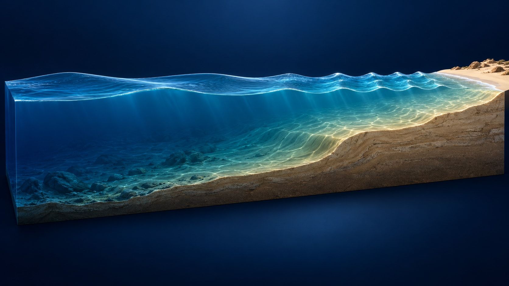
As the water becomes shallower, the wave slows. Its period remains approximately the same, so the distance between crests decreases. Wave height can increase as the wave train encounters the rising seabed. The cover illustrates this transition schematically; it is not drawn to scale.
The water’s reach at a particular location also depends on seabed shape and coastal topography. Bays, reefs, river mouths, and coastal slopes influence water levels and currents. Nearby stretches of coast can experience very different effects. A global overview cannot replace a local inundation map.
A tsunami is also a series of waves, and the first is not necessarily the largest. Sometimes a trough arrives first, causing the sea to withdraw unusually far. Sometimes the first sign is rising water. Withdrawal is not a required step before a tsunami arrives.
Explore the geography on a globe
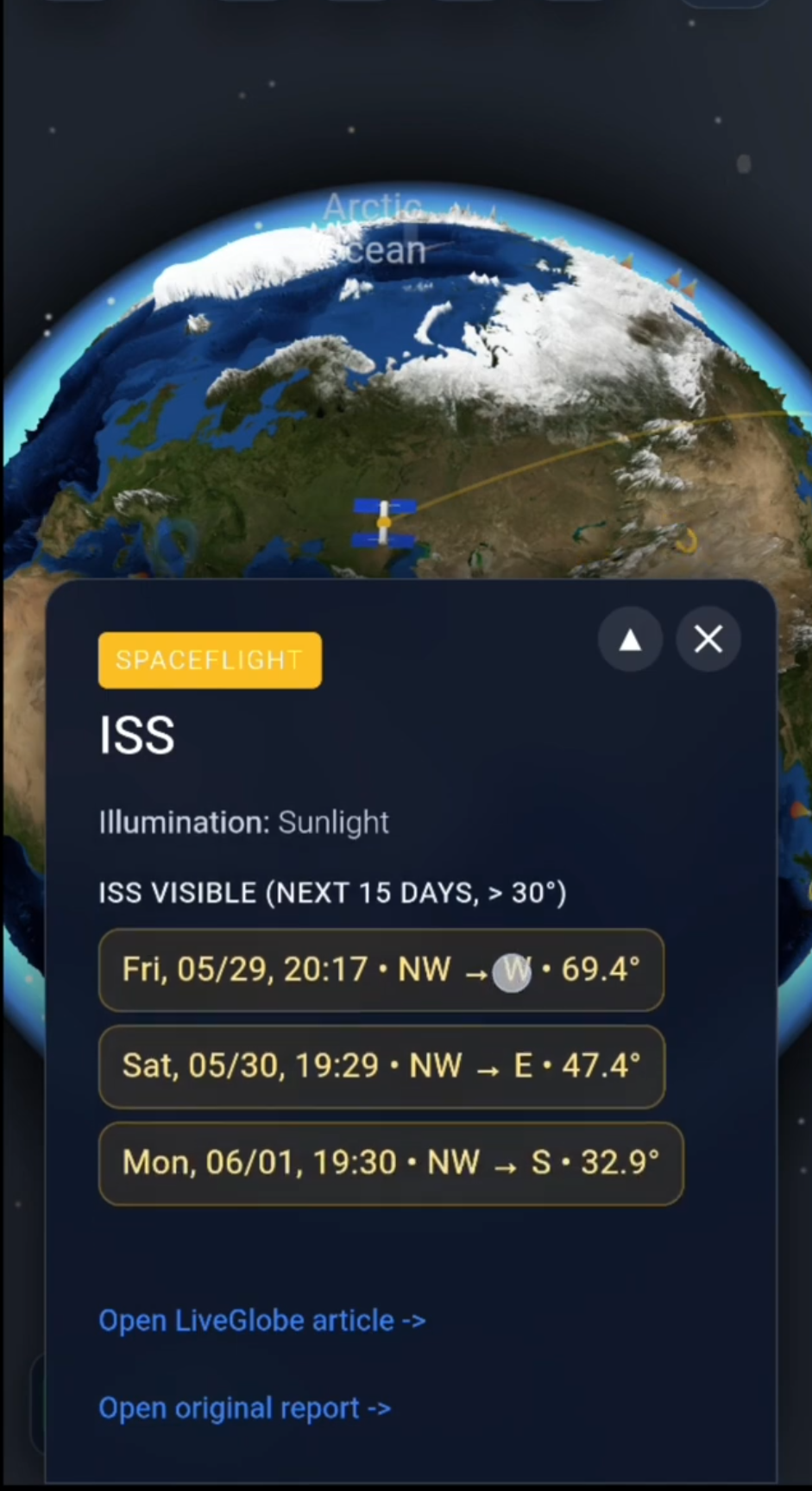
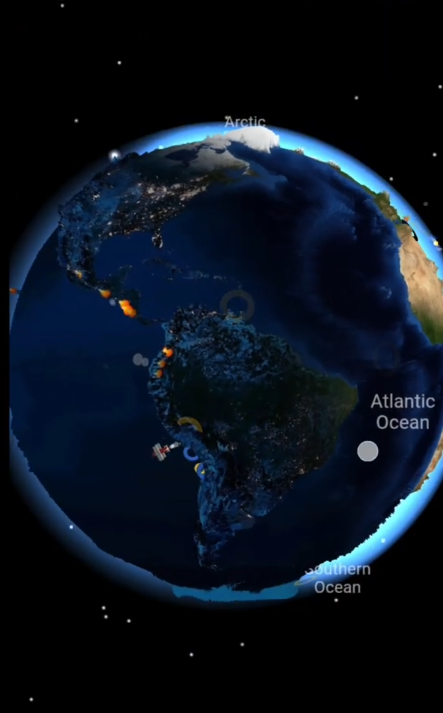
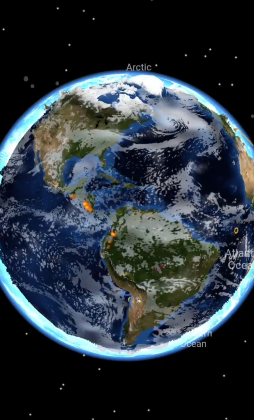
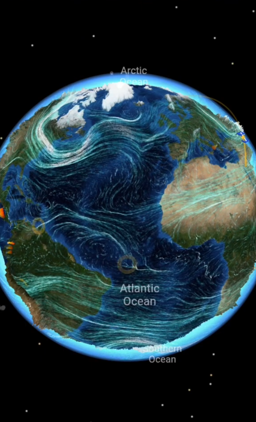
For an educational look at the setting, rotate and zoom the globe in LiveGlobe 3D, select the plate display in settings, and locate a coastal region. The magnifying-glass search accepts at least two characters; try a place in Japan or Chile. Web access may require a login, and place search depends on an external service responding.
Compare three things: Where is the plate boundary? Which coast is close to it? Which coasts lie across the ocean? This helps make sense of locations and distances. Actual warnings and evacuation zones come from the responsible local authorities.
On a tsunami-prone coast, strong or prolonged shaking or unusual ocean behavior is a reason to act, not wait on the beach. Follow local evacuation routes to safe high ground or inland rather than checking an app first. Return only after officials give the all-clear.
The idea to remember
A tsunami is a long wave series caused by sudden water displacement: fast and often low in deep water, slower and often taller near shore, with effects shaped by the individual coastline.
To explore those geographical connections, take a look at LiveGlobe 3D and its available views.
Further reading
Short clips
The app in motion: short, genuine glimpses straight from use.
At a glance
How the app feels on your phone.