Why Are There Usually Two High Tides a Day, and Why Do Their Times Change?
Learn why many coasts have two high tides in a lunar day, why the times move later, and where to check reliable local tide predictions.
Short clips
The app in motion: short, genuine glimpses straight from use.
At a glance
How the app feels on your phone.
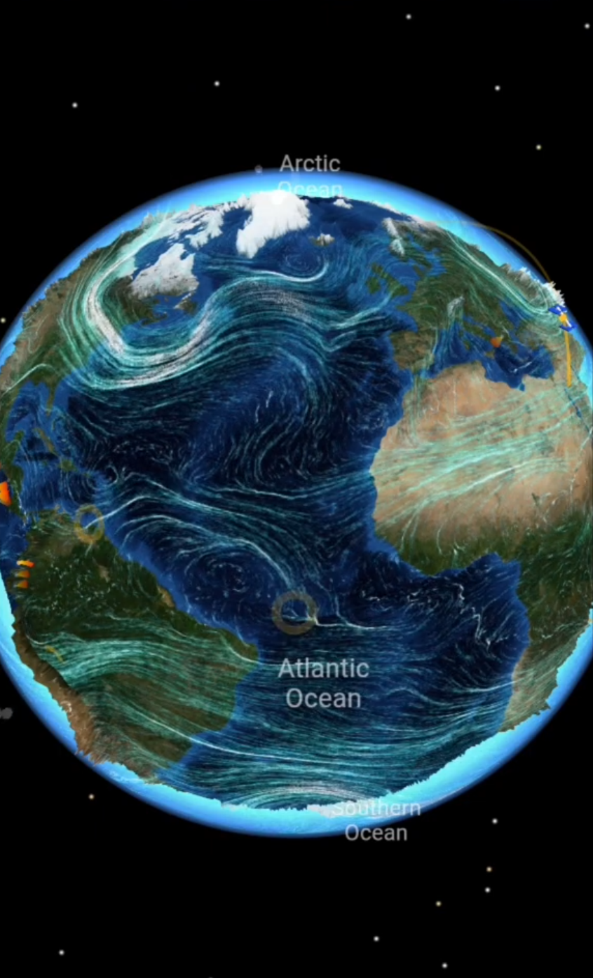
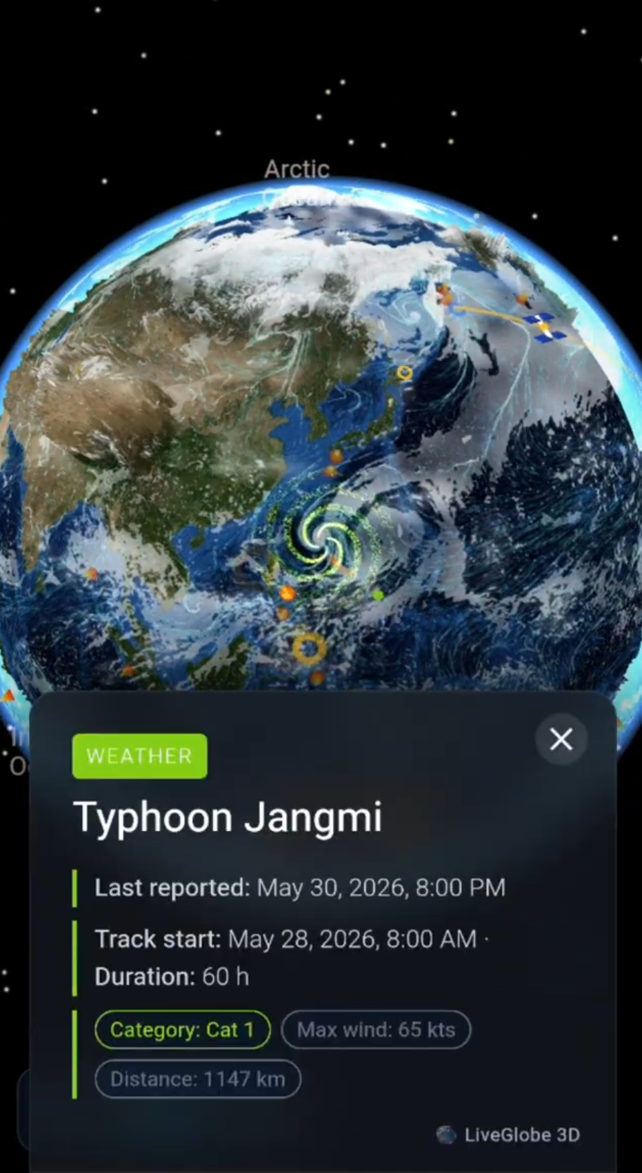
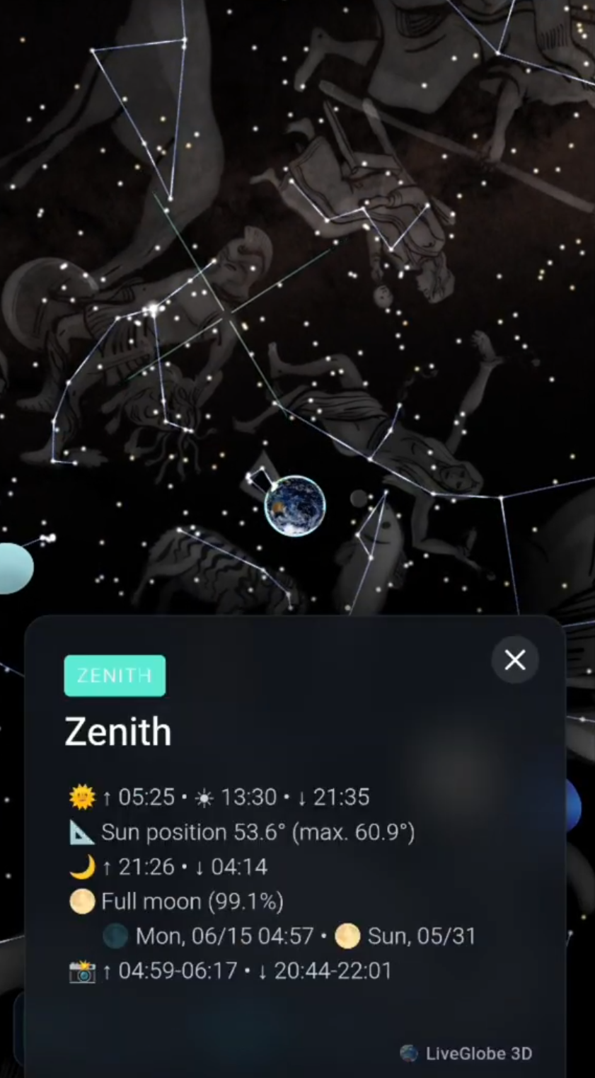
At many coastlines, a morning high tide is followed by another in the evening. Yet the next morning’s high tide does not arrive at precisely the same clock time. The Moon’s gravity produces two regions of elevated water in a simplified model; Earth turns beneath them while the Moon moves on. This explains the typical twice-daily pattern and the approximate daily delay. Actual tides at a particular shore require local information (NASA: Tides; German Federal Maritime and Hydrographic Agency (BSH)).
Rising water is not the same thing as high tide
The flood tide is the period when the water rises; the ebb tide is when it falls. High water marks the turning point between rising and falling, and low water the turning point between falling and rising. If you need a time for a coastal walk, look for the high- or low-water time at your specific location, rather than treating “the tide” as a single time.
Why two regions of higher water?
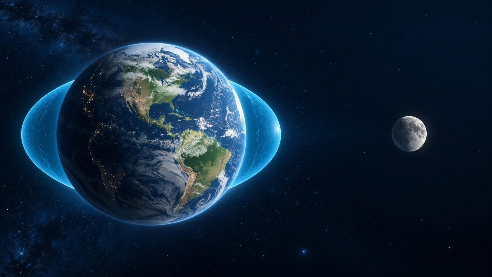
Imagine an ocean-covered, perfectly smooth Earth and the Moon off to one side. Lunar gravity acts on the whole Earth, but its pull is slightly stronger on the near side than at Earth’s centre, and slightly weaker on the far side. That difference—the tidal force—redistributes water. In the idealised picture, water is higher on the side facing the Moon and the opposite side, with lower-water regions between them. It is misleading to picture the Moon simply lifting a column of water straight upwards (NASA: Tides).
As Earth rotates, a point on its surface passes through these two idealised high-water regions. That gives an intuition for why many, but not all, coasts have two high waters and two low waters in a lunar day. The diagram is not a map of actual sea levels: ocean basins and coastlines change how tides propagate (BSH: Die Gezeiten).
Why tomorrow’s high tide is later in the model
The Moon advances in roughly the same direction as Earth’s rotation. Returning to the same orientation relative to the Moon therefore takes an average of about 24 hours 50 minutes, a lunar day. Where the tides follow a twice-daily pattern, consecutive high waters are about 12 hours 25 minutes apart on average (BSH: Die Gezeiten).
Here is an illustration, not a tide prediction: if a model high water occurs at 8:00 a.m., the next would be around 8:25 p.m., and the following one near 8:50 a.m. the next day. The roughly 50-minute shift compares one morning high water with the following morning’s—not necessarily each local tide’s exact schedule.
Why the real coast refuses to follow that timetable
Continents block the ocean; basins differ in shape and depth, and tides travel through them. The BSH notes that Atlantic tides reach Borkum and Cuxhaven on the German North Sea coast at different times. Wind and weather can change the water level beyond the astronomical prediction. Other shores have once-daily or mixed tidal patterns. Never use “two a day, 12 hours 25 minutes apart” as a universal harbour timetable.
The Sun matters too. Near new and full Moon its tidal influence reinforces the Moon’s, producing spring tides; near first and last quarter the effects partly counteract, producing neap tides. These describe differences in tidal range, not a high-water clock time you can derive from the Moon phase alone (NASA: Tides).
Find the time for the place you are visiting
For a German coastal location, select a place and date in the BSH tide predictions; elsewhere consult the relevant local tide service. Compare the stated high and low waters and take current weather and water-level advice into account. A phase diagram is for understanding, not for planning a trip across tidal flats.
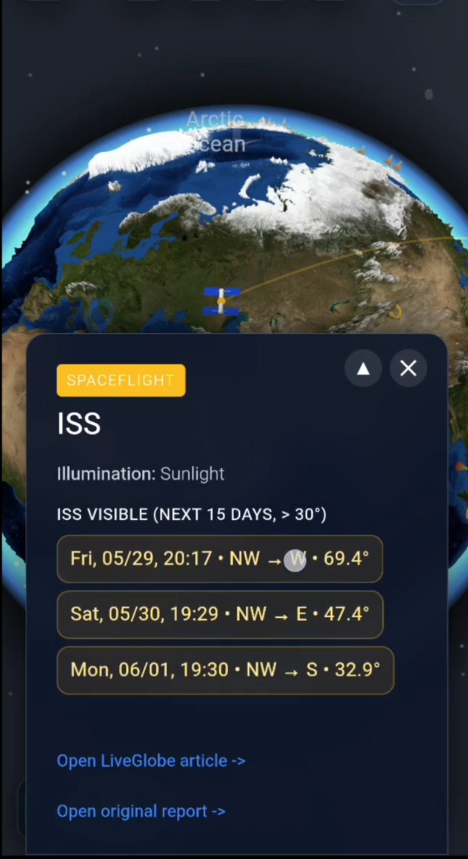
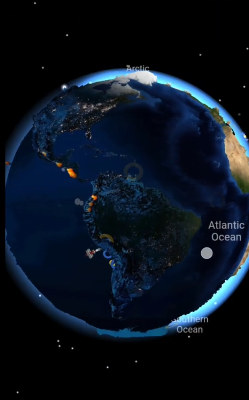
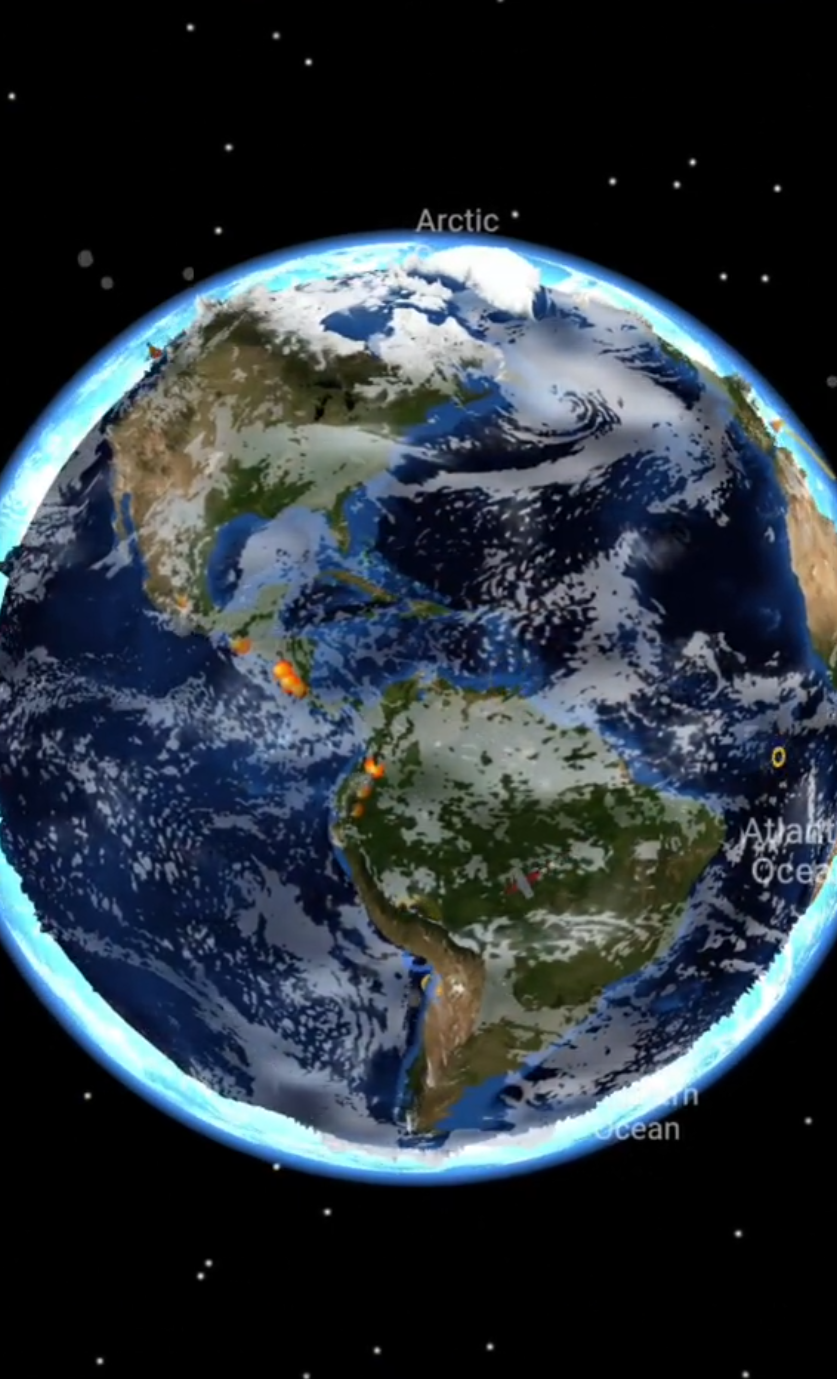
For spatial orientation, you can rotate the globe in LiveGlobe 3D and long-press a location to open its information. At a suitable marine point, externally supplied tide information may be available. That depends on the location, data service and web access; it is not a substitute for a local official tide prediction.
In short: the moving Moon and a two-bulge model explain the broad rhythm. The actual time and height of high water belong to a particular coastline and its measured, locally predicted tides.