Why are so many deserts near 30 degrees latitude?
Why do many deserts lie in the subtropics? Explore Hadley cells, sinking air and dry climates, with a globe activity and exceptions to the pattern.
The Sahara, the Arabian Desert and Australia’s broad dry regions look far apart on a globe. Yet many occupy similar latitudes north and south of the equator. One major reason is sinking air in the Hadley circulation. As air descends, it warms, making rain-cloud formation less likely.
This explains a worldwide pattern, rather than an unbroken desert ring. Ocean currents, mountains and distance from the sea help shape the details.
A desert is dry, but not necessarily hot
A desert receives very little precipitation over the long term. Heat and sand dunes are optional: cold regions can be deserts too. The National Geographic Society distinguishes subtropical, coastal, rain-shadow, interior and polar deserts, among other useful categories.
Many hot deserts cluster in roughly the 20–35-degree latitude belts in both hemispheres. The tropics of Cancer and Capricorn, at about 23.4 degrees north and south, lie within these belts. They do not mark sharp desert boundaries, nor does every desert sit exactly at 30 degrees.
The Hadley cell in four steps
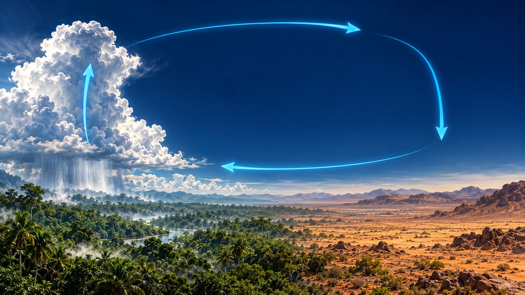
Strong solar heating in the tropics helps drive large-scale atmospheric circulation. The Met Office describes Hadley cells as linking tropical rising air with subtropical sinking air:
- Air rises in the tropical convergence zone. Near-surface winds meet, and moist rising air expands and cools.
- Water vapor condenses. Clouds and heavy rain can develop. Rain removes some of the air’s moisture, rather than every last bit of water vapor.
- Air flows poleward aloft. It moves away from the tropics toward the subtropics.
- Air sinks over broad subtropical regions. This favors high pressure near the surface. Some air returns toward the tropical convergence zone as the trade winds.
The cell is a simplified picture of circulation averaged over time. It is not a fixed conveyor belt: rising zones and pressure belts shift with the seasons, while land and ocean influence their regional shape.
How does sinking air suppress rain?
A descending parcel encounters higher pressure. It is compressed and warms. If its water-vapor content stays the same, its relative humidity falls: it is farther from saturation.
Cloud droplets can then evaporate. Broad sinking motion also works against the uplift needed to build rain clouds. Alongside the moisture already lost through tropical rainfall, these conditions favor dryness.
The useful chain is not “strong sunshine means no rain.” It is circulation → descent → warming → lower relative humidity and less favorable conditions for cloud formation. The reverse process during ascent is explored in How do clouds form?.
Why isn’t every place near 30 degrees a desert?
The subtropical high-pressure belt is only part of the story. Moist winds and seasonal rains supply some regions with water. Elsewhere, additional influences reinforce the dry conditions.
| Influence | What to look for |
|---|---|
| Large-scale sinking air | A broad explanation for many subtropical deserts, including the Sahara |
| A cold current along the coast | Can help create a coastal desert together with stable air; fog need not bring substantial rainfall |
| Mountain ranges | Their downwind sides may receive less precipitation |
| A continental interior | Ocean-supplied moisture has limited access to the region |
The Atacama illustrates how coastal conditions and other factors can combine. A rain shadow is a distinct, terrain-driven mechanism; see windward and leeward mountain slopes for the steps. Antarctica, meanwhile, shows that deserts can also occur far outside the subtropics.
Try a short globe exploration
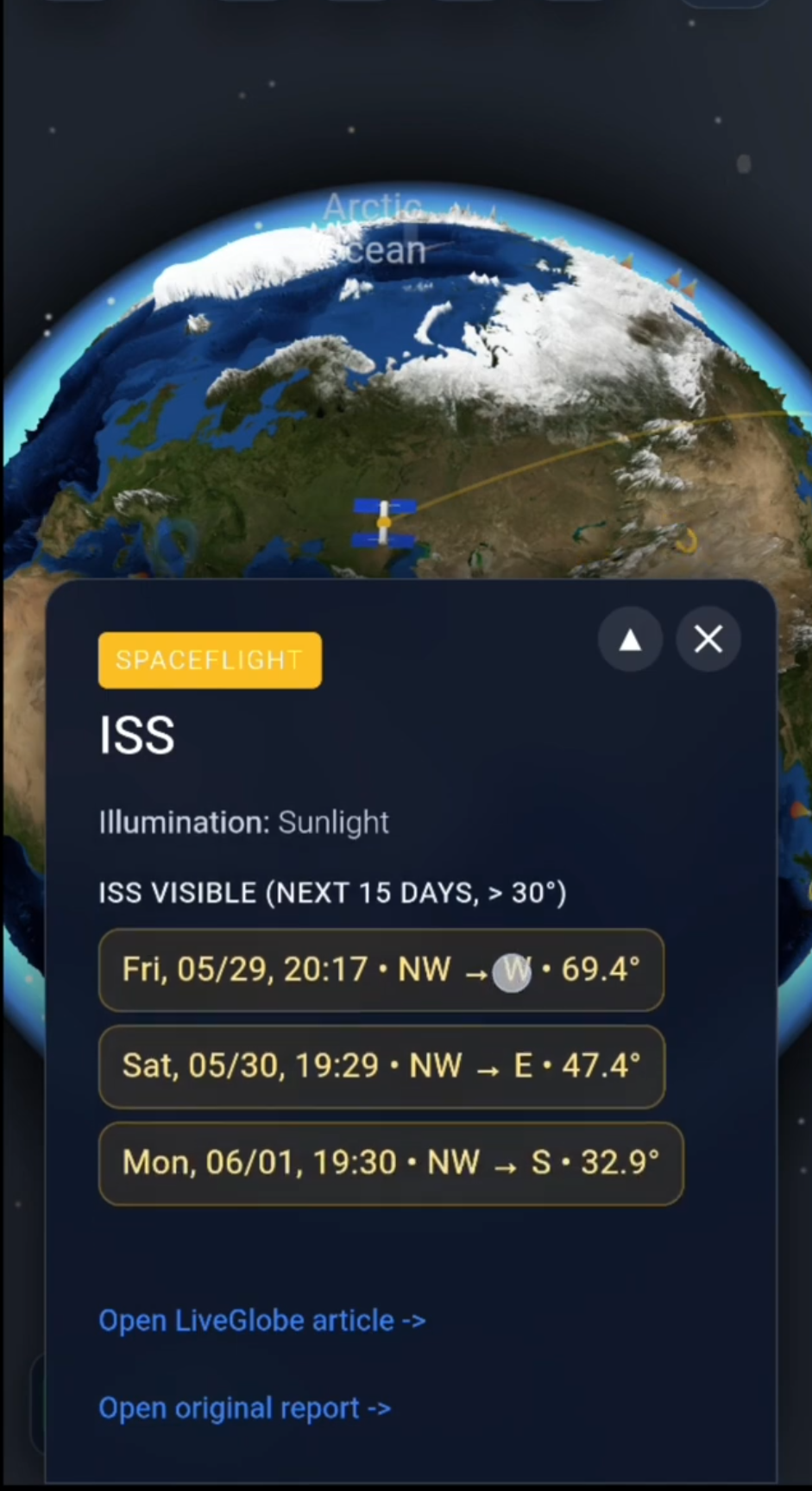
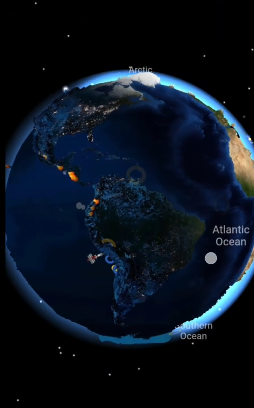
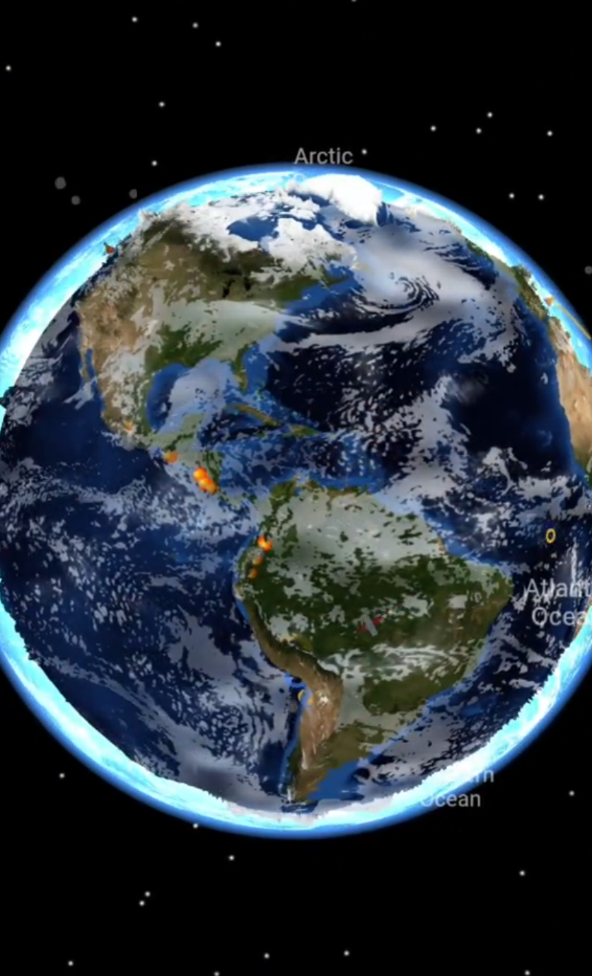
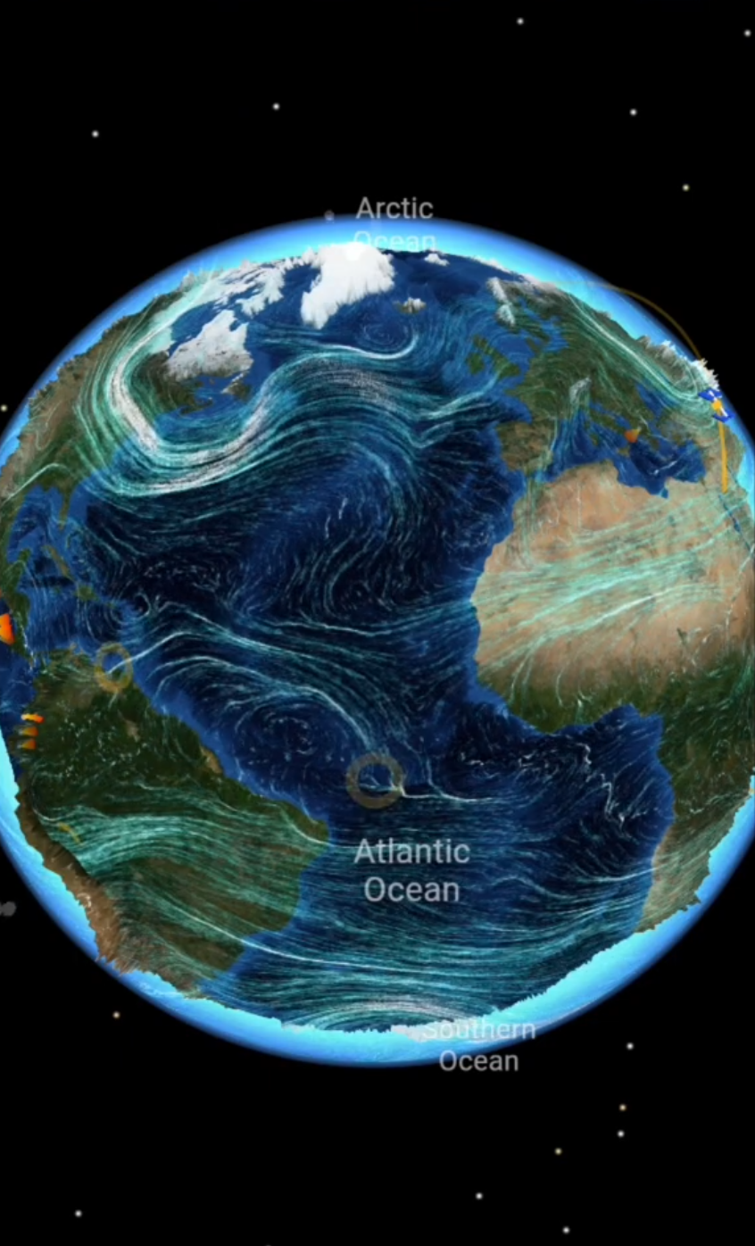
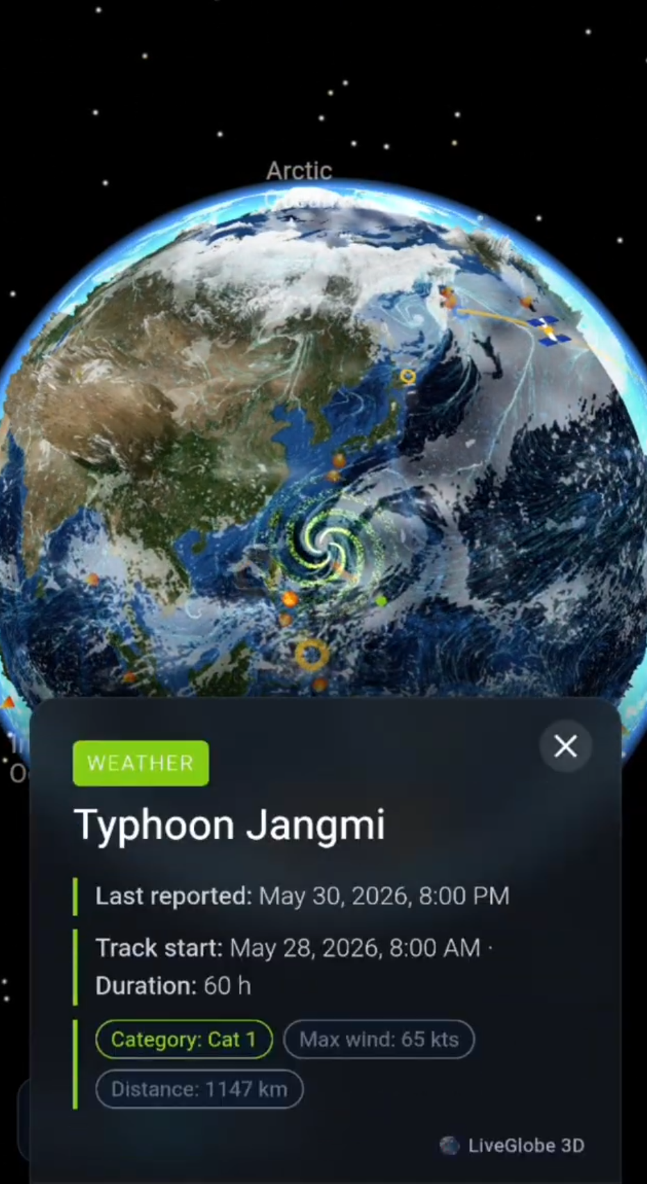
In LiveGlobe 3D, you can rotate and zoom the globe and use the settings to display the equator and tropics. The web app is configured to require sign-in.
Start with Africa. Compare the Sahara’s position with the equator and the Tropic of Cancer. Then turn toward the Arabian Peninsula and Australia. Look for a broad latitude pattern rather than a continuous strip with exact edges.
Now ask: “Why might another place at a similar latitude be wetter?” Coastlines, moisture supply and terrain offer starting points. To establish actual precipitation, use long-term climate records; surface color or a single weather view cannot do that job.
Explore LiveGlobe 3D and its available views and trace the dry belts around the planet.
Common questions
Is the Sahara dry because it is on the equator?
The Sahara lies mainly north of the equator, in the subtropics. Moist rising air often favors rainfall near the tropical convergence zone. Large-scale sinking air plays an important role over the Sahara instead.
Does high pressure mean it never rains?
No. Here it describes a common circulation pattern that favors dryness. Deserts can still receive rain; low precipitation over the long term is what matters.
Short clips
The app in motion: short, genuine glimpses straight from use.
At a glance
How the app feels on your phone.